


About
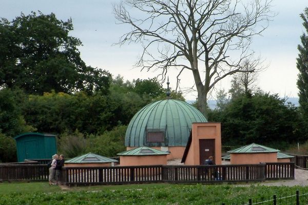
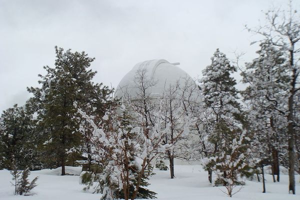
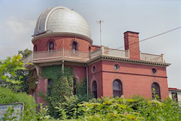
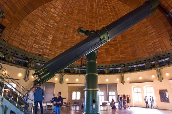
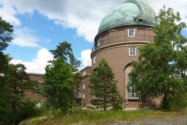
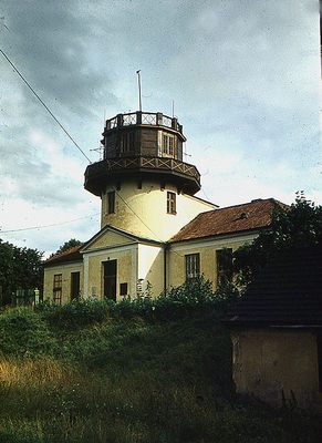
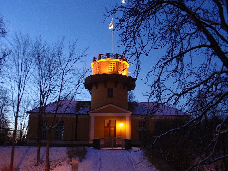
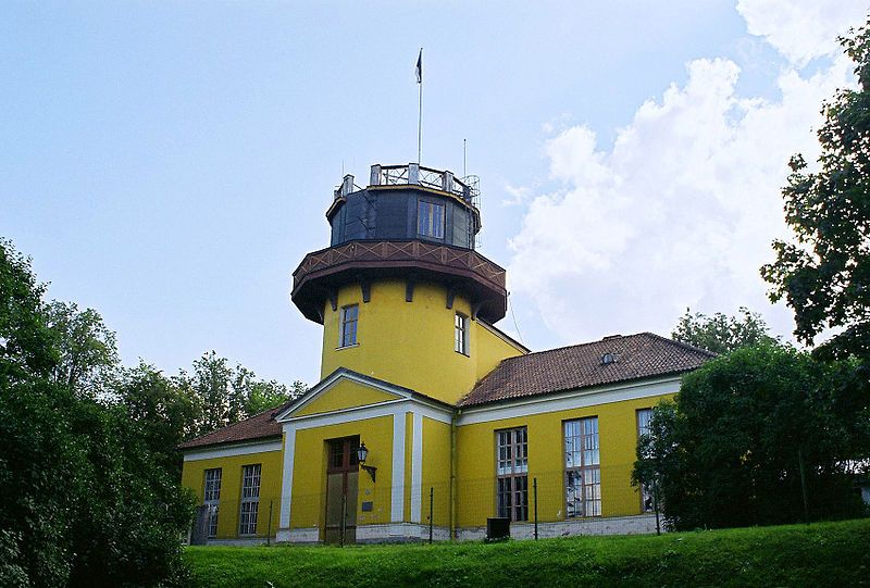
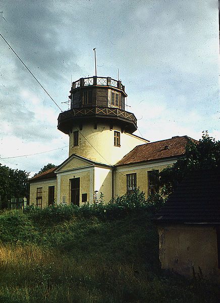
The old observatory of Tartu University on Toome Hill was founded in 1802 when the university reopened after a hiatus in the 18th century.
This venerable building holds historical importance, not only for being Estonia’s oldest and largest astronomical observatory, but also for housing the first point in the Struve Geodetic Arc, a series of survey triangulations that mark the first accurate measuring of a meridian. A scientific undertaking of colossal proportions, the Arc's aim was to determine the exact size and shape of Earth.
As early as the 17th century, Sir Isac Newton proposed that idea that our planet might not be a perfect sphere, that it is rather an ellipsoid slightly squashed at the poles. This curious effect is a result of interplay between gravitational forces and the Earth's spin. Early expeditions to Lapland and Peru confirmed initial suspicions.
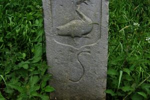
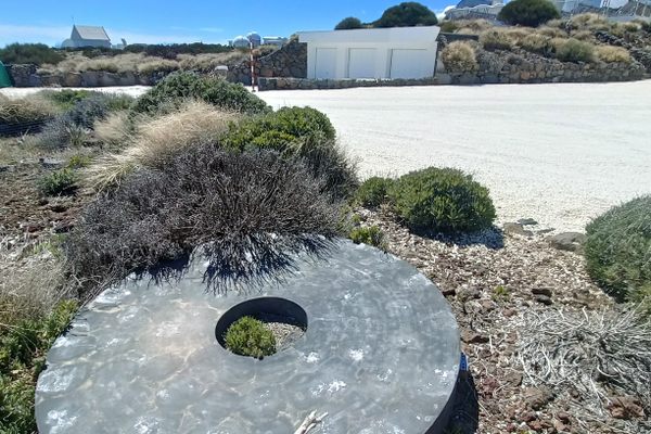
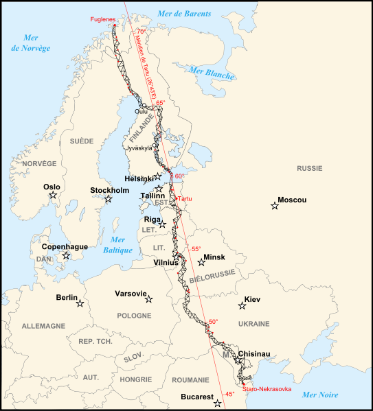
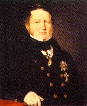
Named after Friedrich Georg Wilhelm von Struve, the Struve Geodetic Arc is a series of points surveyed between 1816 and 1855 that stretch for over 2,820 kilometers from the tip of Norway to the shores of the Black Sea along the meridian that passes through the city of Tartu. When completed, the Arc comprised 258 main triangles and 265 geodetic points. Only 34 points survive to this day. The main points are marked by drilled holes in rocks, iron crosses, commemorative plaques, and obelisks.
This experiment was by far the greatest geodetic survey in its day. It results had great repercussions on geography, geodetic measurements, cartography, and other related fields. It permitted the development of precise modern topographic maps. The Struve Geodetic Arc produced measurements of remarkable accuracy and some remained in use well into the second half of the 20th century.
The Struve Geodetic Arc is listed as UNESCO World Heritage Site.
Related Tags
Published
July 29, 2010
Sources
- UNESCO World Heritage: Struve Geodetic Arc: http://whc.unesco.org/en/list/1187
- Wikipedia: Struve Geodetic Arc: http://en.wikipedia.org/wiki/Struve_Geodetic_Arc
- International Federation of Surveyors: Struve Geodetic Arc: http://www.fig.net/hsm/struve/struve_intro.htm
- Wikipedia: Tartu Observatory: http://en.wikipedia.org/wiki/Tartu_Observatory
- Wikipedia: Friedrich Georg Wilhelm von Struve: http://en.wikipedia.org/wiki/Friedrich_Georg_Wilhelm_von_Struve