


About
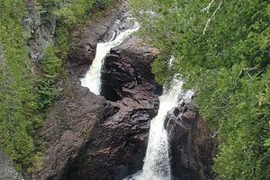
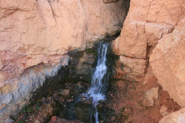
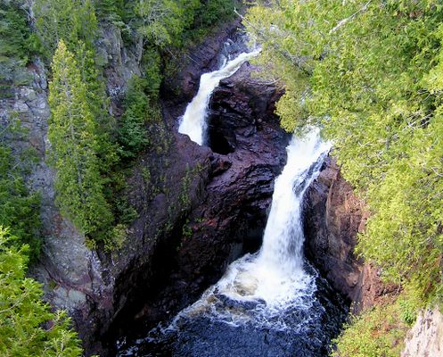
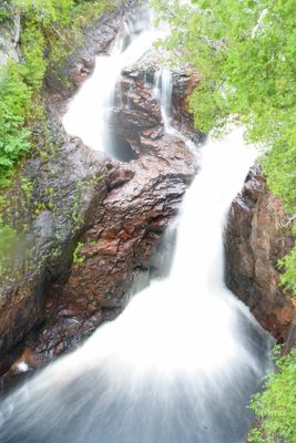
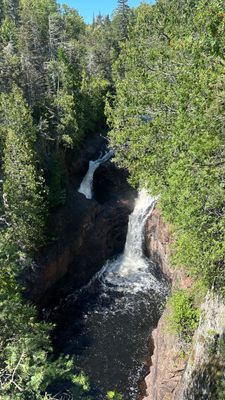
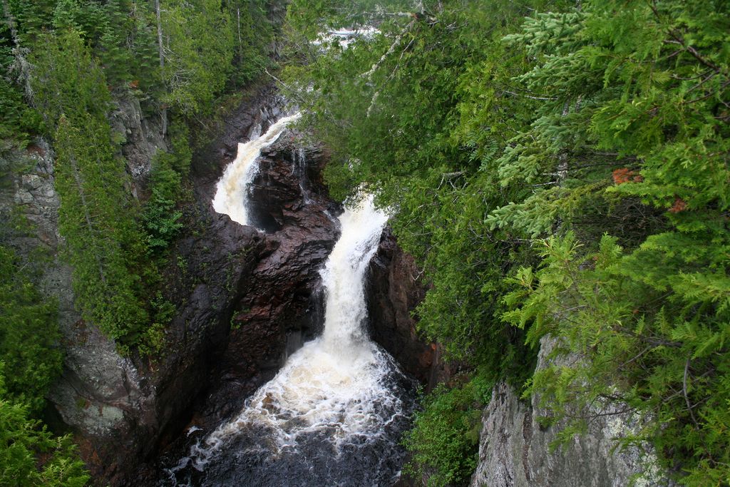
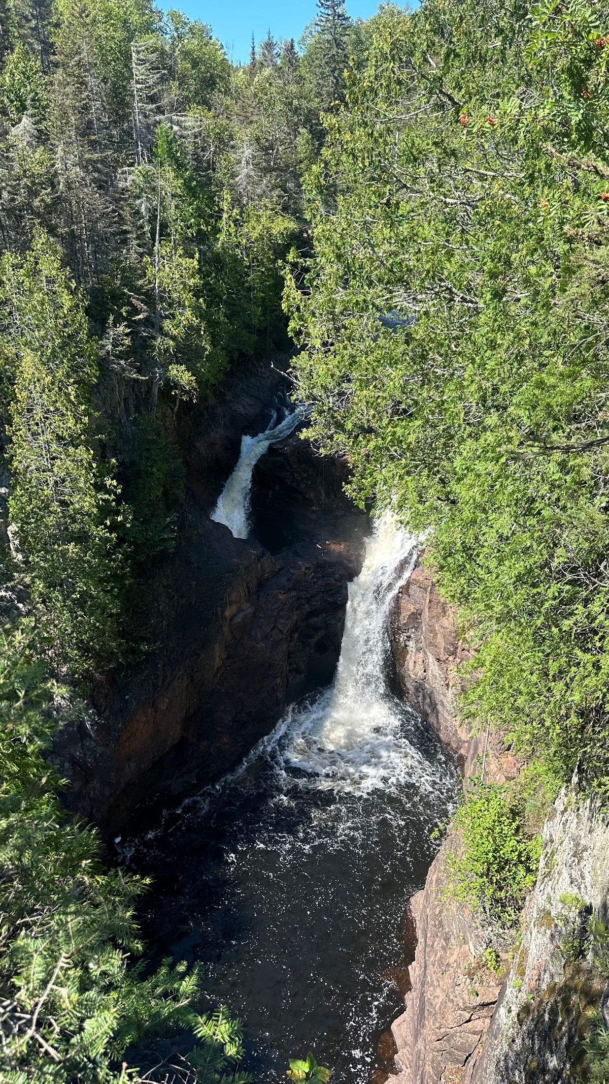
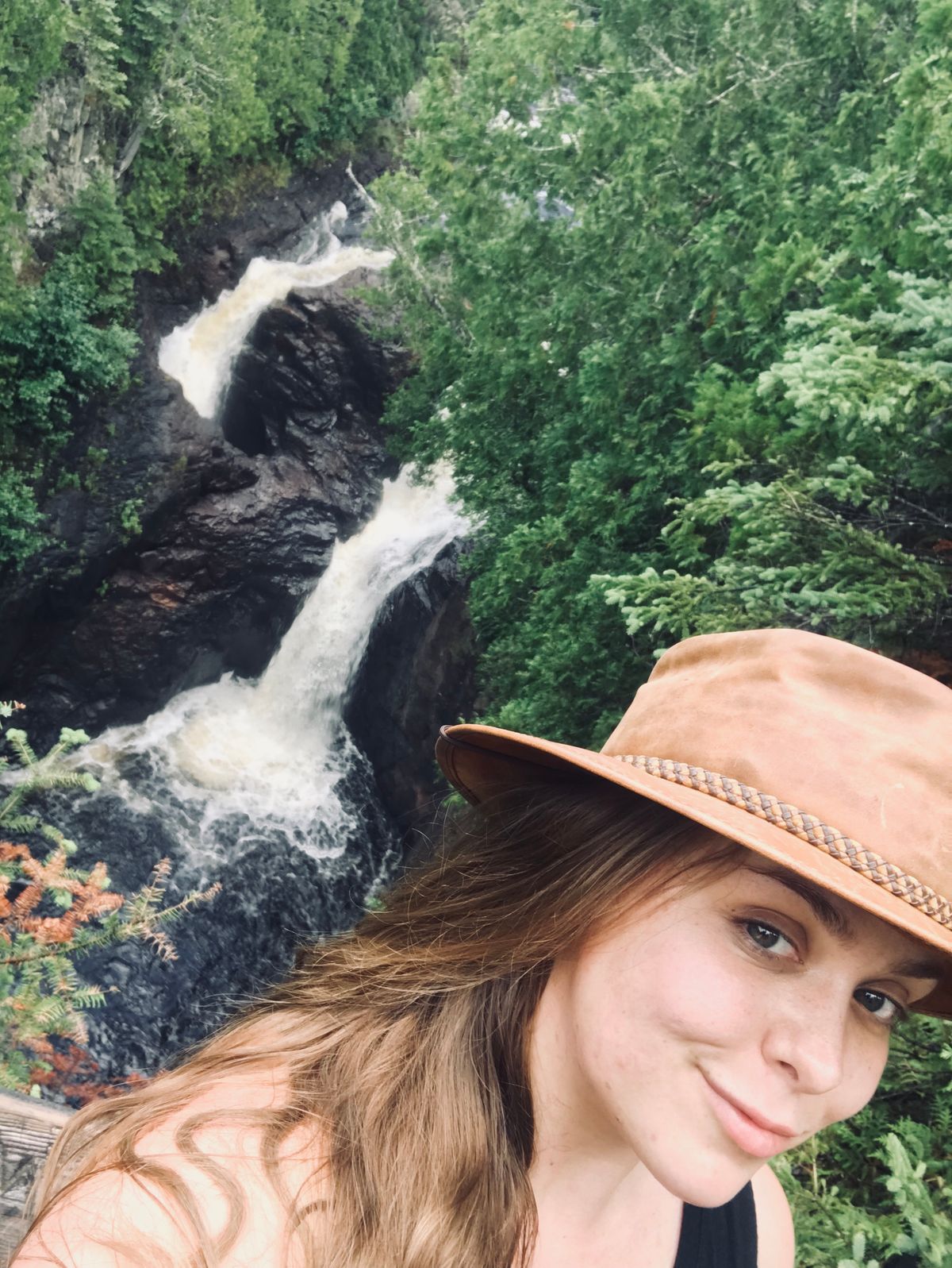
A large rock bisects the Brule River in Judge C. R. Magney State Park. The water that flows to the east tumbles 50 feet down a cliff and continues toward Lake Superior. The water that flows to the west enters a hole and disappears.
Known as Devil's Kettle, this water portal to nowhere has long puzzled Minnesotans. In attempts to trace the underground flow, researchers have dropped objects such as ping-pong balls and dye into the hole. But for centuries, the mysterious watery wonder continued to muddle the minds of anyone who came upon it.
The Minnesota Department of Natural Resources conducted experiments in 2016 that finally seemed to solve the mystery. In early 2017, the department's scientists announced that they had, at long last, solved the riddle. As it turns out, the water that tumbles into the kettle simply rejoins the river a little ways downstream.
Related Tags
Know Before You Go
Take US Highway 61 north anywhere on its route from New Orleans to Canada until you are about 15 miles short of Canada. Look for the Judge Magney State Park sign and turn left.
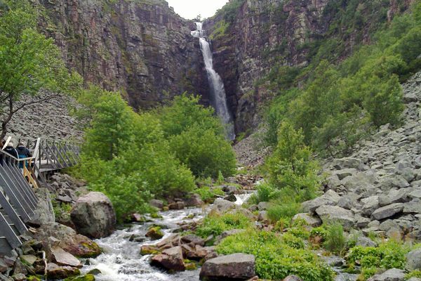
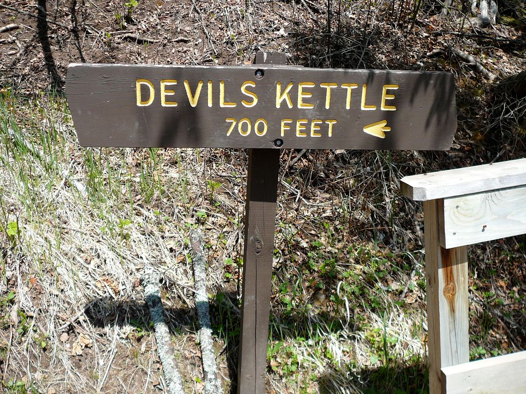
It's a bit of a hike from Highway 61, about 2.5 miles round-trip. About .75 miles into the hike, you’ll come across a path that cuts back behind and to the left of the main trail, taking you down to the lower falls of the Brule River. While impressive, it’s only a teaser of what’s to come ahead, the Devils Kettle.
At the end of the major hike (the trail continues on as the Superior Hiking Trail) you’ll arrive at Devil’s Kettle. About 1.25 miles in is an overlook where you can see the whole falls just before the steps that will bring you to the kettle. Brace yourself, it’s about 200 steps down to the river and up to the top of the kettle, but there are benches to stop and catch your breath.
Published
July 1, 2012
Sources
- http://www.exploreminnesota.com/listing.aspx?EntityId=7665
- http://www.exploreminnesota.com/myfavoriteminnesota/list.aspx?list=28120
- http://www.northshorevisitor.com/activities/waterfalls.html
- http://northshoreexperiences.com/
- http://www.dnr.state.mn.us/mcvmagazine/issues/2017/mar-apr/devils-kettle-mystery.html