Murdering Lane and Cutthroat Lane
Though they've since been renamed, these two streets hint at Dublin's darker days.
Place names can be endlessly fascinating, particularly for the insight they give about a place’s history. Sometimes they reveal portions of a city’s less-than-ideal past, as is the case with Dublin’s Murdering Lane and Cutthroat Lane.
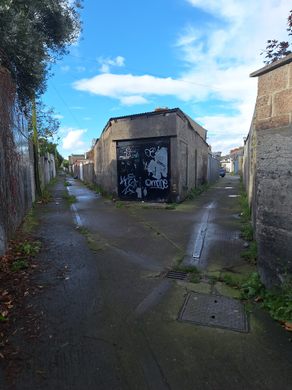
If old city streets referred to the chosen activities of their inhabitants, then Cutthroat Lane and Murdering Lane were hardly hot tourist spots of their time. City maps from the late 18th century record a Cutthroat Lane East and a Cutthroat Lane West, in case you were unsure where the murderous deed occurred. However, the road now has the more decorous name of Brookfield Road although, for a time, it was called Roundhead Row.
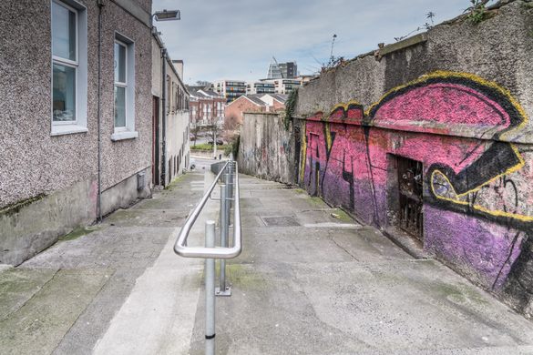
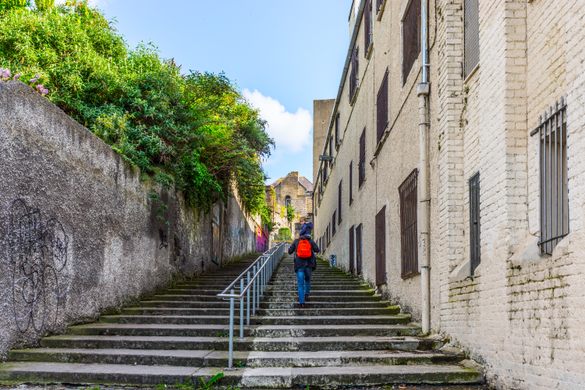
Close to Cutthroat Lane, there’s another laneway, a steep, stepped climb from the River Camac and Bow Lane to James’s Street. A city map from 1603 records this lane’s name as “Murd’ring Lane” which later became Murdering Lane. That name was changed again to Cromwell’s Quarters at a Municipal Council meeting of December 28, 1876, following the recommendations of a council committee to change the names of both of the unfortunately named lanes.
The change was proposed by Alderman McSwiney, who suggested the names be replaced by Roundhead Row and Cromwell’s Quarter’s, respectfully. When asked to explain his proposed changes, McSwiney is reported to have replied, “to preserve historical continuity.” This, according to contemporary reports, was greeted with laughter as Oliver Cromwell’s sojourn in Ireland from 1649 to 1653, accompanied by his New Model Army, distinctive for their round-headed helmets, was both brutal and bloody.
Know Before You Go
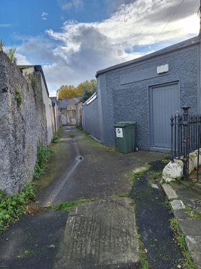
The GPS coordinates lead to the road that was once Cut Throat Lane.
Take the LUAS as far as James's Hospital and ask a local.






Follow us on Twitter to get the latest on the world's hidden wonders.
Like us on Facebook to get the latest on the world's hidden wonders.
Follow us on Twitter Like us on Facebook