Patowmack Canal
The semi-reclaimed ruins of this canal were once part of an ambitious plan to reroute the mighty potomac.
This entry is a stub
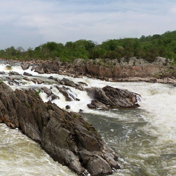
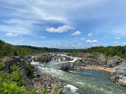
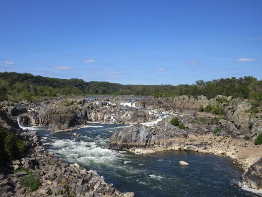
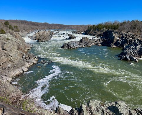
Just upriver from Washington, DC, the Potomac River builds up speed and force as it falls over a series of steep, jagged rocks and flows through a narrow gorge. The Patowmack Company was organized in 1784 to construct a series of five canals to make the river navigable. George Washington presided over the effort, a dream of his since his youth when he surveyed the river and its tributaires. Washington was convinced that such canals would stimulate trade between the East and the Ohio Valley and bind the country together in a framework of trade and mutual interest.
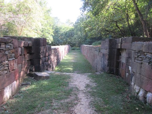
Construction began on this canal system (one of America’s first) in 1785 and was completed in 1802. The canals at Little Falls above Georgetown and at Great Falls required locks, a challenge for the company’s engineers. Elsewhere, the company dredged the existing riverbed.
The canal system was in operation for 26 years, transporting flour, corn, whiskey, furs, tobacco, iron ore, and timber on flatboats from far away as Cumberland, Maryland. In 1828 the Chesapeake and Ohio Canal Company bought the old Patowmack Canal and its rights and began construction of an ambitious canal system that would link Washington, DC and Pittsburgh, Pennsylvania. The remains of that project, in operation until 1924, are across the river.
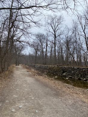
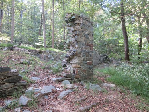
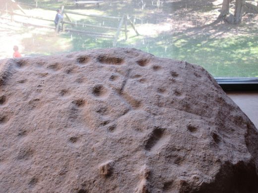
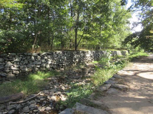
Today the Patowmack Canal is largely in ruins, though better preserved portions are visible as part of the Great Falls Park. Visible are remains of the locks, as well as portions of the canal itself. Where the canal is less well preserved, a shallow ditch still shows its path. The most impressive part is the rock cut for locks 3, 4, and 5, where the canal descended sharply to rejoin the Potomac river. Also visible in the park are the ruins of Matildaville, a city founded in 1790 which flourished and fell with the success of the canal. Besides the canal, the park has excellent views of the Great Falls that give the park its name. The Visitor’s Center does an excellent job of explaining the history and impact of the canal, as well as demonstrating the engineering feat it was when finished in 1802. The Visitor’s Center also has information on the history of the overall site, including a rock featuring ancient Native American petroglyphs.
Know Before You Go
Great Falls Park is a section of the George Washington Memorial Parkway. The entrance to the park is located off of Old Dominian Drive, about 15 minutes off the Washington DC, beltway. Entry to the park is $10/car, or $5/person without a car. Passes are available and you could easily see this and the Maryland Gold Mine Ruins (http://www.atlasobscura.com/places/maryland-gold-mine-ruins) in one day. There is ample parking but the park can get busy on nice days.








Follow us on Twitter to get the latest on the world's hidden wonders.
Like us on Facebook to get the latest on the world's hidden wonders.
Follow us on Twitter Like us on Facebook