Rifle Sight Notch
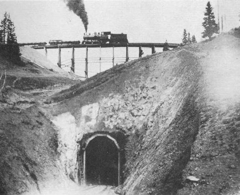
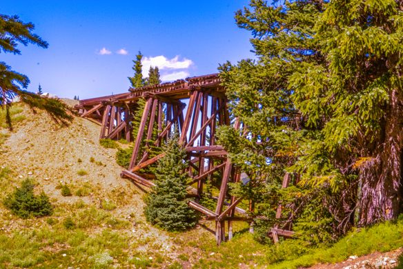
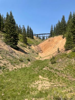
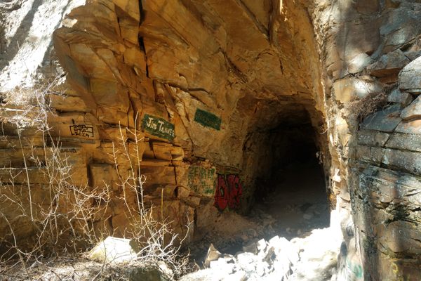
This old train trestle and collapsed tunnel once allowed the railroad to negotiate the steep slopes of the Colorado Rockies.
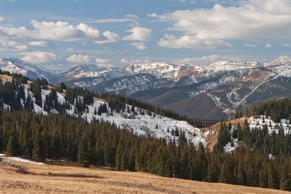
Colorado’s mountains do not lend themselves well to the building of railroads. Due to the limitation of grade, engineers had to develop novel approaches for getting trains up and down steep canyons and high mountains. This often involved building trestles and digging tunnels, or combining both to make what was known as a loop.
By passing the tracks across a high trestle traversing a narrow gap, gradually spiraling around the mountain then back under the trestle to complete the loop, the trains could navigate the high elevation of the Rocky Mountains. One of the few remaining examples of such a loop is the Rifle Sight Notch on the Rollins Pass route near Winter Park.
Looping around Spruce mountain, the route passes over Tunnel 33 on a 3-mile loop at a 2.5 percent grade, rather than take a 2-mile route that is more direct but includes 8 percent grades that are impossible for trains to negotiate. The loop allowed the train to gain or lose 175 feet of elevation per mile. Yet even with this gentle grade, trains managed to fall off the tracks with frightening regularity on this section of the Moffat Road. Evidence of at least two wrecks can still be found on the western approach to Tunnel 33.
From the pass, the trestle looks like the notch in a rifle sight, which is how it got its name. The tunnel under the trestle caved in following the closure of the route in 1928. The trestle—one of only three left on the Moffat Road—is unstable, but it remains as a testament to the engineering know-how needed to cross Colorado’s rugged mountains.
Know Before You Go
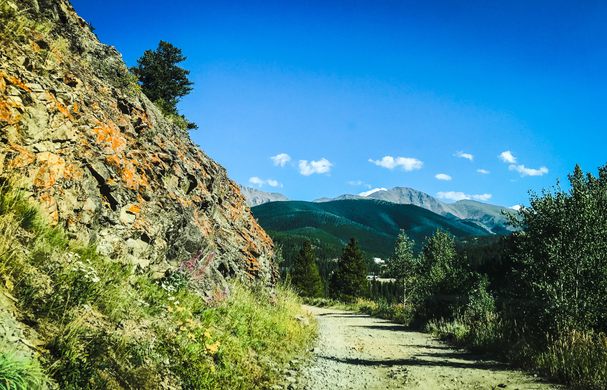
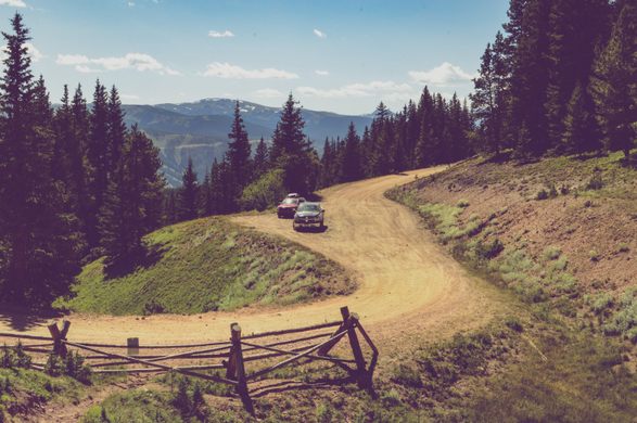
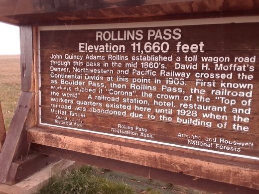
Rifle Sight Notch is 7 miles from Winter Park on the Rollins Pass Road (also known as Corona Pass Road). The trestle is dilapidated and unpassable. The north side of the tunnel is a short walk from Rifle Sight Notch Campground on the old railbed, while the south side is just off the road which detours up a steep slope from Tunnel 33. The lower part of the loop can be accessed at a Y junction about 5 miles from Winter Park. It can be hiked or mountain biked to the east side of the tunnel. The one-way distance is 2 miles. Again, the trestle is extremely old and the wood is extremely brittle. Stay off the trestle or risk injuries.







Follow us on Twitter to get the latest on the world's hidden wonders.
Like us on Facebook to get the latest on the world's hidden wonders.
Follow us on Twitter Like us on Facebook