New England Is Crisscrossed With Thousands of Miles of Stone Walls
That’s enough to circle the globe—four times.
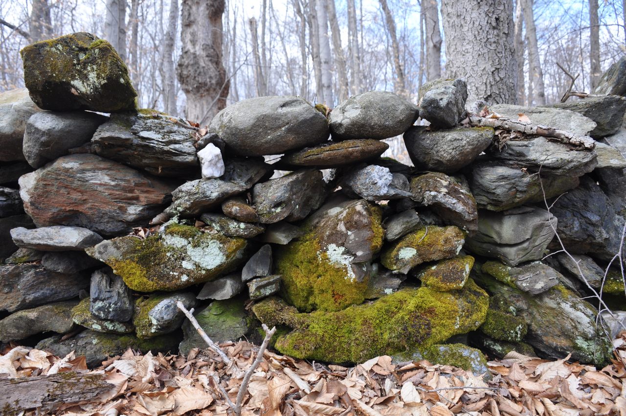
Walk into a patch of forest in New England, and chances are you will—almost literally—stumble across a stone wall. Thigh-high, perhaps, it is cobbled together with stones of various shapes and sizes, with splotches of lichen and spongy moss instead of mortar. Most of the stones are what are called “two-handers”—light enough to lift, but not with just one hand. The wall winds down a hill and out of sight. According to Robert Thorson, a landscape geologist at University of Connecticut, these walls are “damn near everywhere” in the forests of rural New England.
He estimates that there are more than 100,000 miles of old, disused stone walls out there, or enough to circle the globe four times.
Who would build a stone wall, let alone hundreds of thousands of miles of them, in the middle of the forest? No one. The walls weren’t built in the forest but in and around farms. By the middle of the 19th century, New England was over 70 percent deforested by settlers, a rolling landscape of smallholdings as far as the eye could see. But by the end of the century, industrialization and large-scale farms led to thousands of fields being abandoned, to begin a slow process of reforestation.
“New England had great pastures,” says Thorson. “It was a beef-butter-bacon economy.”
As farmers cleared those New England forests, they found rocks—lots and lots of them. The glaciers that receded at the end of the last Ice Age left behind millions of tons of stone in a range of sizes. New England soils remain notoriously stony today.
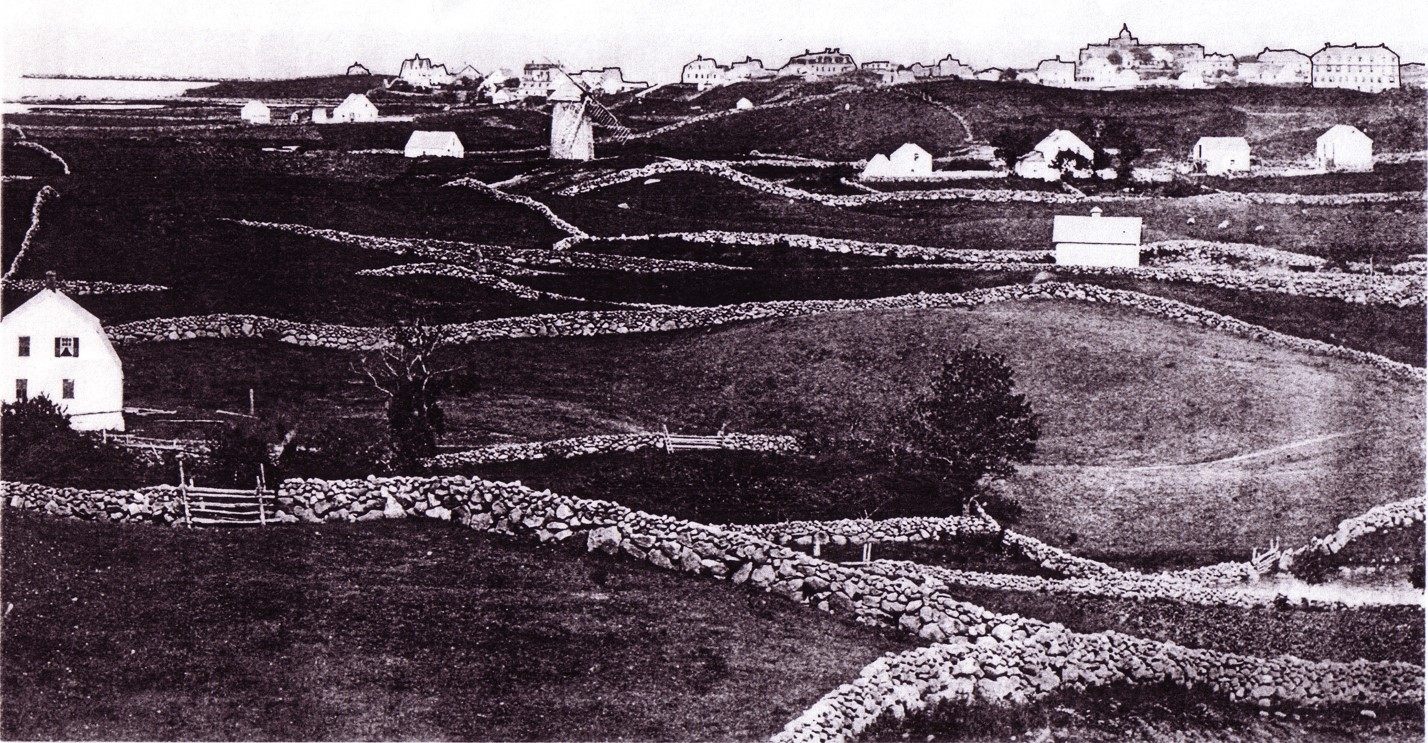
When life gives you stones? Build a wall. Farmers pulled these plow-impeding stones from their fields and piled them on the edges. “The farmer’s main interest was his fields,” says Thorson. “The walls are simply a disposal pile. It was routine farm work.” This process was replicated at thousands of farms across the region—a collective act of labor on a glacial scale.
The supply of stone seemed endless. A field would be cleared in the autumn, and there would be a whole new crop of stones in the spring. This is due to a process known as “frost heave.” As deforested soils freeze and thaw, stones shift and migrate to the surface. “People in the Northeast thought that the devil had put them there,” says Susan Allport, author of the book Sermons in Stone: The Stone Walls of New England and New York. “They just kept coming.”
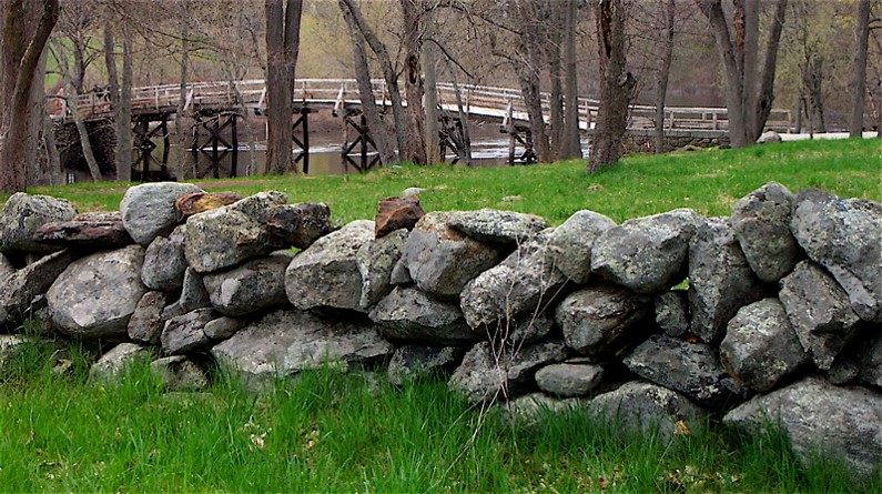
Wall-building peaked in the mid-1800s when, Thorson estimates, there were around 240,000 miles of them in New England. That amounts to roughly 400 million tons of stone, or enough to build the Great Pyramid of Giza—more than 60 times over.
No one dedicates more time to thinking about these walls than Thorson, who has written a children’s book, a field guide, and countless articles about them since he first moved to New England in 1984. Thorson, bald and bearded, a mossy stone himself, is a landscape geologist, and he distinctly remembers his first walks in the New England woods—and coming across one stone wall after another. His mind was full of questions about what they were and who built them, “it was a phenomenon that was extraordinary,” he says. “One thing led to another, and I got obsessed on the topic”.
Thorson started the Stone Wall Initiative in 2002, aimed at educating the public about this distinctive feature of their forests, in addition to conserving the walls and studying how they impact the landscape around them. Thorson has built a reputation as the ultimate expert on this phenomenon. “You know how a natural history museum would have a person who identifies stuff for you? I’m kind of that guy for stone walls,” he says.
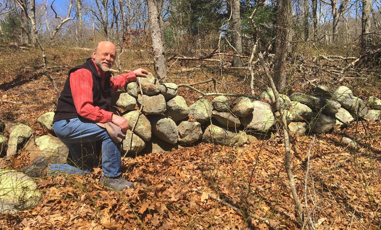
Every year he takes his students to a maple-beech forest stand in Storrs, Connecticut, which he calls “The Glen,” to look at a classic farmstead stone wall. This wall is thigh-high, and mostly built of gneiss and schist, metamorphic rocks common in the valley flanks of central New England. With Thorson’s help, one begins to see a little structure in how the stones were stacked—in messy tiers, by a farmer who added one load at a time.
Thorson may be particularly obsessed with the walls, but he’s not alone in the interest. He is constantly invited to speak at garden clubs, historical societies, public libraries, and more. “The interest doesn’t die down,” he says. “Twenty years later, it’s still going on.”
His field guide, Exploring Stone Walls, is a directory of some of the most unusual, interesting, or distinctive walls in the region. The tallest example is a mortared sea wall beneath the Cliff Walk in Newport, Rhode Island, measuring over 100 feet. The oldest wall, in Popham Point, Maine, dates to 1607. Thorson’s favorite historically significant wall is at the Old Manse, a historic home in Concord, Massachusetts. It provided cover for minutemen firing on the British during the Revolutionary War. Thorson also highlights Robert Frost’s “Mending Wall,” located on his farm in Derry, New Hampshire, the inspiration for the famous line, “Good fences make good neighbors.”
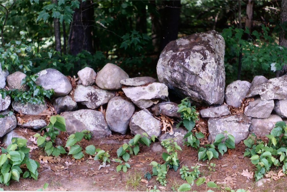
Thorson knows about as much as one can know about the world-wonder- scale web of walls across the Northeast, but there remains much to learn, particularly in terms of what they mean for ecosystems, such as their role as both habitat and impediment to wildlife, and their effect on erosion and sedimentation. “It sounds silly,” he says, “but we almost know nothing about them.”
Geographer and landscape archaeologist Katharine Johnson earned her doctorate mapping stone walls from above, using lidar (light detection and ranging) technology. Lidar is similar to radar, only instead of using radio waves to detect objects, it uses light. Laser pulses—thousands per second—are emitted from a specially equipped plane. There are so many of these pulses, that some are able to hit the small spaces between leaves and penetrate all the way to the forest floor, even through thick tree cover. Johnson’s lidar images reveal the exent of those crisscrossing stone walls in a way nothing else can.

Her research shows that, stripped of the region’s resurgent forests, the walls provide a snapshot of 19th-century history—a map of what land was cleared and farmed at the time. Combined with other data on the forests themselves, this can help specialists model historic forest cover and, in turn, help ecologists understand how forests grow back after they have been disturbed or cleared entirely. The walls can hold the key to New England’s social history, including settlement patterns and farming styles. They provide a static backdrop against which change can be measured.
“Stone walls are the most important artifacts in rural New England,” Thorson says. “They’re a visceral connection to the past. They are just as surely a remnant of a former civilization as a ruin in the Amazon rain forest.”
Each of the millions of stones that make up New England stone walls was held by a person, usually a subsistence farmer, or perhaps a hired Native American or a slave. What remains is a trace of countless individual acts etched on the landscape. “Those labors,” says Allport, “hundreds of years later, they endure.”







Follow us on Twitter to get the latest on the world's hidden wonders.
Like us on Facebook to get the latest on the world's hidden wonders.
Follow us on Twitter Like us on Facebook