Why Is New Zealand So Often Left Off World Maps?
An island nation’s call for help.

A little over 2,000 miles from Australia, there is a cluster of distinctively shaped islands. The northern one is shaped a bit like a lamb chop, the southern one like an artistic smear of mashed potato, sweeping south-west into the Tasman Sea. There are around 600 others, ranging from tiny freckles of rock to life-sustaining land masses two-thirds the size of Rhode Island. These islands are known as New Zealand. Perhaps you already knew that: Many of the world’s mapmakers, it seems, do not.
This is New Zealand’s complaint. It’s not a huge country, certainly—not a Canada or a China—but it’s not that small, either. At around 100,000 square miles, it’s similar in size to the witch-shaped British Isles, which certainly do make it onto the world map. If it were an American state, it would be the country’s ninth largest by land area, just slipping in between Colorado and Wyoming. Yet for some reason, it keeps being wiped from the map, and New Zealanders aren’t happy about it.
-96a8d2c1-7c03-4074-b0bc-3146f1512037.webp)
These struggles have been laid out for the rest of the world on the Tumblr blog World Maps Without New Zealand with the slogan: “It’s not a very important country most of the time.” This compendium names and shames organizations that really should know better: the Atlantic Media publication Defense One, Forbes, Mashable, Pyongyang International Airport. (Actually, the site’s curators say, there could be upsides to North Korea forgetting New Zealand exists.) Heck, even the New Zealand government has, on occasion, left themselves off the map.
There’s a kind of masochistic joy to this collection, and to an accompanying subreddit with 40,500 subscribers. New Zealanders don’t take themselves too seriously: If the rest of the world takes that one step further and forgets about them entirely, well, it could be worse.
Now, New Zealand’s Prime Minister Jacinda Ardern is getting in on the fun. In a new tourism campaign, utilizing the hashtag #getnzonthemap, a video shows Flight of the Conchords comedian Rhys Darby ringing up Ardern in a panic about the cartographic omissions. Is it a conspiracy, he wonders, or has New Zealand simply been forgotten? “Perhaps people are just leaving us off, thinking we’re a mistake?” he ponders.

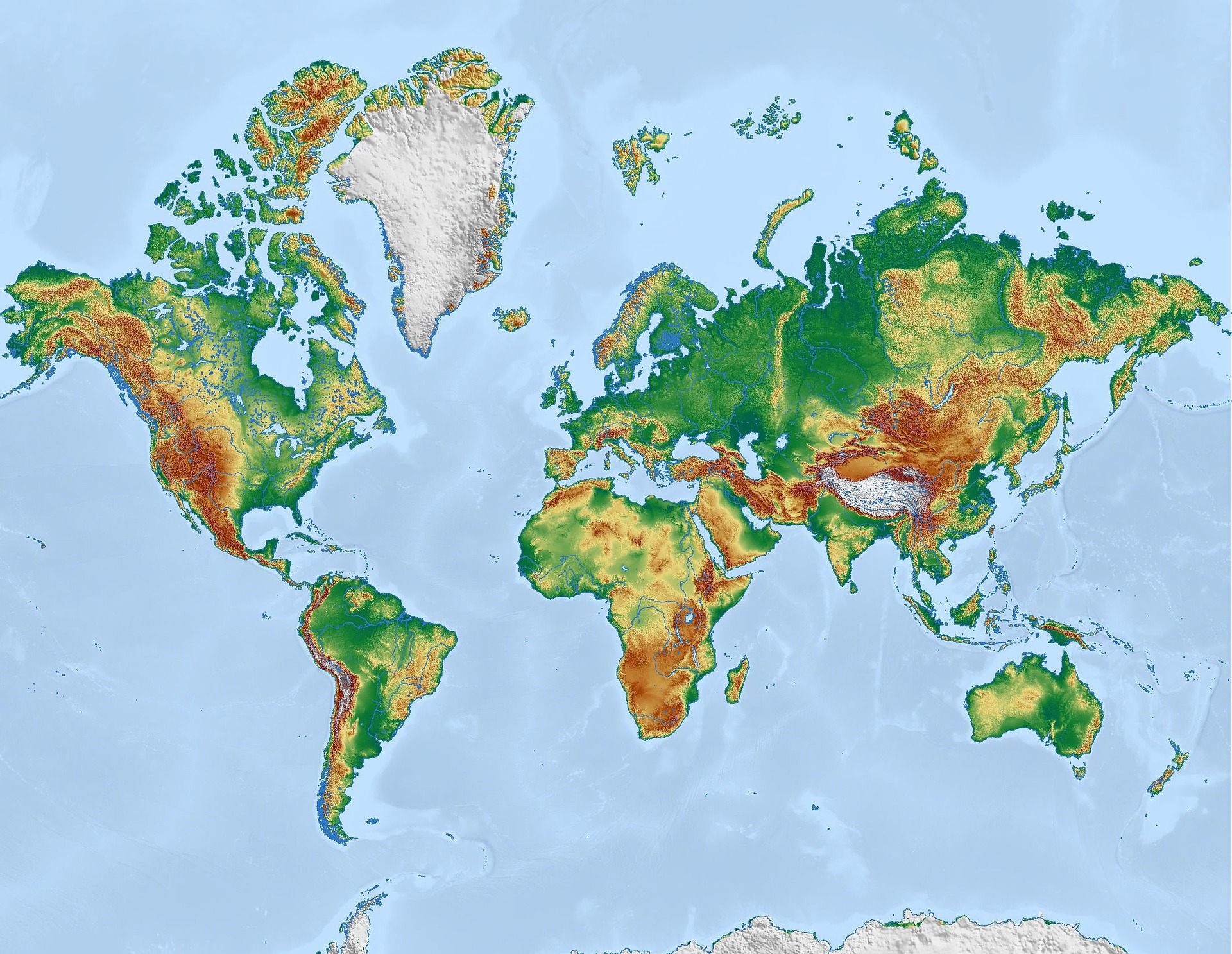
Most world maps use the Mercator projection. This 16th-century projection leaves New Zealand in the bottom right-hand corner of the world, and places Europe in the center. But the projection has its downsides: Greenland, which is roughly a third the size of Australia, looks gargantuan, while Alaska and Brazil appear comparable in size. In fact, the South American country is five times larger. New Zealand’s spot in the hinterlands of the Pacific make it easy to misplace with a thoughtless crop.
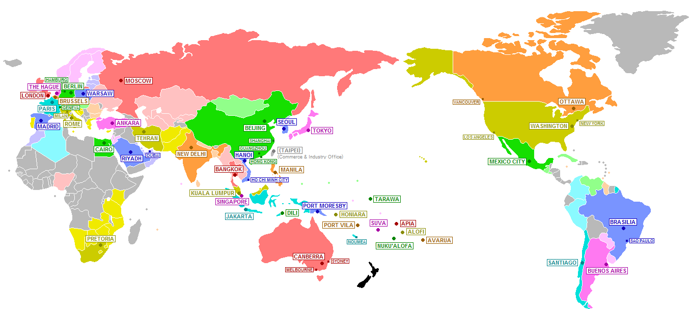
But there’s no particular reason to position it that way. New Zealand could just as easily be in the center of the world, with everywhere else pivoting around it. And, in fact, in New Zealand’s schools, it frequently is. On the posters hung on classroom walls, the Mercator projection is often adjusted to place Middle Earth in the actual middle of the earth—making it much, much harder to accidentally lop off.


Follow us on Twitter to get the latest on the world's hidden wonders.
Like us on Facebook to get the latest on the world's hidden wonders.
Follow us on Twitter Like us on Facebook