The 50-Foot Long Map of Manhattan Only On View for 6 Hours
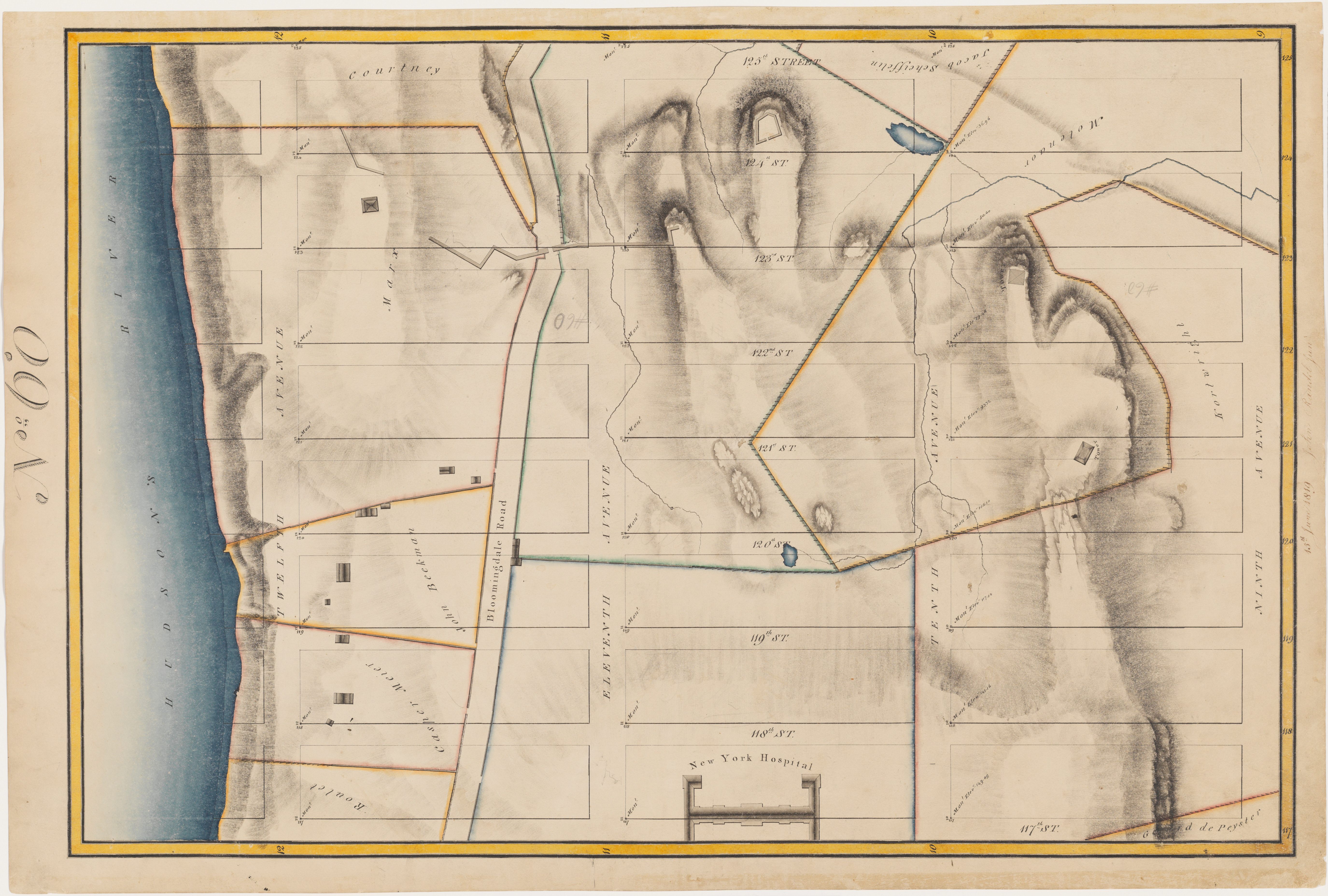
A piece of the 50-ft. map on display in mid-October. (Photo: Courtesy of Manhattan Borough President’s Office.)
In 1811, Manhattan’s famous form—its grid of streets and avenues—crystallized. The three men appointed to devise a blueprint for the city’s development issued the Commissioners’ Plan, an eight-and-a-half-foot map, surveyed and drafted by John Randel Jr., that organized and foretold the future city. Yet the landscape beneath the dark overlay of right angles is washed out, dull; the map reveals almost nothing of the erratic character of the rural hilly island.
A few years later, between 1818 and 1820, Randel, with the aid of his wife Matilda, created a map that is the inverse of the 1811 plan. In it, the rocky, undulating island with its swamps, orchards, and meandering creeks is vibrantly colored, textured, animated, while the grid-to-come is lightly sketched, an idea hovering above a varied and fascinating landscape.
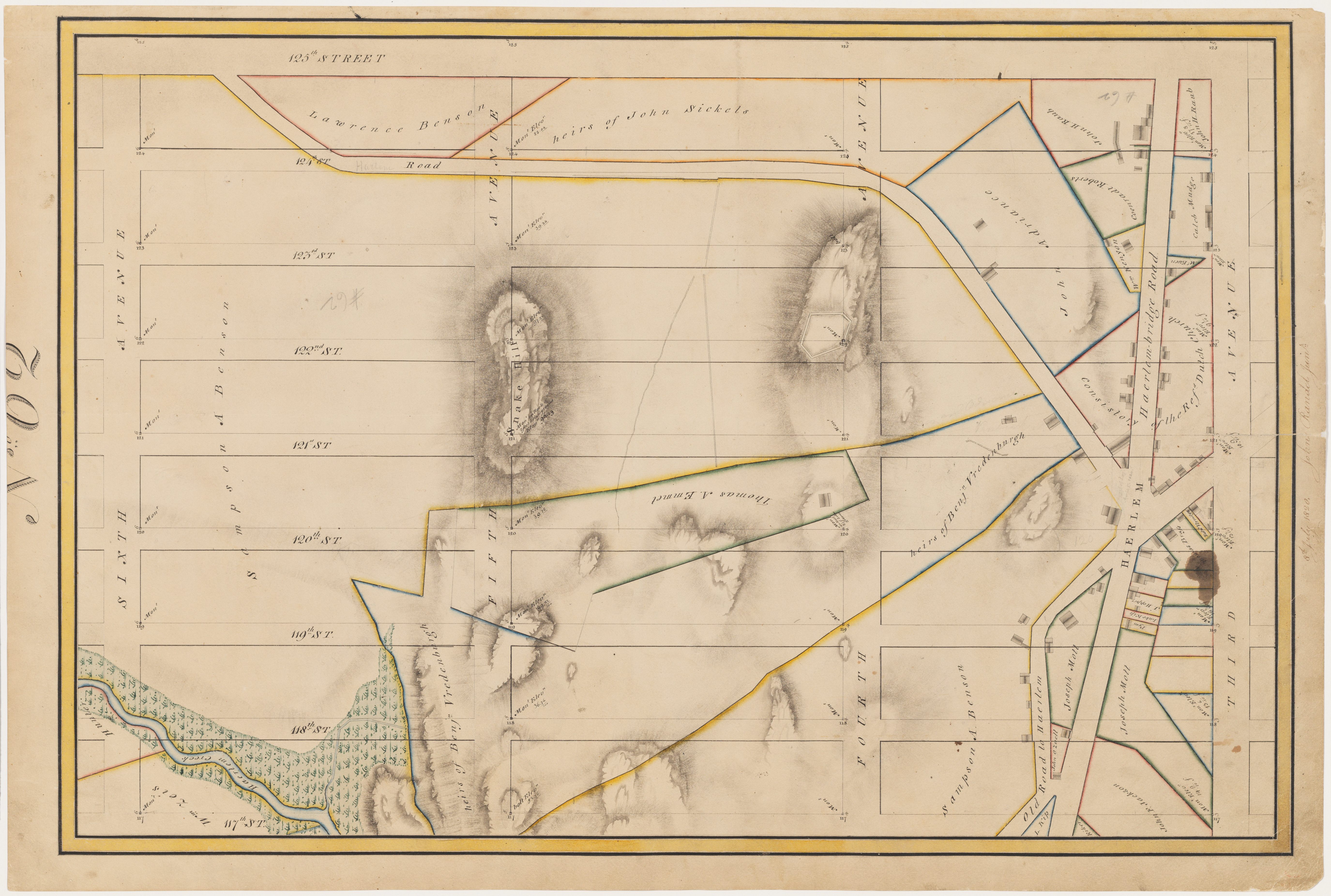
Photo: Courtesy of Manhattan Borough President’s Office.
This later map, called the Randel farm map, is one of New York City’s most beautiful and important—and one of the world’s most unusual. It is 50 feet long, 11 feet wide, and is comprised of 92 individual maps at a scale of 100 feet to one inch. No other city is known to have such a map at such a scale. It is “the most complete and valuable topographical record of the period that exists. It is, in fact, the only exact topographical map of the island,” wrote historian I. N. Phelps Stokes.
Today, this cartographical masterpiece is unfamiliar to most New Yorkers. The maps are housed in the Manhattan Borough President’s office, where an occasional historian or surveyor consults them. And two dozen or so were featured in the Museum of the City of New York’s Greatest Grid exhibit. But the maps—recently digitized for online exploration—have never been assembled in their entirety and displayed to the public.
Until last Saturday, for six hours.
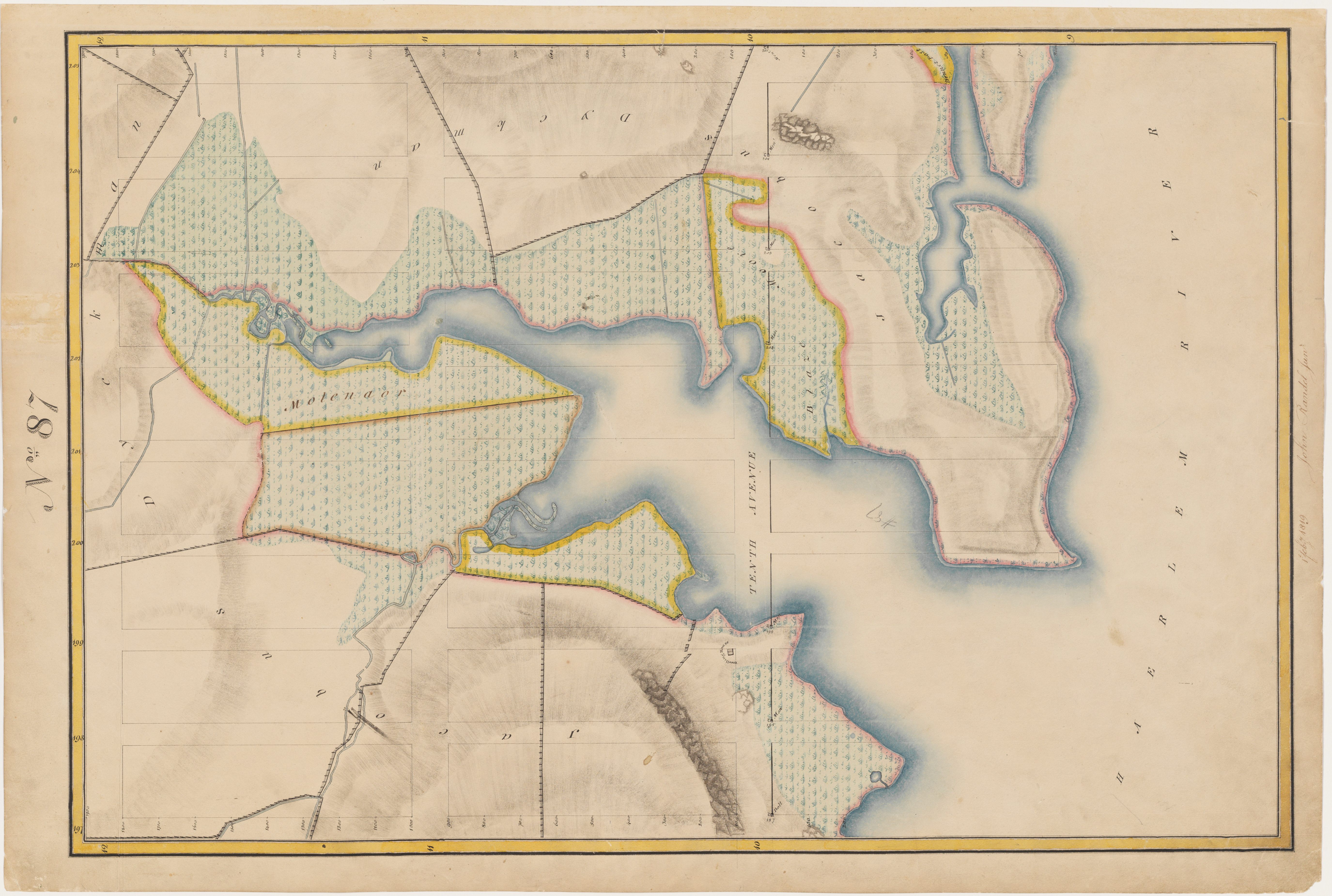
Photo: Courtesy Manhattan Borough President’s Office.
As part of Open House New York, the maps were placed in mylar covers, set on black-clothed tables and arrayed contiguously across a brightly sun-lit mezzanine at 1 Center Street, courtesy of Manhattan Borough President Gale Brewer and her staff. From 10 a.m. to 4 p.m., hundreds of New Yorkers studied the gorgeous maps, wandering up the West Side and down the East, reveling in the rocks, the swamps, the fences, fishermen’s houses, forts, quarries, inlets, bays, ponds, and the many hills. Manhattan residents traveled back in time to see the 19th century life of their block; some discovered that they live atop a former marsh, others that they live in what were the waters of the Hudson River. Many noted how much is gone, but also how much remains.
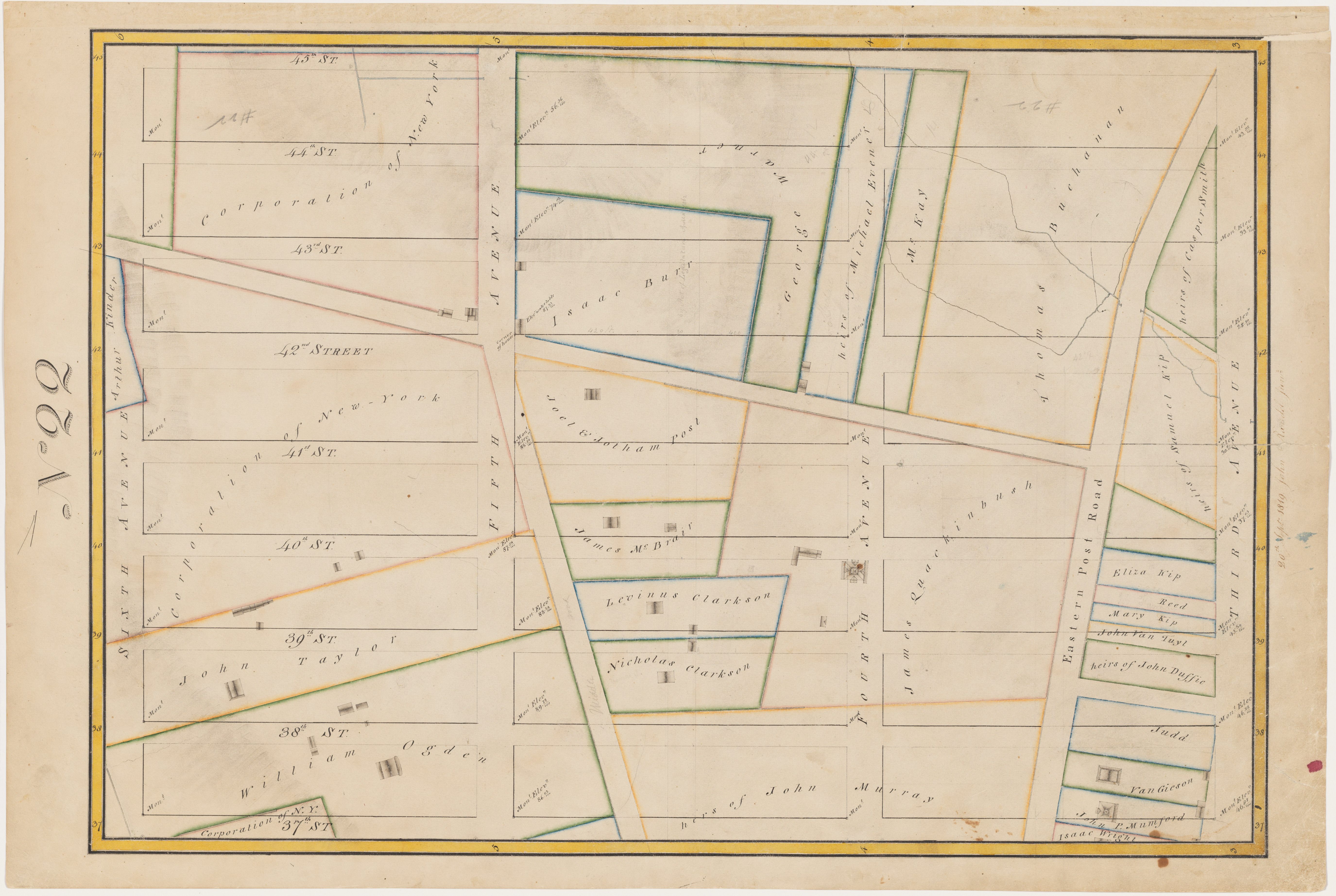
Photo: Courtesy of the Manhattan Borough President’s Office.
“I love seeing what has morphed into today,” said visitor Katherine Bradford. “I love that there are still these bits of the old island. It is like mitochondrial DNA. It just keeps going, despite the mixing and the generations. Who knew it was still there.”
For those who missed this map experience, the good news is, you’ll get another chance. The bad news is that the next public viewing of these city gems might be until next fall’s open house event.




Follow us on Twitter to get the latest on the world's hidden wonders.
Like us on Facebook to get the latest on the world's hidden wonders.
Follow us on Twitter Like us on Facebook