About
In December of 1953, an unusual blizzard mingled with a dust storm and caught a B-36 bomber in the sky with no way to land. Earlier in the day, the plane had started a relocation trip to Biggs Airfield in El Paso, Texas. But when it got close to downtown El Paso, the pilot couldn’t find the airbase because of the abysmal conditions.
The plane was said to have circled the city a few times trying to find its landing strip, but struggled to continue flying. The pilot and crew began trying to use their instruments to land the plane, but they they didn’t take into account the 7,000-foot-tall Franklin Mountains that stood between them and the airbase.
The bomber is believed to have struck one of its massive wings on the side of the mountain before crashing into the ground. Accounts say there was a large fire at the crash site that sent smoke billowing into the sky for days. Rescue crews couldn’t reach the wreckage site due to the snow and the difficult landscape. All nine airmen ultimately perished.
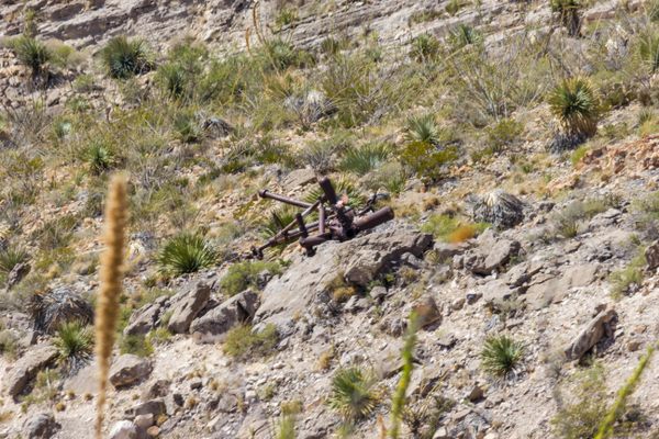
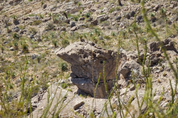
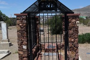
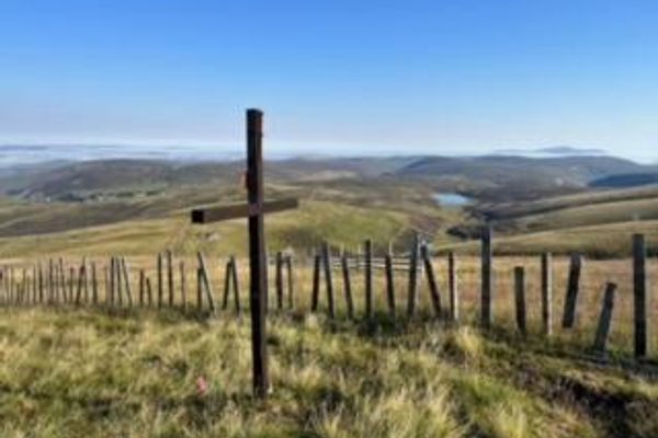
Today, due to the rugged terrain, there’s still much of the wreckage scattered about the mountain. You can reach the site of the crash by hiking a challenging trail. There are still large pieces of the engines, landing gear, and even part of a tail fin on the mountain. People have also built memorials to the airmen by the wreckage.
The plane was a historic aircraft. At the time, the particular model was the world’s largest intercontinental bomber. Though it never fired or dropped a bomb during combat, the plane was equipped to ferry nuclear warheads from the United States to Russia during the Cold War.
Related Tags
Know Before You Go
You can travel up to the top of the mountain using the Wyler Tramway, then hike the Ranger Loop Trail to see an overlook at the wreckage. Or you can start at the bottom of the mountain and hike up to get a closer look. This is a hard trek. It takes about three hours to hike in and two hours back.
Community Contributors
Added By
Published
May 30, 2018
