About
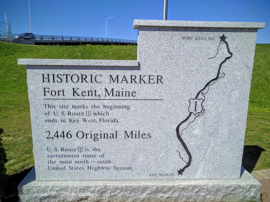
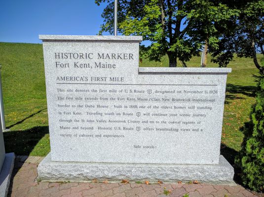
Created in 1926 by fusing together a patchwork of regional highways into one uniform national thoroughfare, U.S. Route 1 runs for 2,369 miles from Fort Kent, Maine all the way to Key West, Florida.
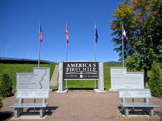
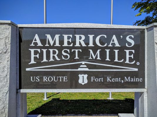
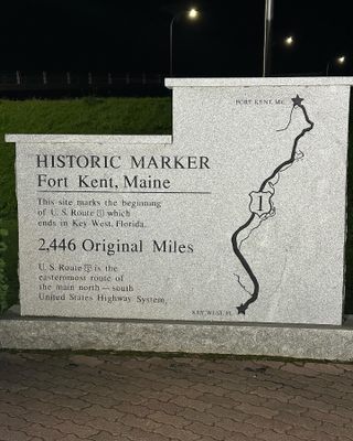
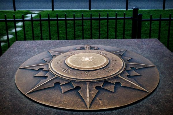
While it runs through most of the major cities on the Eastern Seaboard, the country's longest and easternmost north-south highway has only one starting point, which is celebrated with a granite monument to America's First Mile.
When plans for the U.S. numbered highway system were first hatched in 1925, there were already a number of connected but logistically discontinuous named highways built and maintained by private entities that carried traffic up and down the east coast. In determining the route for the easternmost roadway in this new national system, a course was chosen that followed the coast's so-called fall line, which maps the the furthest inland navigable points for commercial shipping.
At these places up rivers or at the tops of bays, cargo would finally have to be unloaded from boats and transferred to wagons or warehouses. Thus, busy towns and cities tended to develop at these points, and roads tended to develop to connect them. It was, in other words, a geographical feature that provided a convenient framework for a continent-spanning coastal highway. And the American town at the northern end of this fall line was Fort Kent.
The northern terminus of U.S. Route 1 was marked by a wooden sign until 2010, when the new granite monument and accompanying plaza were built in a spot overlooking the bridge across the St. John River to Claire, New Brunswick. If you're standing at the monument looking for U.S. Route 1, however, don't look south—the road actually leaves town to the north, following the looping contour of the international border to Saint Leonard, where it finally turns firmly south on its long journey to the Florida Keys.
Related Tags
Published
September 20, 2016
