About
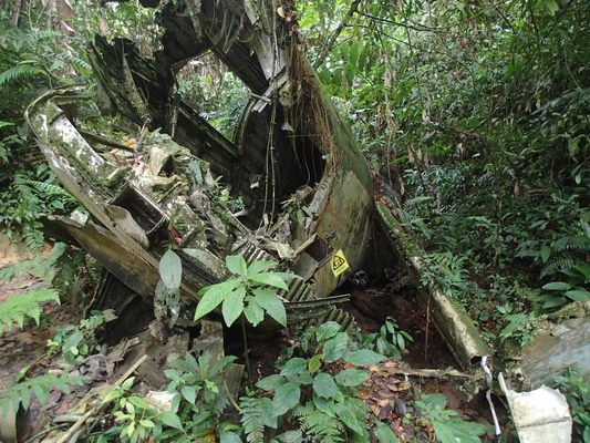
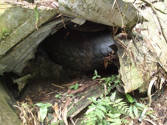
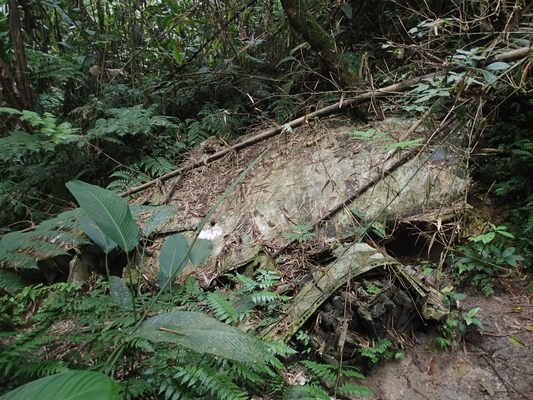
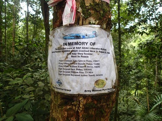
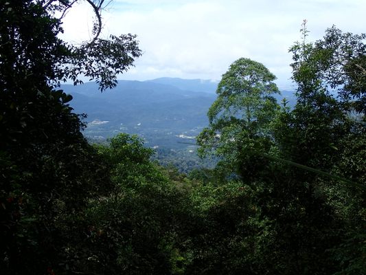
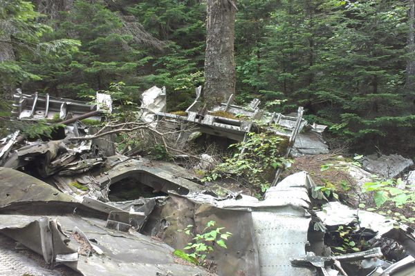
On a rainforested mountaintop in Malaysia, not far from Kuala Lumpur, lies the wreckage of a Royal Air Force B-24 Liberator. World War II had ended only a few days before the British aircraft disappeared, lost while dropping supplies for resistance fighters in the remote jungles of Seremban, Negeri Sembilan. It was more than a thousand miles from its base in the Cocos Islands.
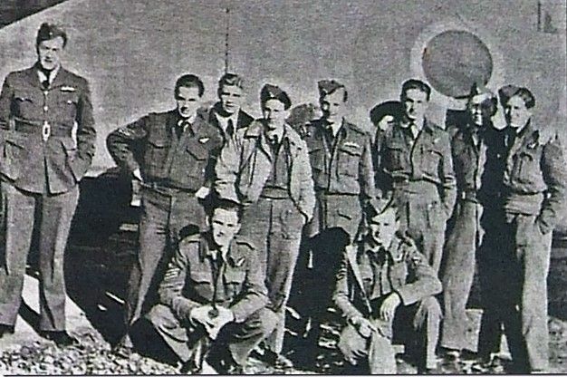
Less than a week after the surrender of Japan, a crew of eight was sent on a mission to the Malay Peninsula to drop supplies, search for POW camps, and perhaps to even drop leaflets announcing the end of the War. There was no distress signal, no indication of trouble—but the plane disappeared, thought to have gone down in the ocean.
Forty six years later, a remote wreckage site was reported by local Orang Asli tribesmen. The wreck may have first been spotted in the 1950s, but those reports are sketchy and, if true, were never acted on. (At the time, fear of an ambush by Communist insurgents may have been a factor.) When the locals came to the authorities in 1991, it was thought the plane might be the missing RAF tail# KL654/R, but expeditions to examine the site didn’t begin until 2006.
In 2009, British and Malaysian volunteers excavated the area, uncovering the remains and some personal effects of the eight-man crew. In 2012 they were laid to rest at a special ceremony at the Cheras War Cemetery in Kuala Lumpur.
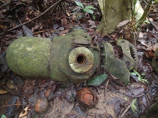
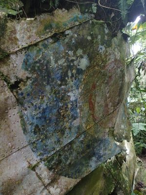
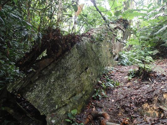
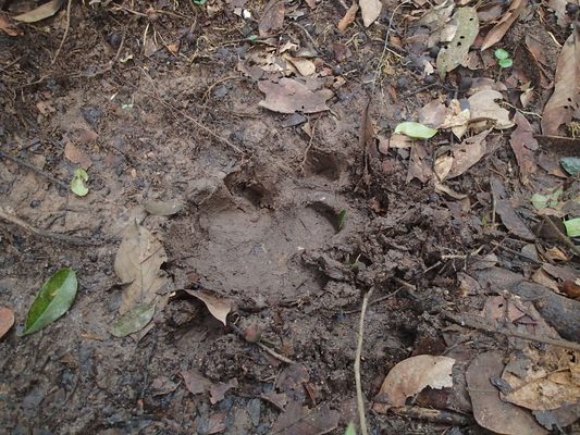
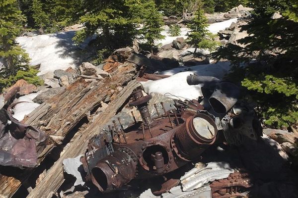
The wreck, while spread over a large area, is well preserved, including sections of the wings, the fuselage, the engine, and even some faint markings. Although located in thick virgin jungle, it’s a popular destination for hiking groups. There is abundant wildlife, including siamang gibbons, and—although the species has been declared extinct on the Peninsula—Sumatran rhinos have been rumored to check the site out too.
Related Tags
Know Before You Go
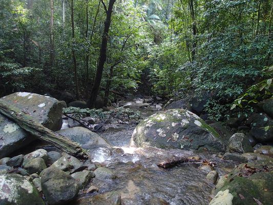
The wreck is located on the mountain called Gunung Telapak Buruk, about an hour’s drive south of Kuala Lumpur. There are two hiking routes to the wreck, the northern route is shorter, but requires a four wheel drive to get to the trail head (this is the position marked here). The southern route is longer and more challenging – about a 20 kilometre round trip through rugged terrain crossing Gunung Berembun, and the trail starts near the village of Kampung Pantai Baharu.
There are several hiking groups that arrange visits to the site, and the trail itself, once located, is well marked and regularly used.
Community Contributors
Added By
Published
October 7, 2016
Sources
- http://mhg.mymalaya.com/ww2_b24.htm
- http://aircrewremembered.com/watts-john.html
- http://www.dailymail.co.uk/news/article-2219632/Remains-RAF-crew-died-World-War-II-rediscovered-years-ago-given-military-funeral-Malaysia.html
- https://thriftytraveller.wordpress.com/2012/10/25/burial-of-kl654r-flight-crew-at-cheras-road-cemetery/
