About
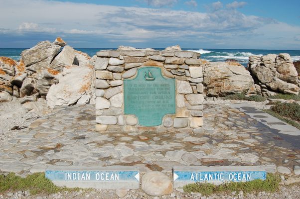
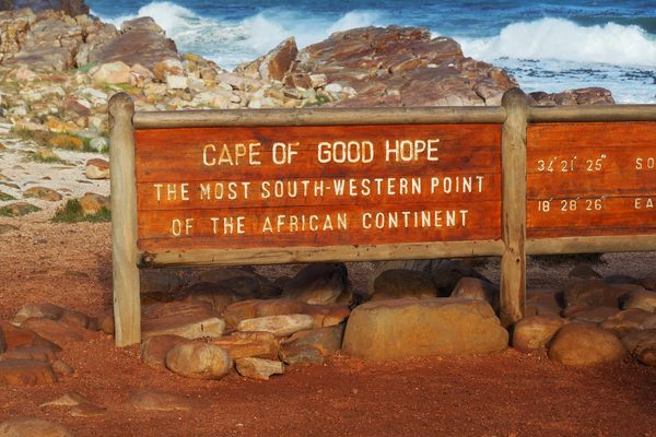
Though not nearly as celebrated as the Cape of Good Hope, this chunk of South Africa’s coastline is still special. It’s the southern tip of Africa, and according to the International Hydrographic Organization marks the line where the Atlantic and Indian Oceans split.
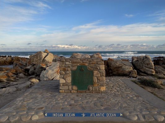
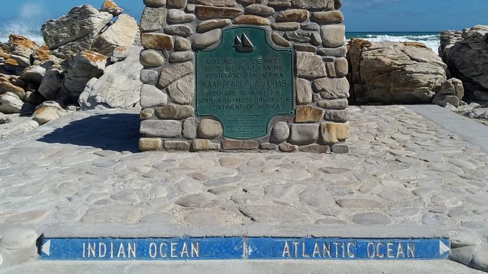
A small stone bearing a sea-green plaque explains the cape’s geographical significance. An additional sign shows the divide between the Atlantic and Indian Oceans.
It’s amazing to stand at the continent’s most southerly spot. Look toward the water, and you realize you’re gazing upon two great oceans while the whole entire continent stretches behind your back.
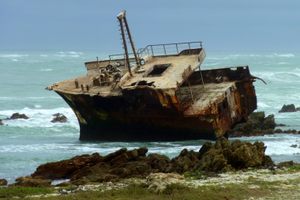
Cape Agulhas may not be super famous among tourists, but it is renowned among sailors. The waters around the cape are notoriously turbulent and unpredictable. Winter storms whip the waters into a hellish frenzy, and waves up to 100 feet tall have caused even large ships to succumb to their fury. It’s estimated that about 150 ships have sunk there within the last few centuries.
The nearby lighthouse is also worth checking out. It's the second oldest still-operating beacon in South Africa and now houses a small museum.
Related Tags
Know Before You Go
Accessible via a gravel road south of Cape Agulhas Lighthouse.
Published
April 26, 2018
