About
Everyone knows about the UNESCO World Heritage Site Stonehenge, 160 or so miles to the east on Salisbury Plane, but why are we reading about this world-famous landmark in an entry based in Wales? Well, it was long known that the small bluestones in the henge came from Wales, and now, thanks to modern chemical analysis, we know precisely where they were quarried from.
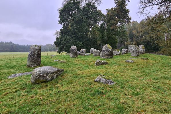
At first, Stonehenge was a circular earthwork enclosure, constructed in about 3000 B.C. It consisted of a ditch with chalk piled up to make an inner and an outer bank. Within the ditch was a ring of 56 timber or stone posts. Around 2500 B.C., the site was transformed by the construction of the central stone settings. These included smaller bluestones. The bluestones weigh between 2 and 5 tons each, and it is believed that their current positions at Stonehenge only represent their final locations. Some of the bluestones are likely to have previously stood in a stone circle on the bank of the river Avon at West Amesbury henge and some may originally have been part of a stone circle at Waun Mawn in the Preseli Hills.
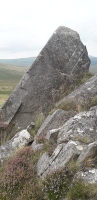
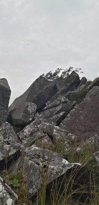
Returning to the Preseli Hills, this is the site where the Neolithic henge builders quarried their materials. Recent chemical analysis of the rocks, and archaeological excavation at two sites, Carn Goedog and the nearby Craig Rhos-y-Felin, have identified them as the Neolithic quarry sites. Excavations at Carn Goedog revealed a large number of coarse stone tools, a handful of quartz flakes, and a single chert blade, which would have been used for quarrying. Natural pillars remain in situ, and excavation has also revealed where pillars have been quarried.
So now we know where some of the stones at Stonehenge came from. How they arrived at their final location having been quarried in Wales remains something of a mystery, as does how long the journey took, where they rested, and what they were used for along that journey.
Related Tags
Know Before You Go
The walk to Carn Goedog is wet and boggy and very steep in places, and will require a good level of fitness, as well as suitable outdoor clothing and footwear. It is best approached from the south, and parking is available about 2 miles to the south on the un-named road running east-west between Mynachlog-Ddu and the B4313.
The location of Carn Goedog is 51°57'55"N 4°43'31"W, while the car park can be found at 51°56'38"N 4°43'34"W.
Community Contributors
Added By
Published
November 23, 2022

