About
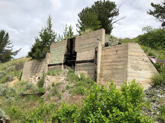
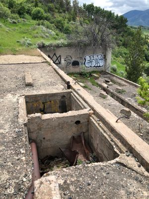
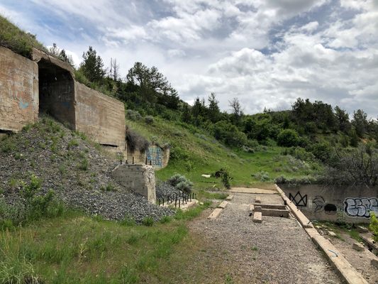
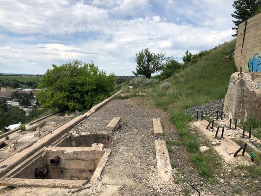
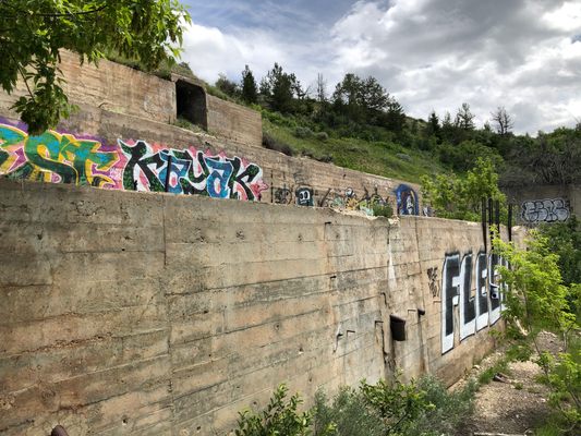
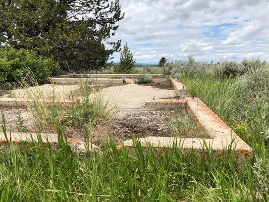
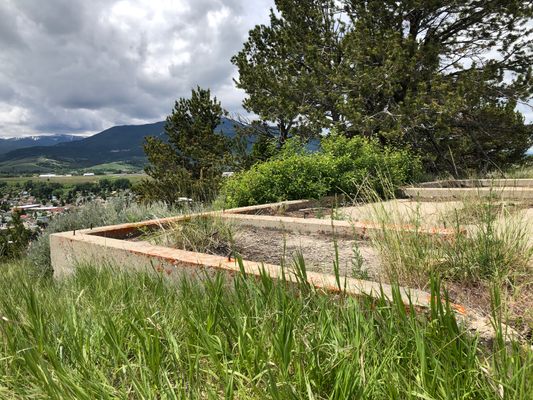
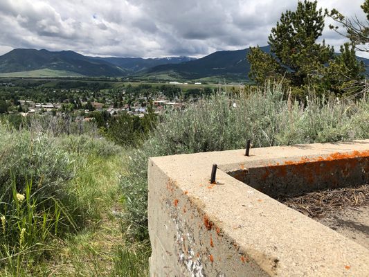
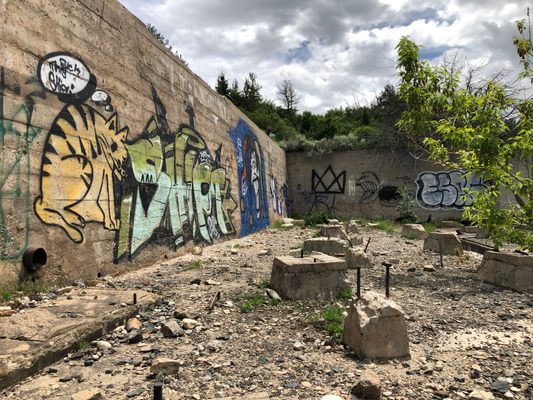
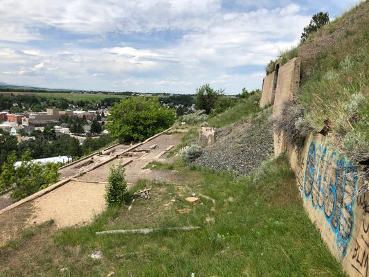
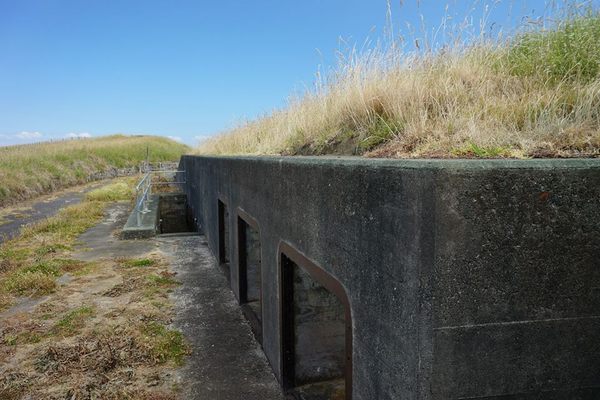
Commonly mistaken as the remains of the East Side Mine from the town of Red Lodge’s former mining heyday, this three-tiered concrete foundation is actually the remains of a chrome concentration mill that was built in the early 1940s and operational for less than a year.
As early as 1916, chromite deposits were discovered just outside of the town of Red Lodge in the Beartooth Mountains, near where sections of the Beartooth Highway reside today. During the early 20th century, coal was the primary ore being mined and produced in and around the town, with two major mines—the East Side Mine (known officially as the Rocky Fork Coal Company Mine) and the West Side Mine—flanking the town on each side. By 1932, both of these mines had been shut down and Red Lodge was looking at an uncertain future with the Great Depression in full swing across the United States.
With the United States preparing to enter another world war in the late 1930s and early 1940s, materials were needed for the production of munitions and battleships. Chrome was in high demand for its use in steel and iron products. To answer this demand, the U.S. Vanadium Corporation decided to build a chrome concentration mill on the site of the town’s former East Side Mine. The mill was completed in early 1942 and began processing chromite that was mined near the Beartooth Highway’s famed “Mae West Curve.”
The mill had the ability to process up to 450 tons of chrome concentrate per day. Between the months of March and November of 1942 alone, it turned out approximately 11,689 tons. Later that year, the Allied forces reopened shipping lanes within the Atlantic Ocean, gaining access to higher-grade African ore. This would essentially spell the end for the mill, and its closure would subsequently arrive the same year as its opening.
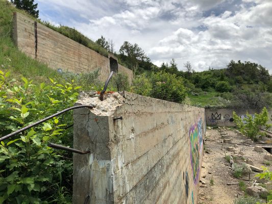
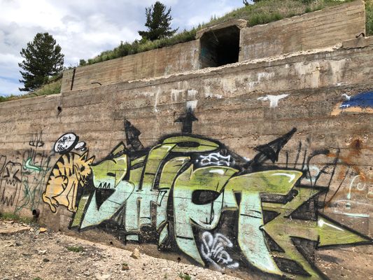
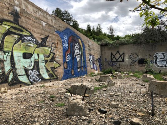
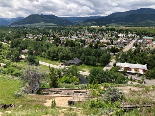
The mill would be left abandoned for almost a decade, until a fire in 1951 completely destroyed the building aside from the concrete foundations that still remain today. The foundations of the old mill have become a sort of canvas for local graffiti artists and are still clearly visible from downtown Red Lodge.
Related Tags
Know Before You Go
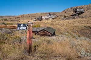
The ruins reside on private property, please do not trespass and seek permission before venturing onto the property.
Published
September 11, 2020
Sources
- https://deq.mt.gov/Land/AbandonedMines/linkdocs/39tech
- https://billingsgazette.com/bet-you-didnt-know/article_5ac52ce3-498f-501c-a047-fc81797a6f58.html
- Images of America: Red Lodge by John Clayton and the Carbon County Historical Society
- https://thediggings.com/mines/usgs10008965
- https://digitalcommons.mtech.edu/cgi/viewcontent.cgi?article=1170&context=bach_theses
