About
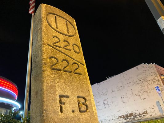
Pasadena locals comparing, even with tongue firmly in cheek, an old highway milestone to a famed Stone Age megalithic monument may seem like an overreach, until the absolutely vital part that cars and the surfaces they travel on have played in the history of Southern California is taken into consideration. This particular roadside relic is a remnant of the first highway system implemented in Los Angeles County, and was placed here when the Foothill Boulevard Highway ran through this right of way in the early 1900’s.
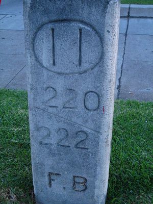
Starting at the old county courthouse in downtown Los Angeles, and continuing to the highway’s terminus in the foothills of the San Gabriel Mountains, the miles were marked by a series of stones – in this case, Mile 11, which is engraved at the top. The “220” and “222” refer to block numbers, and the “F.B.” is the abbreviation for Foothill Boulevard.
Though the so-called Bancroft System was abandoned just a few years later, this stretch of Colorado Boulevard would once again become part of a highway system during the period when it served as a portion of the westernmost segment of famed Route 66.
Related Tags
Community Contributors
Added By
Published
August 19, 2012
