About
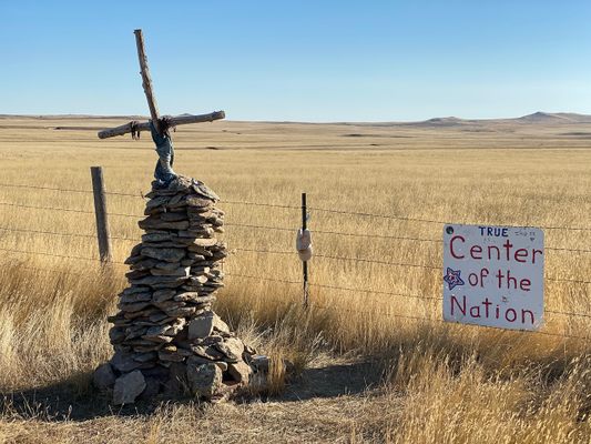
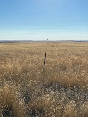
In an open field about 20 miles north of the more accessible Center of the Nation Monument, there is a small marker that indicates the actual center of the United States, as designated by the U.S. National Geodetic Survey.
Determining the center of an irregularly shaped land mass sitting on the curved surface of our planet is a difficult task. Coming up with an answer has posed a unique challenge for mathematicians and surveyors. It gets even more complicated when you add factor in pieces of territory that aren't connected to the main land mass. Before Alaska and Hawai'i officially became states in 1959, the center of the country was located in Lebanon, Kansas, where another monument is located just slightly off the official mark. The addition of two new states, each located many miles from the contiguous U.S., shifted the geographic center by some 200 miles.
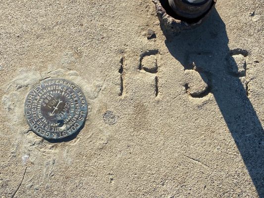
A small plaque marks the location determined by the U.S. National Geodetic Survey in 1959. It's in a private field with a gate that's usually unlocked; the owner seems to be happy to allow visitors. The location is a few miles off the nearest paved road, but is not a challenging drive.
Related Tags
Know Before You Go
This is on private land, but the owner seems to allow visitors.
Community Contributors
Added By
Published
February 23, 2024
