About
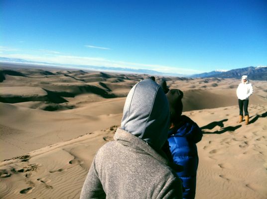
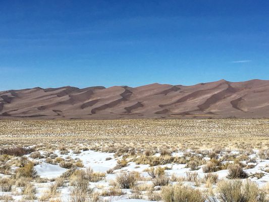
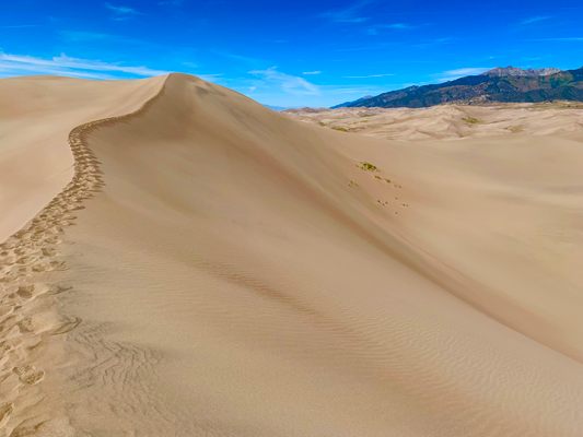
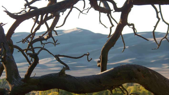
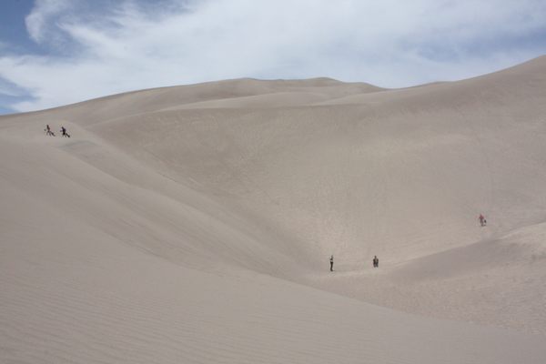
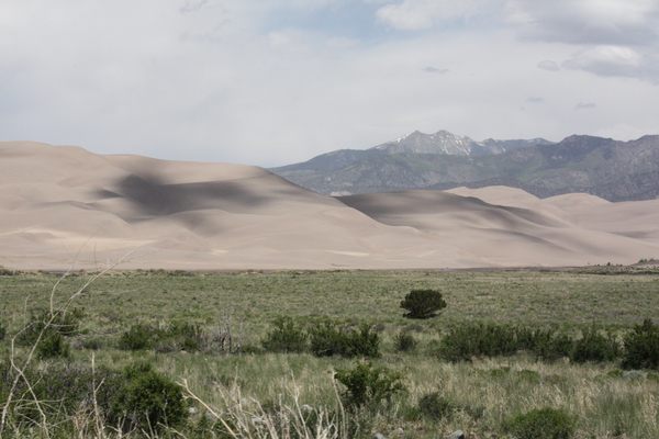
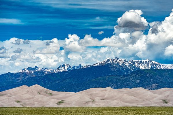
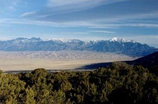
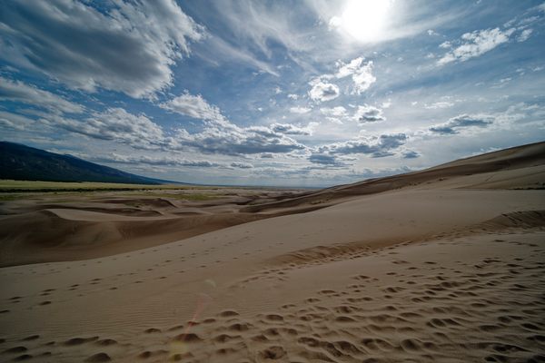
Over the last 440,000 years, the Great Sand Dunes have shifted and blown in gusts to heights of 750 feet, making them the largest dunes in North America. Besides the great beauty of the windswept ocean of sand, the arid landscape runs directly up to the feet of the Sangre de Cristo Range, a narrow strip of the Rocky Mountains.
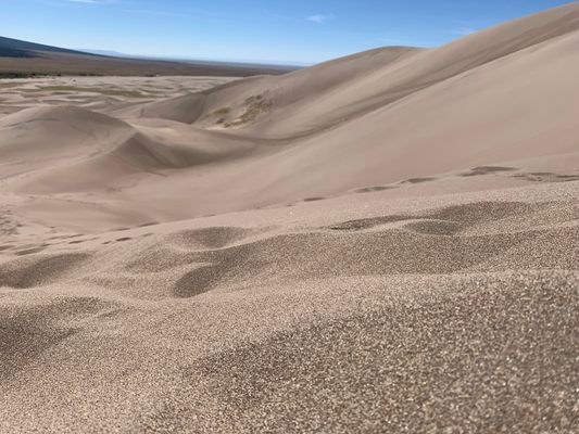
As the ecosystems collide near the dunes, the creation of the wondrous place can be perfectly summed up. Each part of the environment aided the creation of the sweeping dunes. The Great Sand Dunes lie in the flood plain of the Rio Grande and its tributaries. Over time, the river carried sand deposits into the area, and wind swept the sand to the base of the mountains, causing the dunes to rise out of the valley.
Since the dunes lie on the flood plain, just a few feet beneath the dry sand are precious water deposits, a rare commodity in the arid Southwest. In 2004, the area was made a national preserve, to protect the dunes and the water that lies just beneath the high desert surface.
Related Tags
Know Before You Go
From Denver, Colorado Springs, or Pueblo, the most common route is south on I-25 to Walsenburg, west on US 160, north on State Highway 150. For a more mountainous drive from Denver (same mileage as the I-25 route), you may also take US 285 south, then State Highway 17 south, then County Lane 6 east from Mosca. From Albuquerque, drive north on I-25 to Santa Fe, then north on US 285 to Alamosa. From Alamosa, take either U.S. Highway 160 east and State Highway 150 north, or State Highway 17 north and County Lane 6 east from Mosca. If you would like to take the Medano Pass Primitive Road to get to Great Sand Dunes National Park, this road should not be attempted by any vehicle that is not 4WD, due to high clearance rocks/dips and water crossings. It is recommended to check the creek conditions before you make the drive. It is also recommended for some vehicles (those with regular road tires) to reduce air pressure to 20psi in each tire to navigate the sand. There is a place to refill your tires at the western entrance of the park at the welcome center.If leaving from Colorado Springs you will head due south on 25 until you reach Walsenburg. There you should fuel up and take highway 69 west to Gardner. Reset your odometer and drive approximately 8 miles west of Gardner on 69 and you will see a forest service sign with “Medano Pass Road” noted (County Road 559). The first 5 miles or so on the trail are mild dirt and gravel roads, rarely requiring 4WD, and passing near private property and national forest. The next 5 miles are a wooded trail with varying degree of incline, sharp turns, and narrow trail. The following 5-mile stretch was a road of less incline but more vegetation on the side of the trail. This is where there are some cutbacks across the creek and where you will start to see some of the camp sites.This is the most tedious portion of the trail due to the slow going and the high amount of traffic. At the end of this segment, there is a rest area with restrooms, and is where the sand portion (and last ~5-mile stretch) begins. The key to maneuvering through the sand is to keep your vehicle moving and not stopping on soft sand. There are great views of the dunes on this last portion of the trail and ends at the camping ground near the Great Sand Dune welcome center.Note that temperatures in the summer can reach 150F on the dunes due to the reflected heat of the sand. Extreme caution should be taken on hot days with no cloud cover.
Community Contributors
Added By
Published
December 1, 2011


