About
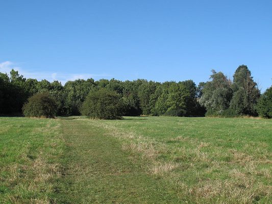
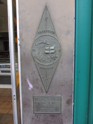
If you trace the Prime Meridian line from the North Pole heading south, the first landfall you'll make is along the eastern coast of England. Here, a 306-mile (493-kilometer) footpath is marked off following the Meridian line as closely as possible. Dubbed the Greenwich Meridian Trail, the long-distance walking trail follows the invisible geographic marker from the English Channel in Sussex northward to the east Yorkshire coast at Sand le Mere.
The walking trail passes through some of the most historic and beautiful parts of the country, and although not as physically demanding as many British long-distance footpaths, it does present a real challenge. While it sticks pretty close to the Prime Meridian, the designers of the trail have allowed it to deviate enough to take in interesting sights and beautiful views where they are available.
From south to north, the footpath starts at the Meridian Monument in Peacehaven West Sussex, crosses the chalk hills of the South Downs (don't miss the fantastic wall paintings in St Laurence Church as you pass through Telscombe) and the North Downs. It then passes into London, through Greenwich and under the Thames via the Greenwich foot tunnel.
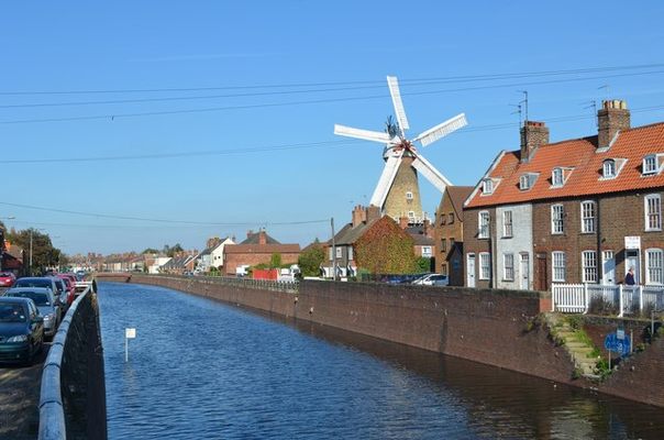
The trail goes through the historic Epping Forest then passes north through the Cambridgeshire Fens (where the Saxon rebel, Hereward the Wake, led an insurrection against the Norman invaders in the 11th century), into Lincolnshire, passing through historic Boston then back into chalk hills, through the magnificent Lincolnshire Wolds.
It then continues along to the coastal road called Meridian Road at Cleethorpes, where there is a visitor centre and an official break in the trail as the Meridian crosses the Humber estuary. The Humber estuary presents a barrier to walkers, but it's possible to walk or take a bus across the Humber Suspension Bridge (a long detour) or alternatively, charter a boat from Grimsby to Spurn Point (expensive and hard to organise). The trail starts again at Patrington, northwest of Spurn Point, and heads north skirting the attractive seaside town of Withernsea on the east coast to the terminus at Sand le Mere.
493 kilometers is the official length of the trail, but this ignores the detour imposed by the Humber estuary. The minimum distance to complete the entire route (going by boat to Spurn) is actually closer to 465 km or 289 miles. Interestingly, the coast at the northern terminus is also the fastest eroding coastline in Britain, and because of regular cliff collapses, the trail is gradually getting shorter.
Related Tags
Know Before You Go
The map coordinates mark the northern terminus of the Greenwich Meridian Trail at Sand le Mere.
Published
September 25, 2017


