


About
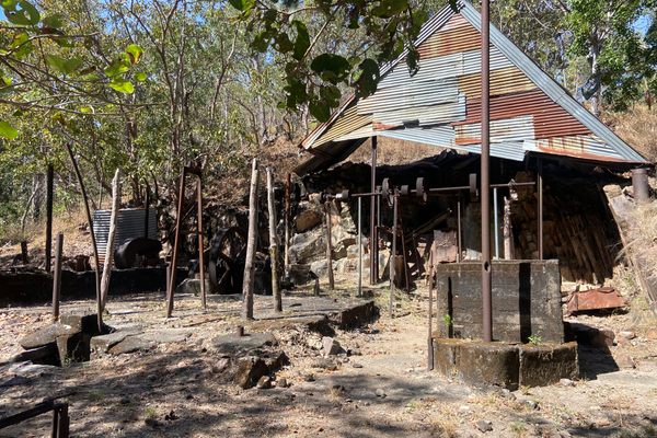
Brothers Homer and Verne Adams worked this mine beginning in about 1933. Production records are scanty, but the sheer scale of the operation indicates it enjoyed some degree of success. Operation presumably ceased in 1942 when gold mining was deemed inessential to the war effort.
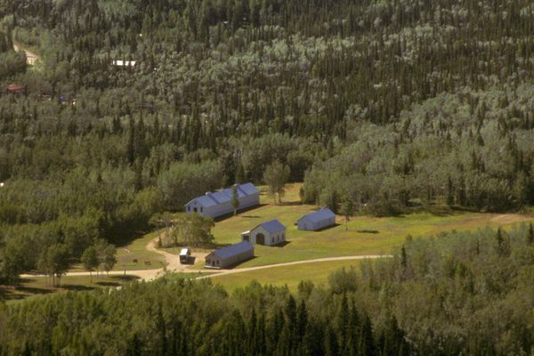
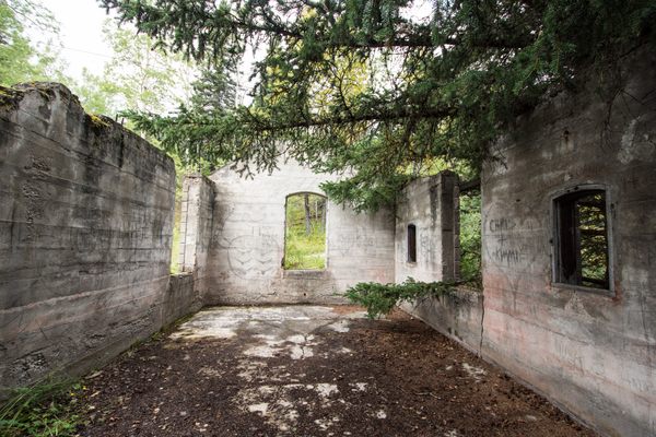
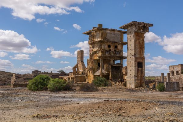
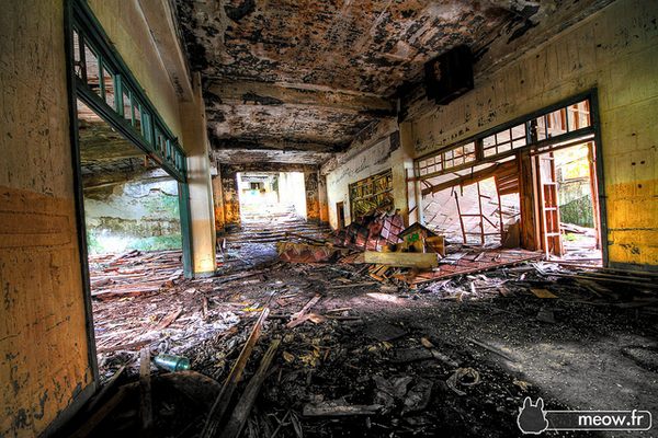
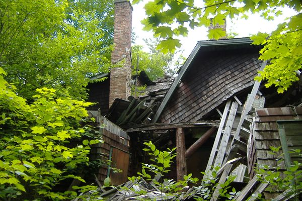
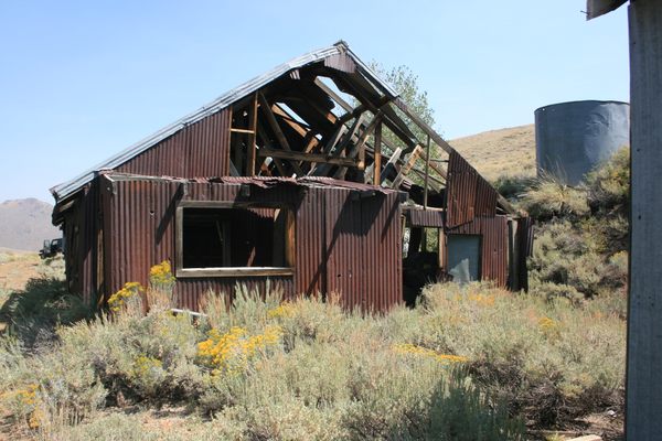
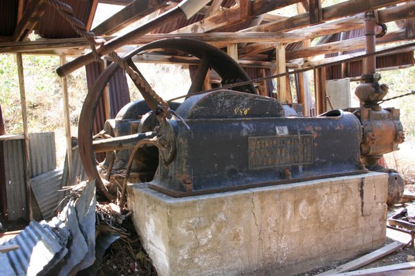
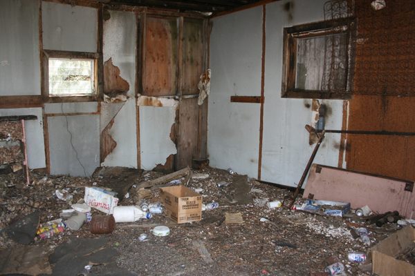
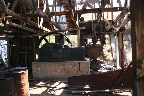
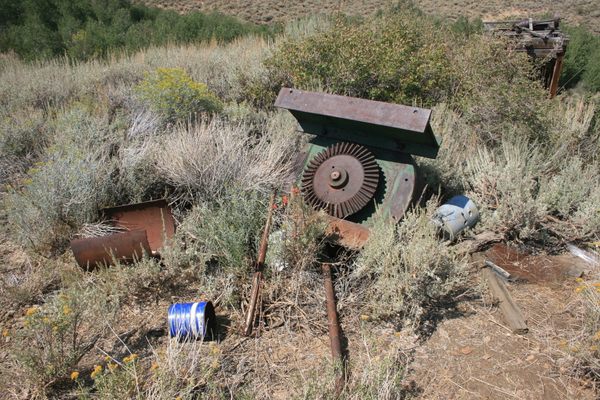
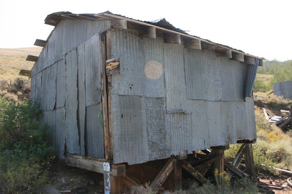
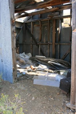
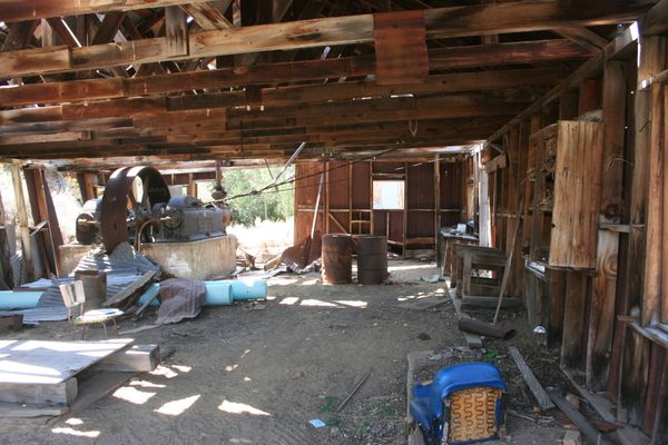
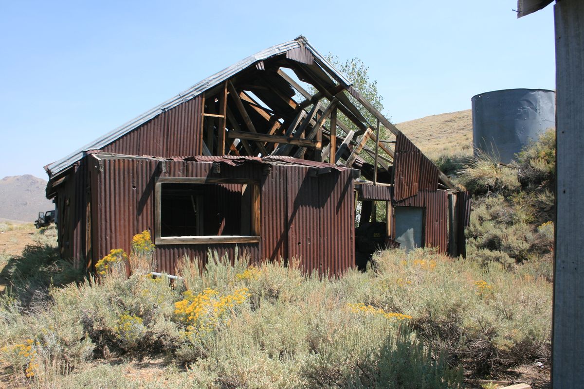
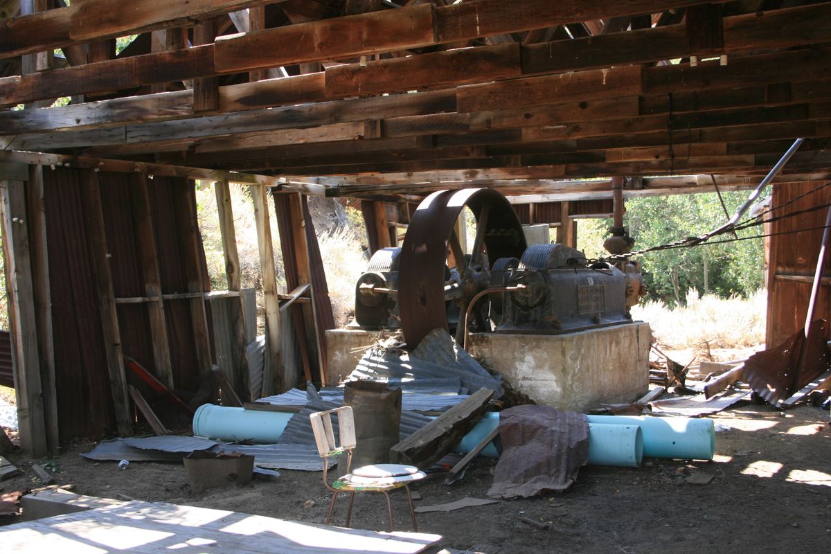
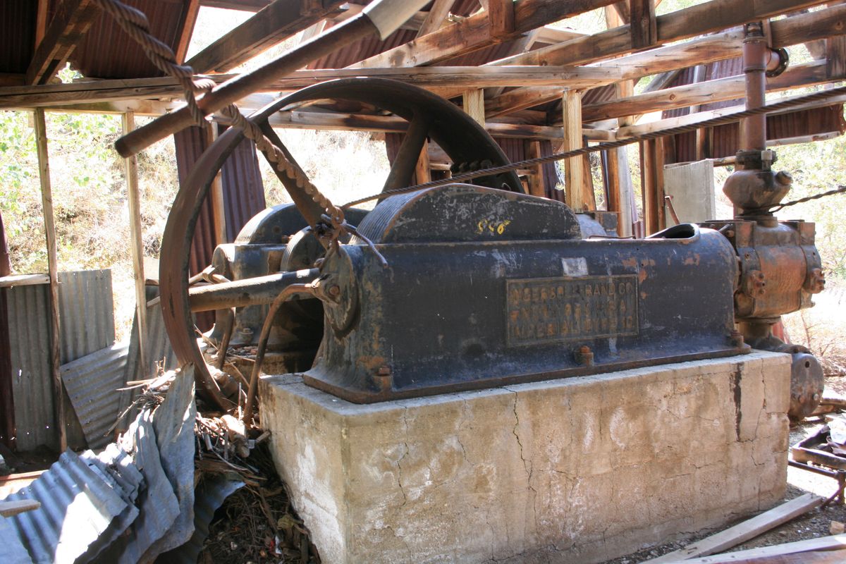
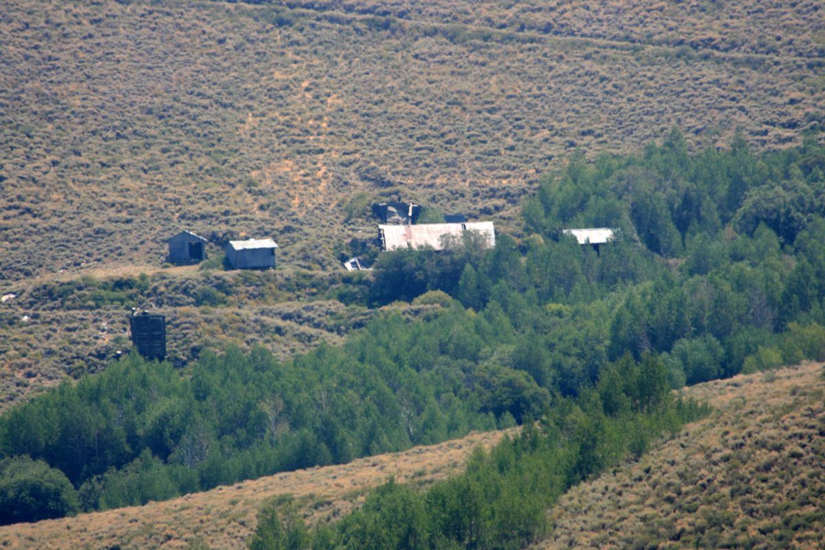
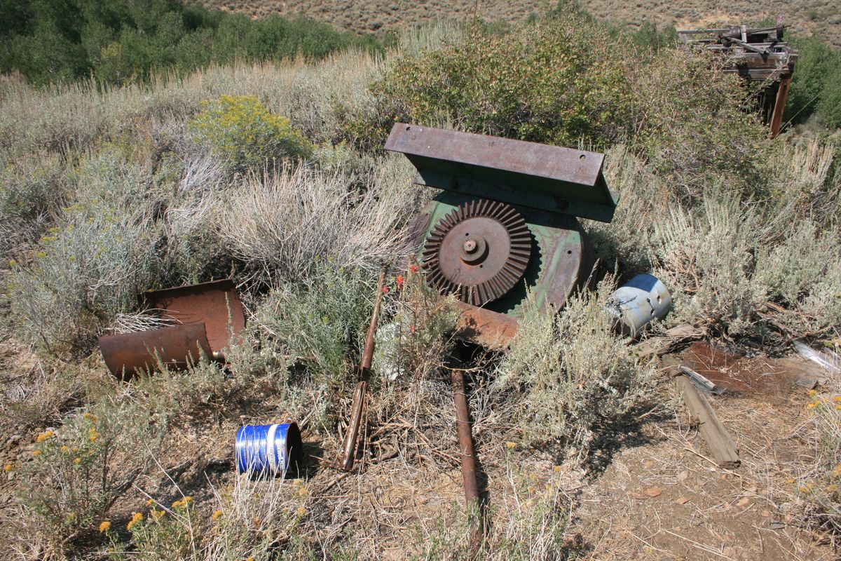
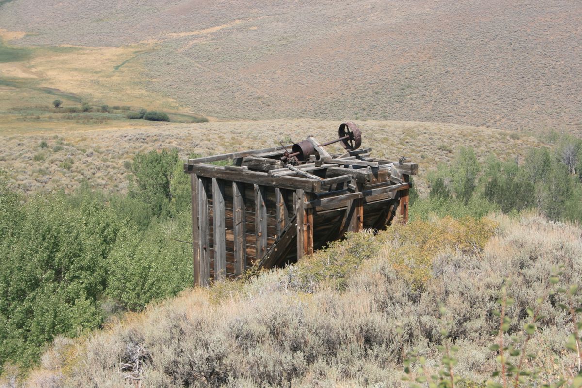
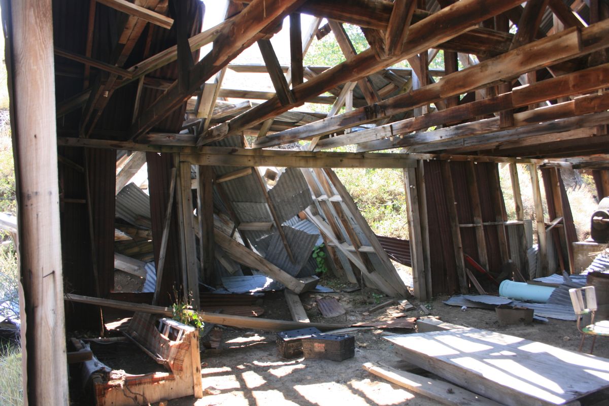
The preserved buildings include some equipment directly related to the mining, such as an ore hopper and miscellaneous machinery. One of the most remarkable machines is an enormous hoist mechanism, powered by a large Ingersoll-Rand diesel engine, in the cavernous hoist house. There are also living quarters. Given the remoteness of the area, especially almost a century ago, the miners had to live on-site.
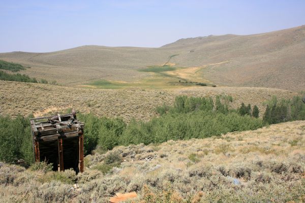
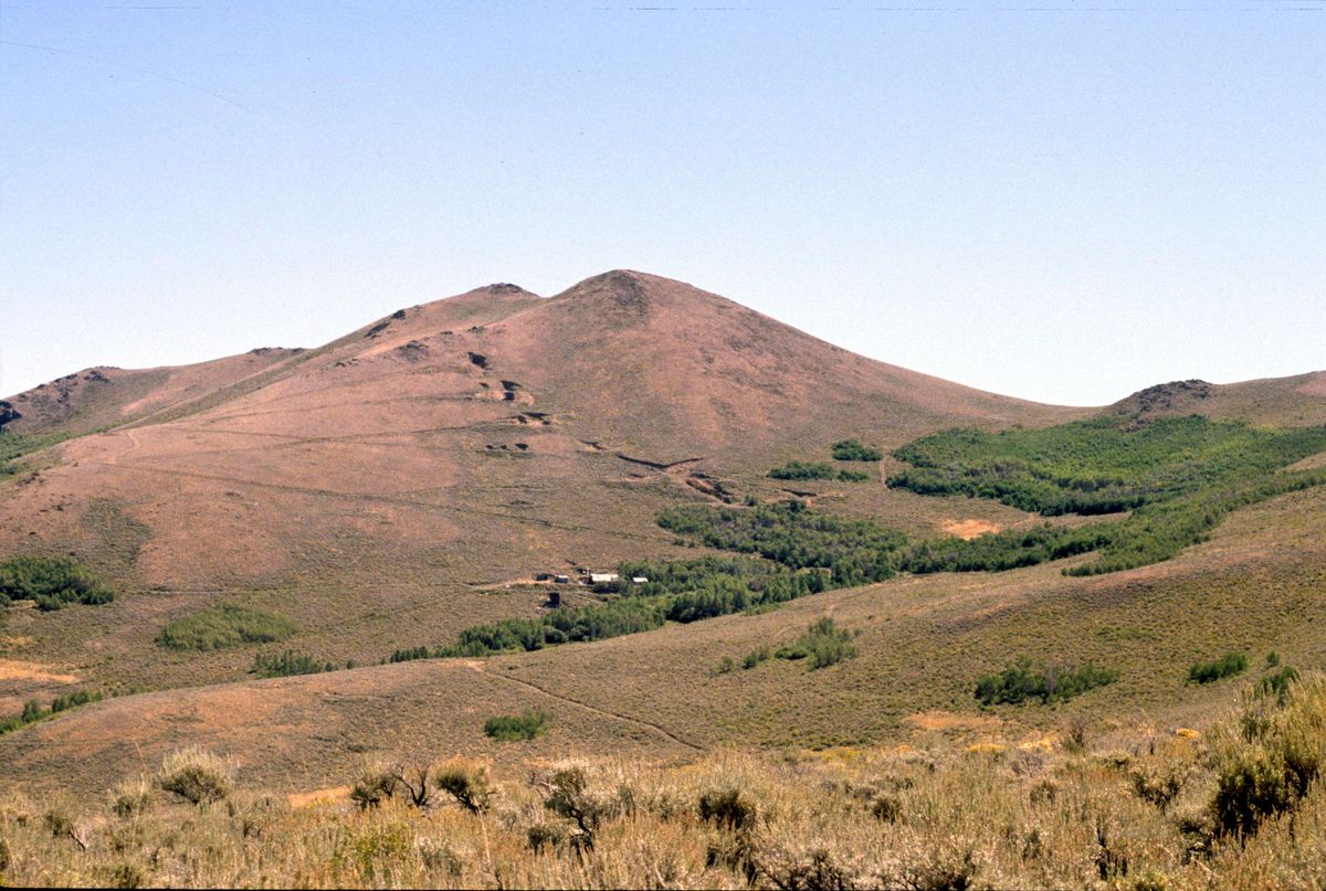
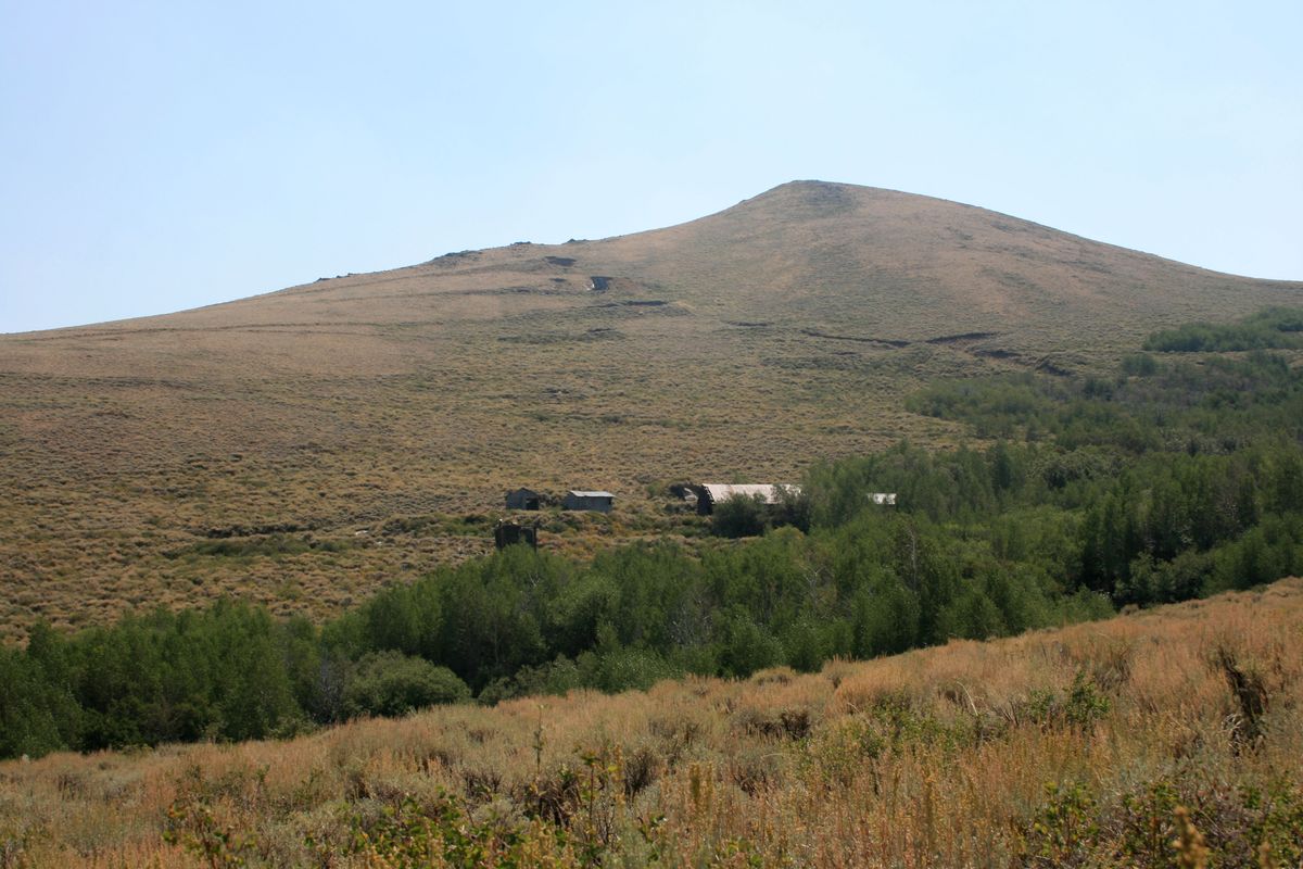
The orebody is described as a large gold-bearing quartz vein. This vein is roughly tabular in shape, such that it crops out in nearly a straight line up the hill behind the mine buildings. The excavations follow the mineralization, which accounts for their striking alignment as seen from a distance.
In the mid-1980s there was an attempt to reopen the mine, and some additional excavations were even carried out. However, the results must have been unpromising because no activity has occurred since.
Related Tags
Know Before You Go
To get to the mine take the Alta Creek Road west from its junction (near 41.75896 N, 118.54423 W) with Nevada State Route 140. This is a graded road, but it becomes very steep and rough where it turns south to climb out of Alta Canyon. High clearance and even 4wd will be required here.
After 11.5 miles you encounter a junction at about 41.73424 N, 118.6751 W. This is the turnoff to the mine, which is easily visible about a mile to the east (left) on a high point on the ridge. High clearance will most likely also be required on this access road. The mine buildings are at about 41.72502 N, 118.66357 W.
It is not advisable to enter the ruins, especially the enclosed ones, because of the risk of hantavirus from rodent droppings.
Community Contributors
Added By
Published
July 29, 2024