About
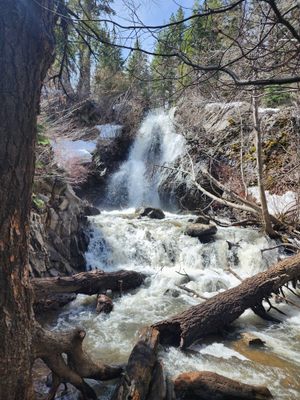
The Carson Range, the shoulder of the Sierra Nevada just west of Reno, Nevada, has peaks over 10,000 feet and is mostly contained in the Mt. Rose Wilderness Area. It provides unexpected opportunities for outdoor recreation near the urban area, and one such is the Hunter Creek Trail to Hunter Creek Falls.
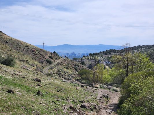
From the trailhead at the edge of a residential area, the trail initially follows an old Jeep road, entering the Mt. Rose Wilderness about a quarter-mile in just past a ford. The trail then stays on the south side of the creek. There’s little shade along this portion of the trail. About half-mile before the falls, the trail enters the forest in the creek bottom where there are a few more fords. All the fords should present no problem except maybe during early-season runoff in wet years.
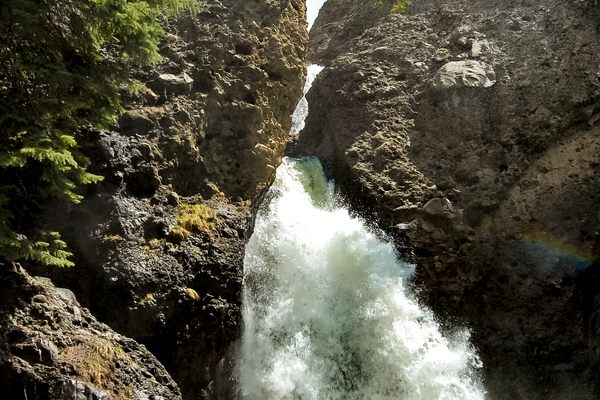
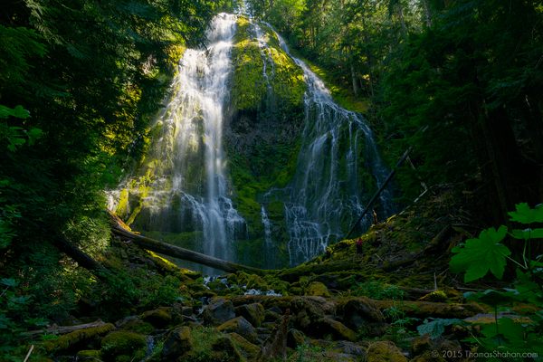
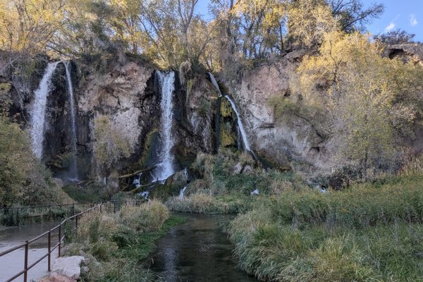
The falls, some 30 feet high, are located in the forest at the end of the well-marked trail. They're a little more than three miles from the edge of the wilderness area and the total elevation gain is a bit less than 1,200 feet. Hunter Creek is perennial but can dwindle to a trickle late in the season.
Related Tags
Know Before You Go
Take Interstate 80 west from downtown Reno to the North McCarran Blvd. exit. Go south 1.2 miles to Mayberry Drive, crossing the Truckee River.
Turn right here, and then in 1.3 miles turn left on Plateau Road. Plateau Road winds around and turns generally south. After 1.1 miles turn right on Woodchuck Circle and follow it to the obvious trailhead, complete with a paved parking lot and restrooms, above Hunter Creek.
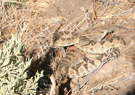
The trail will be busy, especially on weekends as it's popular with locals. Since nearly all the trail is in the Mt. Rose Wilderness, no motorized or mechanized devices are allowed, including bicycles, but dogs under restraint are OK. Finally, rattlesnakes occur in the area and will be active in the warm months. Beware of them but please don't disturb them; they're protected in the wilderness area.
Published
January 17, 2022

