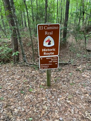


About
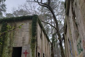
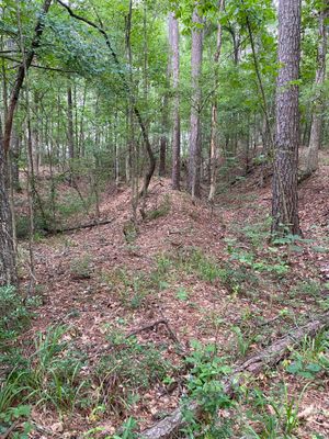
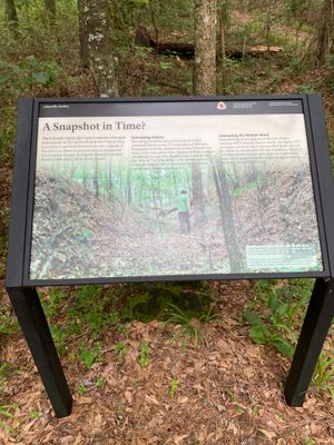
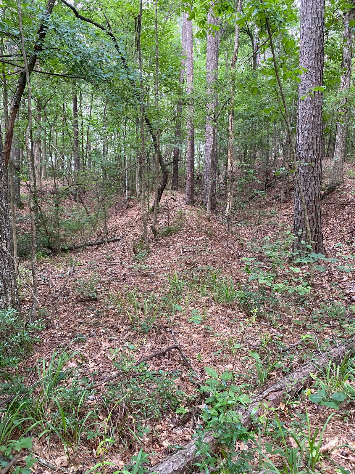
Lobanillo Swales is a site along El Camino Real de los Tejas National Historic Trail, preserving ruts dug out by wagon wheels over time—known as swales—on a historic road.
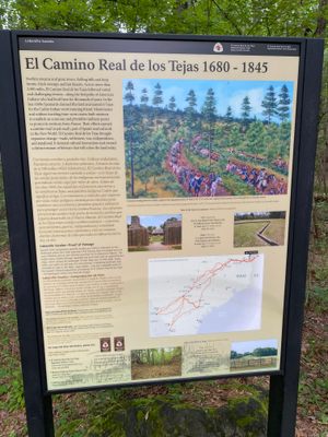
El Camino Real de los Tejas was a route established over centuries, allegedly following trails first established by Native Americans. As Spaniards colonized much of what is now the Southwest of the United States, as well as eastern Texas and parts of Louisiana, they began to establish caminos reales—or royal roads—between the capitals of their territories.
The trail was already in use before the first capital of the province of Tejas was established at Los Adams in 1729. The trail was traveled by Spanish explorer Alonso de Leon in 1689 as he hurried to confront the French explorer and trapper the Sieur de La Salle. La Salle was traveling through the region, but Leon and the Spanish wanted to prevent him from making claims to the region on behalf of France. The Real Camino de los Tejas was used over the years by Native communities, such as the Caddo and the Coushatta, by Anglo-American settlers and their slaves, by Spanish forces, Mexican forces, and Texan forces, especially during the Texas Revolution and related conflicts—such as the Fredonia Rebellion and the Rebellion of the Republic of the Rio Grande.
Today, State Highway 21 still marks the route of El Real Camino de los Tejas, following it for 300 miles between San Marcos and the Texas border. In areas like Lobanillo Swales, the worn-out ruts of wagon wheels can still be seen parallel to the paved road.
Related Tags
Know Before You Go
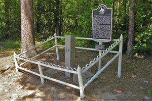
The site is located on private land, but it is accessible to the public for free. It consists of a small parking lot, interpretive signage, and a quarter-mile loop trail.
Community Contributors
Added By
Published
July 15, 2024