About
The Louisiana Purchase was completed under President Thomas Jefferson in 1803, nearly doubling the size of the country. It wasn't until 1815 however, that President James Madison ordered that the territory be surveyed
Two teams led by Prospect K. Robbins and Joseph C. Brown began surveying the north/south and the east/west lines. At the place where the lines intersected, they established the Fifth Principal Meridian, which served as a base for surveying the rest of the territory. The spot was inhospitable and located in the middle of a swamp.
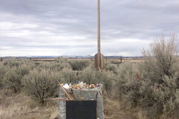
In time, the spot was forgotten until surveyors rediscovered it in 1921 from the presence of blazed trees. On the 111th anniversary of the establishment of the point in 1926, a dedication ceremony was held and a memorial stone was dedicated. The stone reads "This stone marks the base established November 10, 1815, from which the lands of the Louisiana Purchase were surveyed by United States engineers. The first survey from this point was made to satisfy the claims of the soldiers of the War of 1812 with land bounties."
Visitors to what is now a state park can view the marker by walking through the swamp on a boardwalk, under a mile roundtrip.
Related Tags
Know Before You Go
Madison, not Monroe, was president in 1815. If Monroe made the order, the date may be the error.
Published
November 23, 2021


