About
Determining the true center of a country or any geopolitical entity always comes with its problems and difficulties. If extreme points are located in faraway islands (like Hawai'i would be to the United States and, to a lesser degree, Isla de Guadalupe and Isla Mujeres are to Mexico), should these be taken into account when calculating the center? How about the territories of associated states? What happens when territory is lost to conflict? If the official center remains unchanged, is that a political statement?
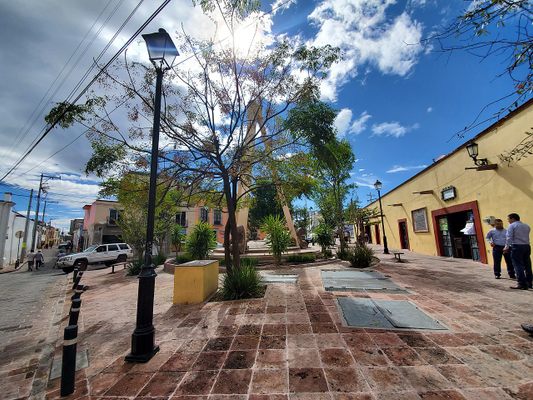
While finding the center of Mexico might not have to take into account all of these factors, it is still a complicated decision, one that then-President Venustiano Carranza thought he could settle for good in 1916. It was during this year that he declared that the Geographic Center of the country fell near the town of Tequisquiapan, Querétaro. The town would embrace the declaration, and by 1978, a plaque and monument would be installed to commemorate the title.
The monument consists of a sculpted silhouette of the country, with a large metal pendulum suspended above and pointing roughly at the location of Tequisquiapan. Places in other states such as neighboring Guanajuato and non-neighboring Aguascalientes have also tried to claim the title.
It is the mid-north of the state of Zacatecas that is considered the most likely contender, however. This of course makes the Tequisquiapan claim miss the mark significantly. To many locals, this is irrelevant since, as they say, they are the only ones with a monument and presidential decree to back their title.
Related Tags
Yucatan: Astronomy, Pyramids & Mayan Legends
Mayan legends, ancient craters, lost cities, and stunning constellations.
Book NowCommunity Contributors
Added By
Published
September 3, 2021


