About
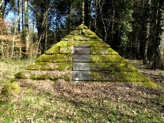
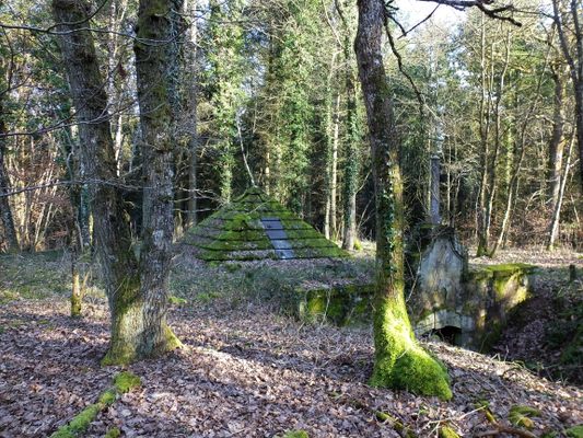
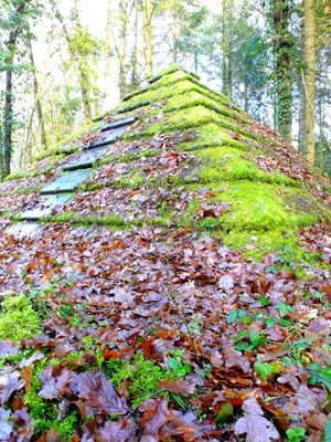
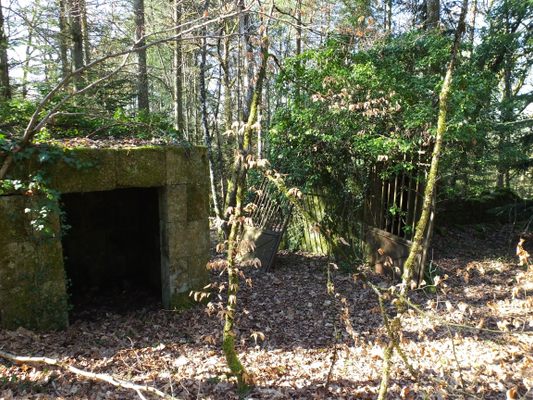
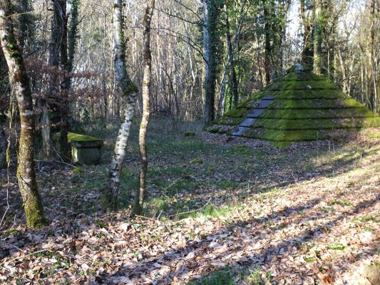
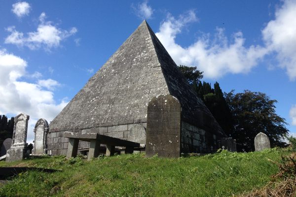
Happening across the strange pyramid in the woods of La Boulaye in the Saône-et-Loire Department of France, one wonders what it could be. As you get closer things only get stranger, as a large mausoleum, old tombstones, and an old gate appear. They are the ruins of the old village of La Boulaye.
La Boulaye was not always located where it is today. In 1894, Henri Adolphe-Eugène Schneider, the iron master of Le Creuset, bought the old castle of La Boulaye and transformed it into his hunting lodge. He did not want to share the area around his castle with the local people, so he suggested the small village of 320 people move some distance to the north. As reward for agreeing to move, he offered to build the village a school, town hall, train station, new church and a new cemetery. He even offered to move the corpses of the people in the graves if the families desired.
Mr. Schneider died in 1898. It was his son, Charles-Prosper-Eugène Schneider, who went through with the plan. At the beginning of the 20th century the villagers left their homes, the church and the graveyard to move to the new La Boulaye. The whole process was finished in 1905 and the hunting lodge of the Schneider Family owned all the land around the castle.
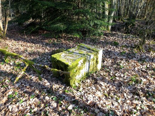
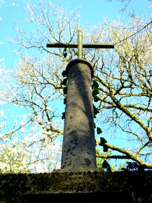
Many buildings from the old village have been demolished, though a few vestiges remain if you look closely. But the old cemetery is still there, now abandoned in the woods and overgrown in most places. A few ruins of the old wall still surround the place, the old gate still hangs spooky and crooked in it's hinges, and the occasional fallen tombstone can be found.
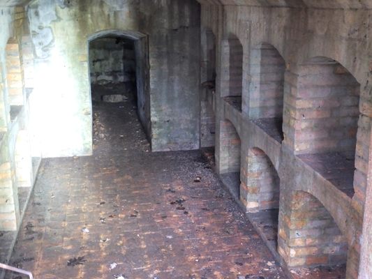
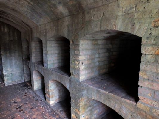
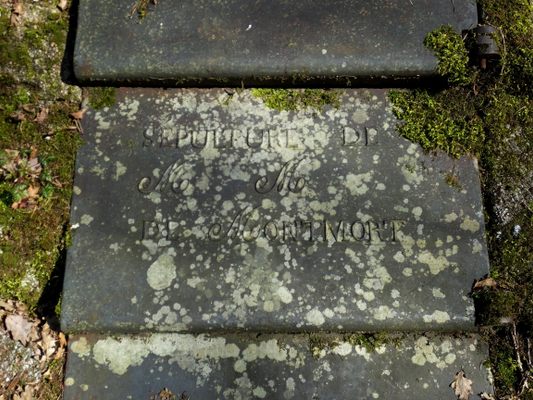
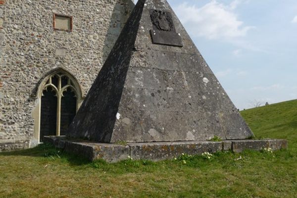
A strange alleyway leads to a large underground mausoleum with a strange domed ceiling. On top of the domed part of the mausoleum sits the pyramid, it's heavy iron doors secured with concrete. The inscription of one of the doors says: "Sepulture de M. et M. Montmort." The Montmort family were the original Seigneurs (Dukes) of La Boulaye for many centuries.
Related Tags
Know Before You Go
Exit the route D994, into new La Boulaye and keep going straight until you reach the woods. Go right then until you reach a small dirt road on the right. Here you can park the car. Follow the dirt road by foot about 300 meters until you reach a path into the woods on the right. Follow this path about another 300 meter until you reach a crossing of ways. Turn right into the overgrown way. After about 50 meters you will see the mausoleum and the pyramid on your right and the gate with the rest of the walls on your left. In between the old tombstones can be found. The coordinates of the pyramid are N46.739346, E4.138713. If you want to discover the mausoleum it will be wise to bring a flashlight. In the area is an 18th-century ice-cave found at (N 46° 44.186 E 4° 07.817), as well as an abandoned church and the remains of the old Château de La Boulaye (N 46° 44.311 E 4° 07.829) which was built in the 17th-century and destroyed by a fire in 1824. Only some walls remain on an island.
Published
November 1, 2016
Sources
- https://fr.wikipedia.org/wiki/La_Boulaye
- https://sites.google.com/site/communesmorvanbourgogne/laboulaye
- http://placeandsee.com/s?as=foto&fp=12942178
- http://lesamisdudardon.blogspot.fr/2012/03/assemblee-generale-des-amis-du-dardon.html
- https://www.geocaching.com/geocache/GC50Q23_decouvrir-la-boulaye-1-leglise-sainte-madeleine?guid=b5f5ae57-8eca-4729-84fc-8e16f84848ad
- https://www.geocaching.com/geocache/GC50QM1_decouvrir-la-boulaye-11-le-chateau-de-la-boulaye?guid=fa0c4186-31de-481c-a0bc-c65c431004be
- https://www.geocaching.com/geocache/GC50QCE_decouvrir-la-boulaye-6-lancien-cimetiere?guid=e8a9f815-5b85-4947-b7f4-53442061c593
