About
Why would anyone expend the resources simply to pump water up and let it run off a cliff, particularly lots of water? That seems at best quixotic and at worst gratuitously wasteful.
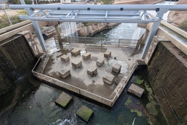
Well, it was unquestionably wasteful, but the costs were considered minor at the time. The falling water represents the distributary stream, the so-called Main Canal, for Banks Lake, the reservoir for the Columbia Basin (Irrigation) Project. Banks Lake is filled by water pumped up from the Columbia River by power from Grand Coulee Dam. As far as possible, the distribution system for the irrigation water exploited natural channels in the Channeled Scabland that covers much of this part of Washington. To that end, the main canal feeds into the channel that goes over this scarp, at what was the site of Scabland falls. Just letting the water fall off the cliff was a cheaper solution, compared with engineering a more efficient distribution infrastructure.
For decades Summer Falls just fell free, but a hydroelectric plant was finally—if belatedly—built in the early 1980s to recover most of the energy. After all, every drop going over the falls had been pumped up using power from Grand Coulee Dam, and the 1970s had brought a new awareness of energy costs.
One result, of course, is that by comparison to the old days the falls are now just a trickle. Even though the falls are now a shadow of their former selves, they remain interesting historically, as one consequence of a technological megaproject—and as an example of changing attitudes toward energy use.
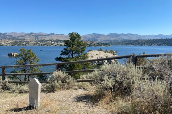
Especially in the old days, the currents below the falls were both strong and unpredictable, particularly as flow rates would vary due to irrigation demand. For that reason, this area is off-limits to swimming. There's a sad memorial to three teenagers who drowned here in the late 70s.
The name Summer Falls comes because it runs only during the growing season. There's no demand for water in the wintertime.
Related Tags
Know Before You Go
The falls are off Pinto Ridge Road, a paved highway that runs between US 2 at Coulee City and Washington SR 28, about halfway between Soap Lake and Wilson Creek. The turnoff is a bit closer to the highway 28 side. It's paved and runs down to a park at the falls, but is not open in the winter months. There's a separate road to the powerplant, but it's not open to the public, probably due to post 9/11 security measures.
Community Contributors
Added By
Published
December 1, 2021


