About
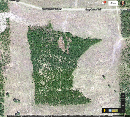
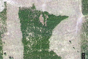
Only visible from the air, the carefully shaped copse of trees known simply as the "Minnesota Forest" has been shaped by a rogue forester over decades to look like its home state.
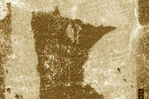
Created quietly by forest engineer Bill Lockner, the state-shaped forest was only recently discovered thanks to Google Maps aerial view for the everyman. While clearing dying pine trees in the early '90s Lockner took it upon himself to have a little fun, Forest Services-style. Using nothing more than a compass and other analog measurement tools, he was able to map out the shape of Minnesota in the trees and cleared out the dying growth only in the shape of the state. Photos from 1991 show a Minnesota-shaped hole in the surrounding forest.
Over the ensuing decades as the trees grew back, almost burying Lockner's art project as the surrounding forest blended in with it. Another round of clearing occurred in the 2000's, but this time the foresters cleared only the trees AROUND the Minnesota design, creating a smallish new forest that was shaped like the state as opposed to a clearing.
While Lockner modestly refuses to say much of anything about the Minnesota Forest, the whimsical grove has become a popular site on Google Maps.
Related Tags
Published
April 21, 2014
