About
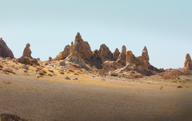
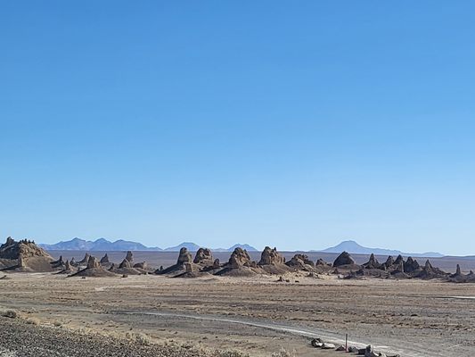
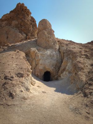
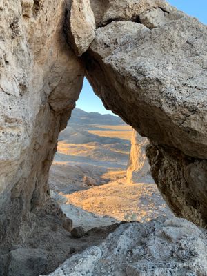
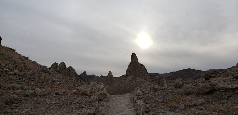
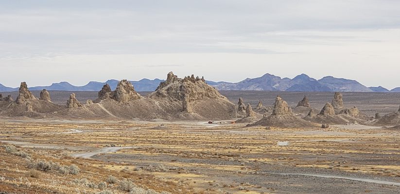
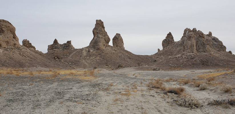
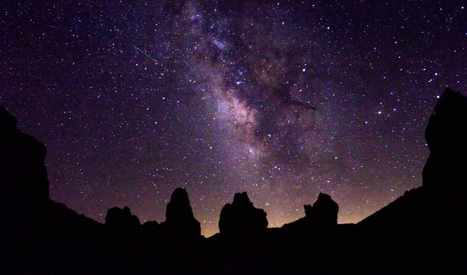
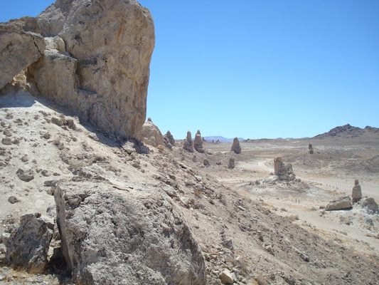
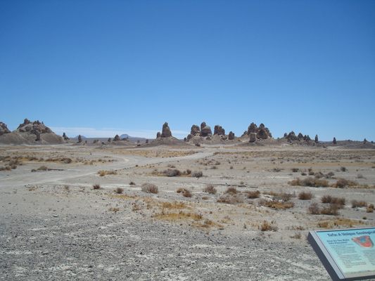
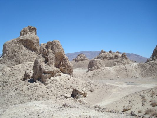
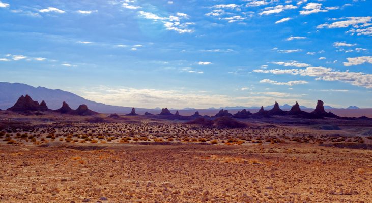
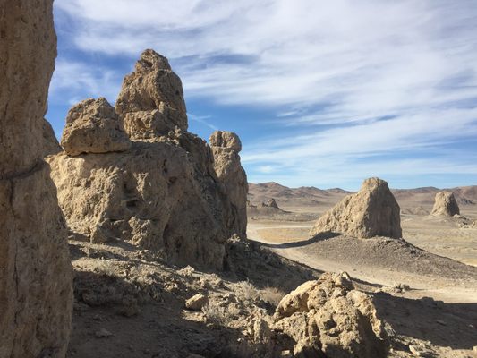
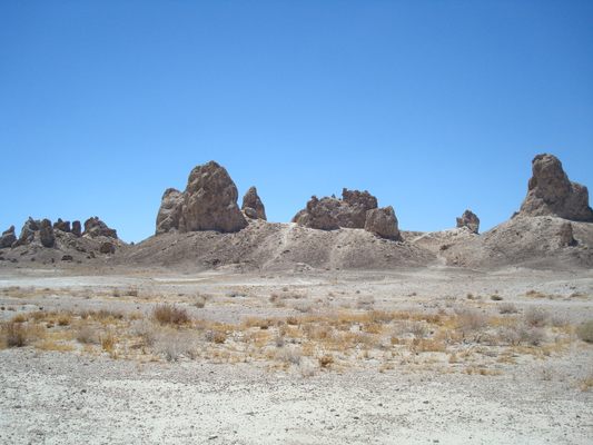
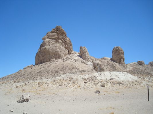
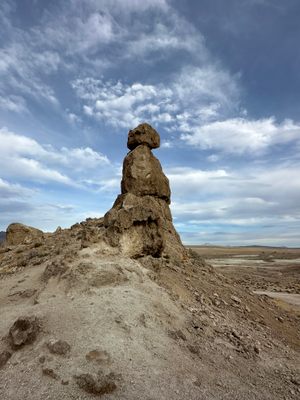
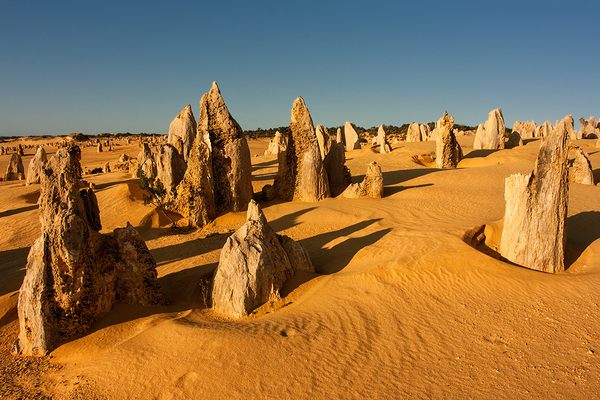
Known as one of the most unusual geologic wonders in the California Desert, the Trona Pinnacles are more than 500 tufa - they were formed with calcium carbonate - spires of rock that rise from the bed of the Searles Dry Lake basin. Formed underwater between 10,000 and 100,000 years ago, some of these spires reach to more than 140 feet.
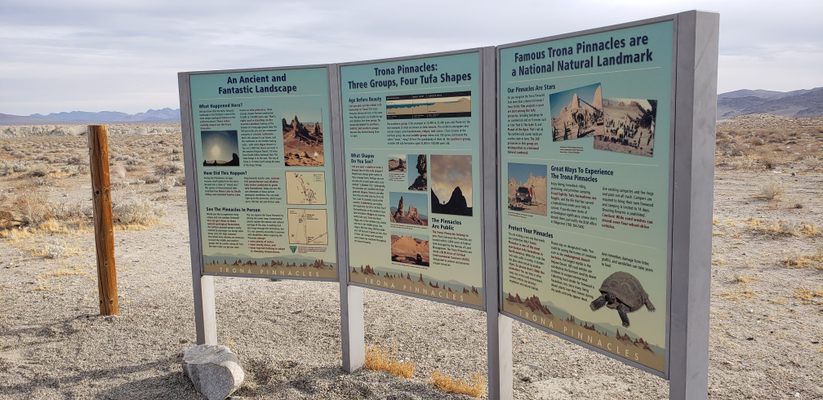
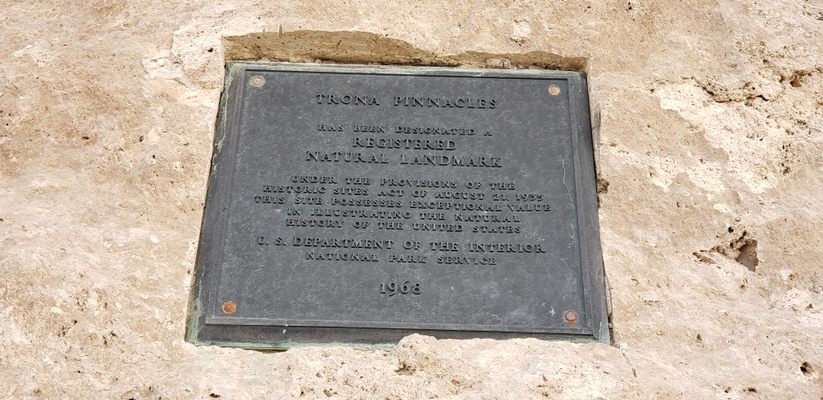
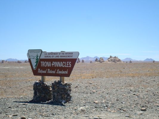
Designated a National Natural Landmark in 1968 by the Department of the Interior, the Pinnacles are recognizable to many people because they have been used as a filming location for more than a dozen hit movies, including Planet of the Apes and Star Trek.
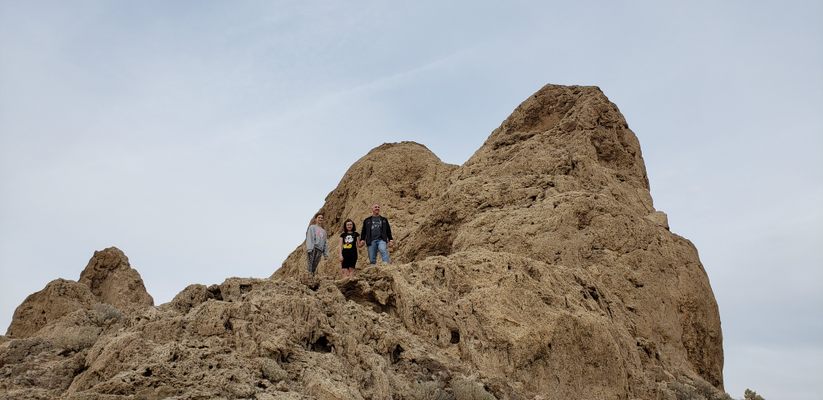
Once dubbed "Cathedral City," these ancient formations are classified into four general shapes: towers (taller than they are wide and at least 30 to 40 feet tall), tombstones (stubby and squat), ridges (massive, long sets of ruins), and cones (less than 10 feet tall).
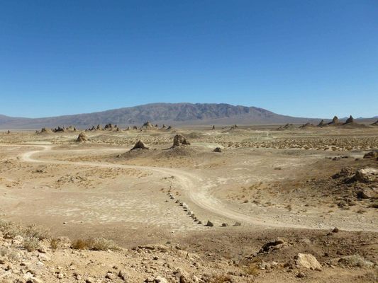
Primitive camping methods are permitted around the Trona Pinnacles, but campers are encouraged to use existing campsites and leave little to no trace of the time they spent there. Some hiking trails weave through the area, but sturdy boots are recommended as they are not maintained. Be warned: Other than one vault toilet in the main parking area, there are no services or facilities in the area.
Related Tags
Know Before You Go
There are two main ways to access the Trona Pinnacles. The best choice for casual visitors is to head along State Route 178 about 20 miles east of Ridgecrest, and just on the southwest edge of the town of Trona. There, a Bureau of Land Management sign will mark the turn-off onto Pinnacles Road/RM143, and the pinnacles themselves are almost exactly 5.0 miles to the south. Although this road is often passable by two-wheel-drive passenger vehicles, there may be washboarding, mud, and/or deep ruts on the road during wet weather, and the final parking area is beyond a gravel portion of the road that is situated on a steep incline.
A more challenging route for experienced off-highway drivers is to take Route 395 to either Trona Road or Searles Station Cutoff, and head north-northeast until reaching Pinnacles Road/RM143, and from there drive 20–25 miles east and northeast to the Pinnacles. Since there is an extensive network of dirt roads in the region marked only by wooden signposts, an up-to-date and detailed topographic map is strongly recommended. There is one vault toilet and no running water or camper/RV hookups in the main parking area. The nearest food, water, and fuel is available in the town of Trona. One of the town's two gas stations was heavily damaged in the July 2019 earthquake swarm, so only one gas station remains open as of 2020.
Community Contributors
Added By
Published
December 7, 2010
Sources
- Wikipedia: Trona Pinnacles: http://en.wikipedia.org/wiki/Trona_Pinnacles
- Desert USA: Exploring the Southwest: Trona Pinnacles, California BLM Area: http://www.desertusa.com/Thingstodo/ttdtrails/du_ttd_trona.html
- U.S. Department of the Interior: Bureau of Land Management: The Trina Pinnacles: http://www.blm.gov/ca/st/en/fo/ridgecrest/trona.html
