


About
In Bend, Oregon, you can find the ruins of Tumalo Dam, an early 20th-century irrigation project that never actually managed to hold water. Irrigation projects, under the rubric of "reclamation," were all the rage during the late 19th and early 20th centuries in the Western United States. A degree of federal support was furnished by the Carey Act (or Federal Desert Lands Act) of 1894, which provided a way to deed Federal lands to farmers if some percentage was irrigated. The program was to be overseen by the states and the details varied, but overall private companies were to build infrastructure and sell rights to land and water, with the Federal government finally transferring the land when sufficient irrigation had been established.
Tumalo (pronounced "TUM-uh-loh") Creek, a tributary of the Deschutes River west of Bend, Oregon, was an early focus of irrigation ventures. In a harbinger of things to come, around the turn of the last century, Three Sisters Irrigation Co. proposed diverting for irrigation far more water than actually flows in the creek. Promoter and scam artist William A. Laidlaw showed up in 1902 and incorporated all the previous ventures into the Columbia Southern Irrigation Co. The company platted the town of Laidlaw and began selling irrigation lands and theoretical water rights—despite how little infrastructure had been built. Some 18,000 acres had been sold by 1907, but only about a thousand were ever actually irrigated.
The company made off with some $475,000 (equivalent to about $13 million in 2015), of which Laidlaw personally kept some $116,000. The infuriated, and scammed, settlers hanged Laidlaw in effigy and later renamed the townsite "Tumalo" (as it remains today), but the money was never recovered.
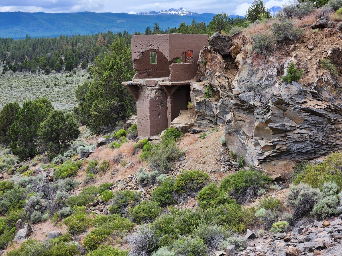
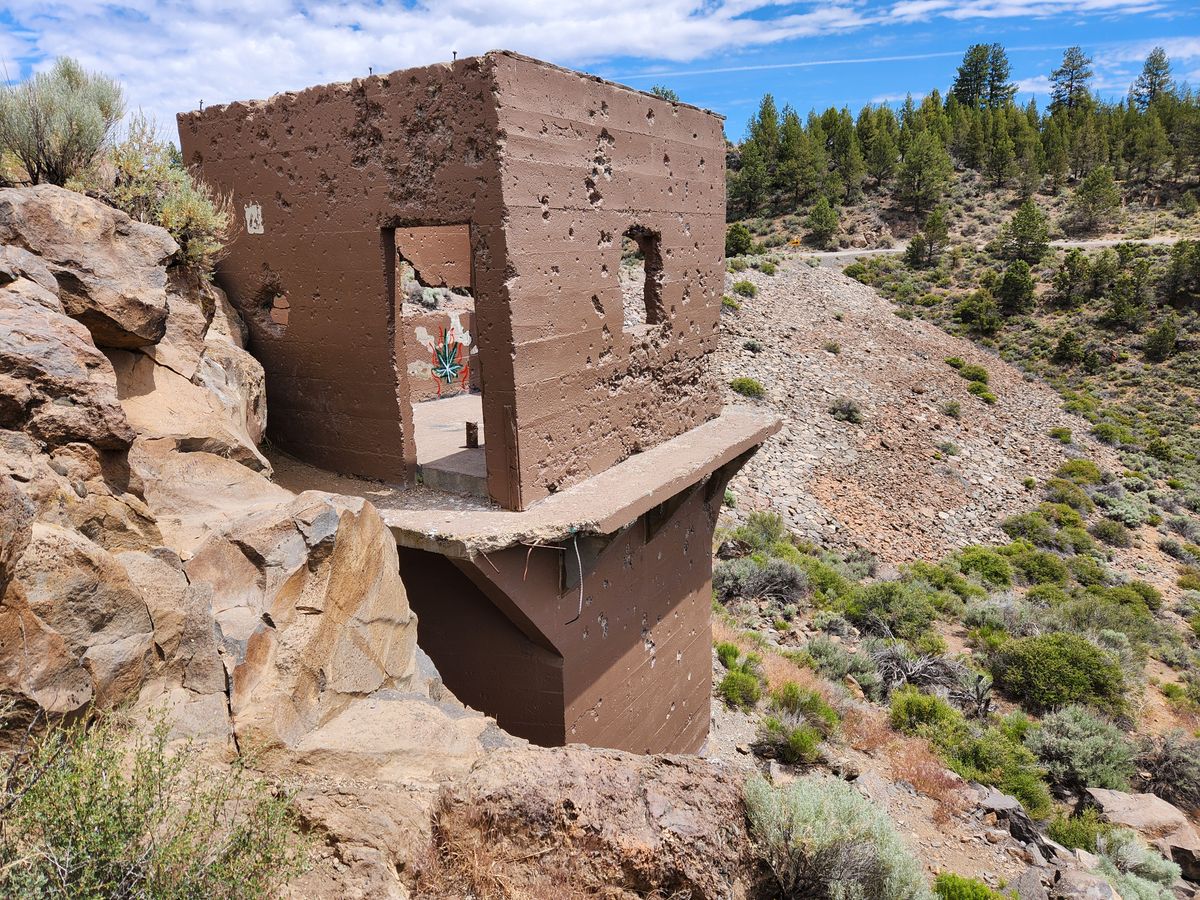
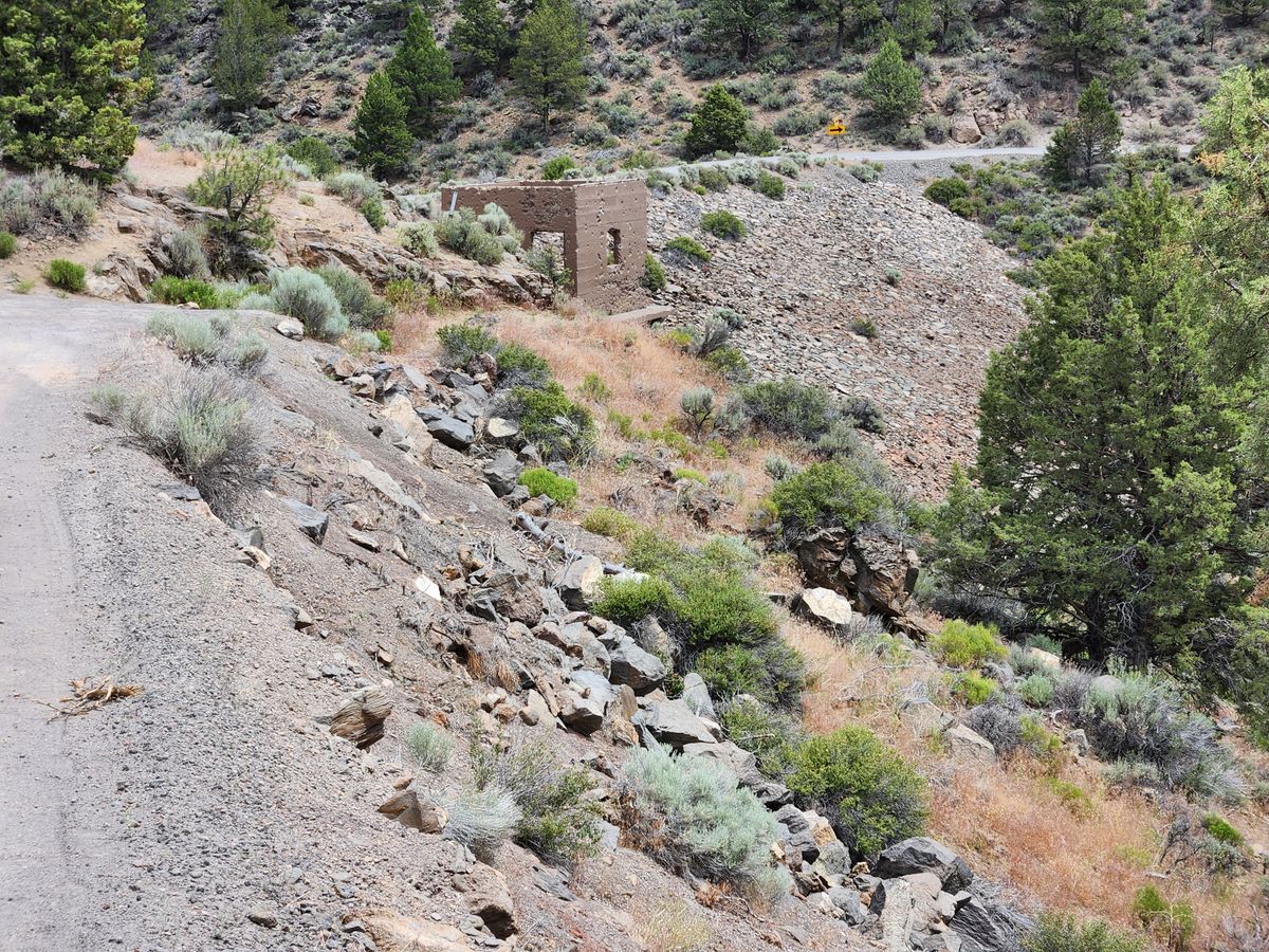
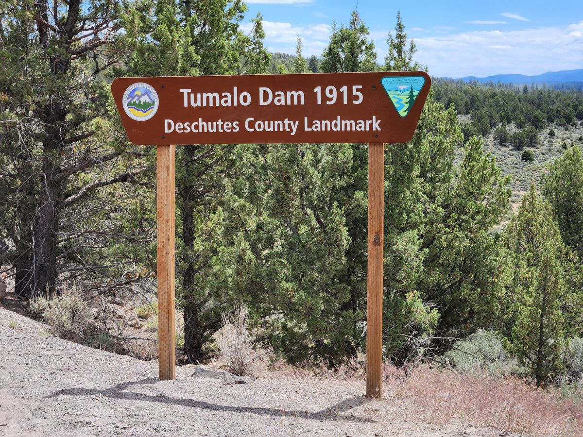
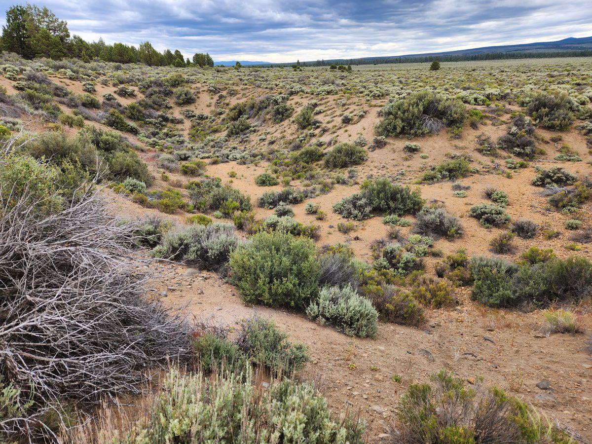
As the ultimately responsible party, the state of Oregon belatedly stepped in, with the Columbia Southern Act of February 1913, to redesign what was now called the Tumalo irrigation project. The centerpiece was to be Tumalo Dam, which would back up a reservoir over Bull Flat (which also was duly acquired by the state). A well-respected engineer, Olaf Laurgaard, was hired to design a dam and ancillary structures, which were constructed, on time and within budget, over the 18 months from June 1913 – December 1914. Most of the construction occurred from March onward, when hundreds of workers and draft animals built the Tumalo Dam. On December 5, 1914, with great fanfare, Oregon Governor Oswald West closed the sluice gates to begin filling the reservoir.
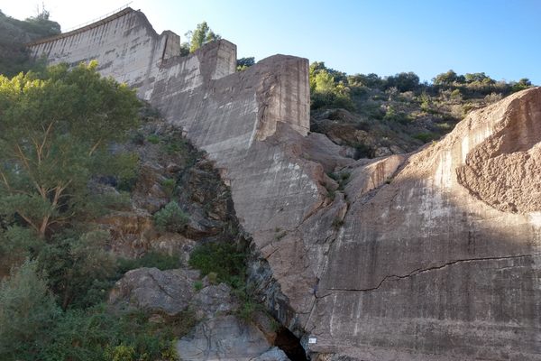
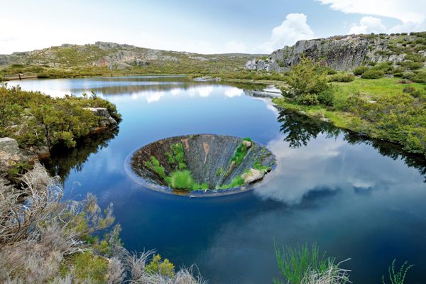
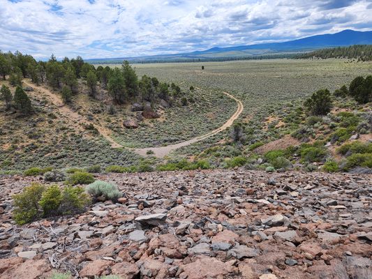
Tumalo Dam was well-designed, but in what would prove to be a catastrophic oversight, little attention had been paid to the rock underlying Bull Flat, the proposed reservoir floor. An early sign of trouble was that unexpectedly high leakage was already occurring during the filling, and the scale of the problem became obvious on April 9, 1915, when a group of schoolchildren noted a vortex spinning out in the water. The reservoir was draining away like a bathtub with its drainplug pulled. Frantic efforts to plug the leak were to no avail, and more leaks kept appearing. Attempts continued into the 1920s to salvage the reservoir, but the project was eventually acknowledged as a failure.
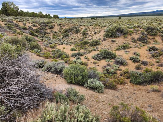
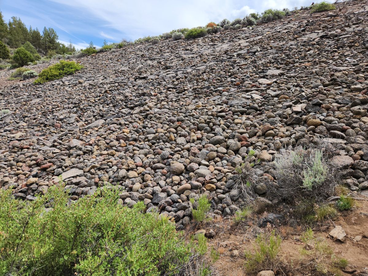
Later investigators would call the land underlying Bull Flat a "sponge." It consists of highly porous, fractured volcanic rock, and there is a major fault zone along the east side of the flat. The broken rock was capable of soaking up vastly more water than the volume of the reservoir, and there was no single point where it could be "plugged."
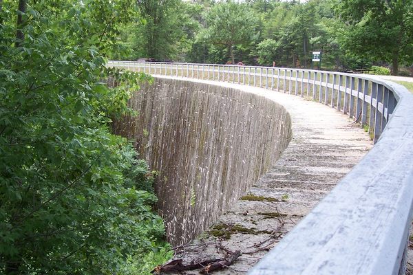
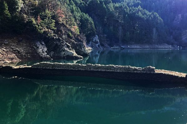
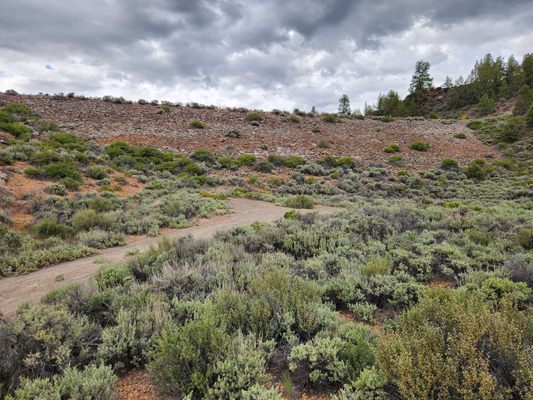
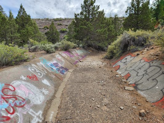
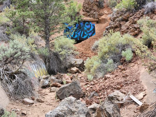
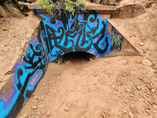
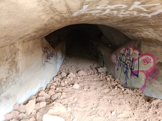
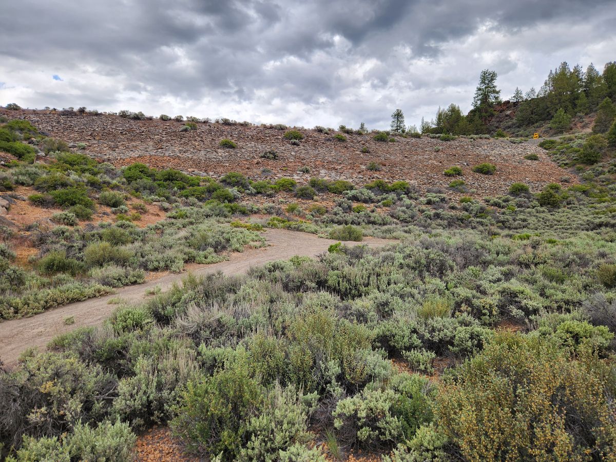
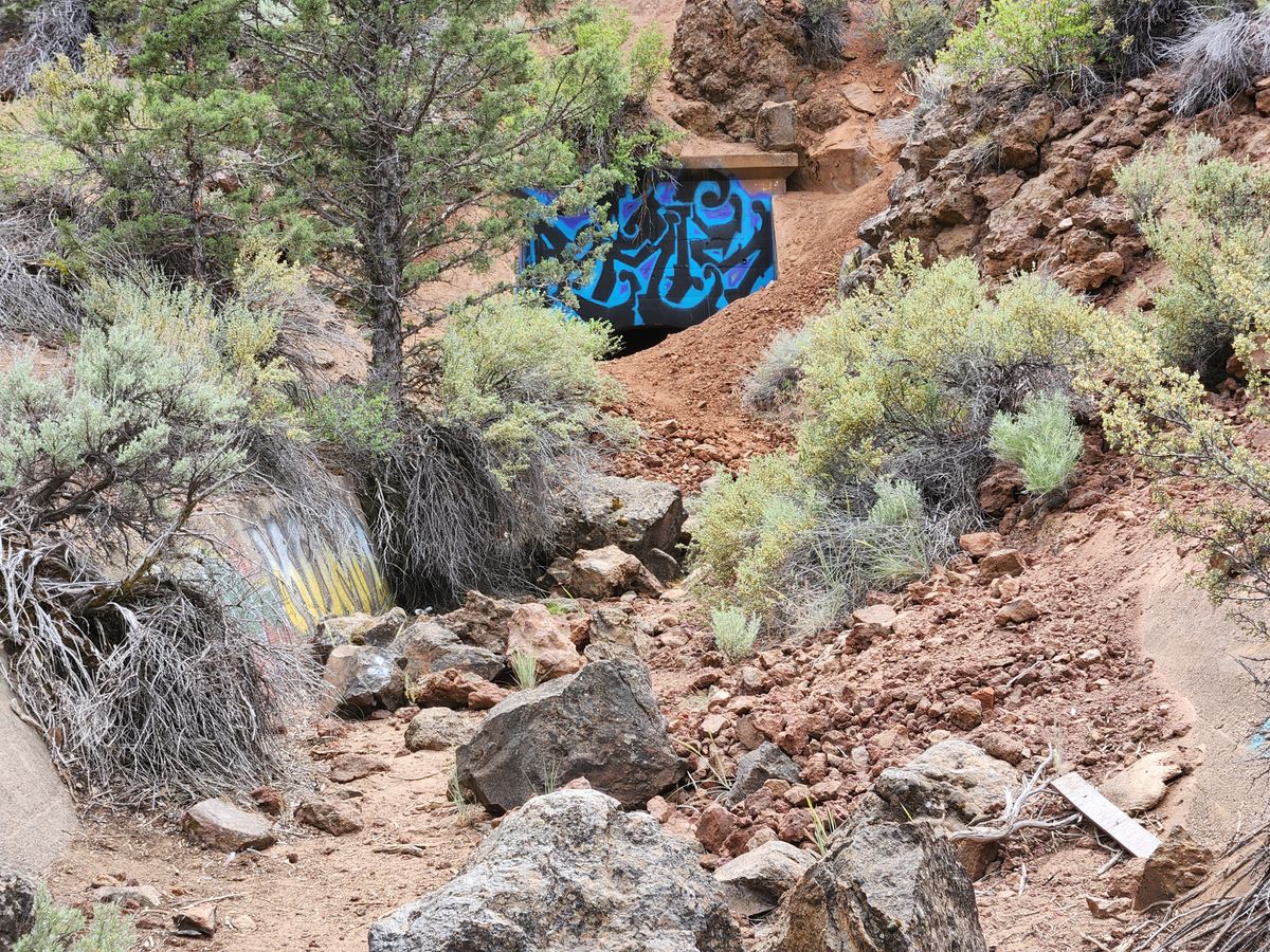
The Tumalo Irrigation District still exists and some lands are irrigated, but it is a shadow of what had been planned. Tumalo Dam also still exists, where it acts as an expensive bridge to carry Sisemore Road over Red Rock Canyon. It remains a poignant monument to broken dreams and wishful thinking.
Related Tags
Know Before You Go
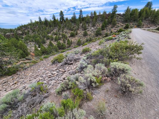
Tumalo Dam is easy to reach from US-20 northwest of the town of Tumalo. Go 2.4 miles from the roundabout at the intersection of O.B. Riley Road, in Tumalo, and turn left on Couch Market road. Go 3.5 miles to its intersection with Sisemore Road. Turn right here; Tumalo Dam is about 0.1 miles. There are lots of places to pull off the road to park.
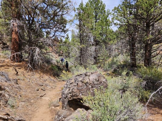
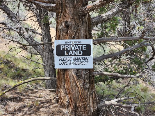
It's permitted to hike down Red Rock Canyon below the dam, but please be respectful: it's private land, as noted by the signs.
Community Contributors
Added By
Published
September 20, 2024
Sources
- https://www.bendbulletin.com/explore/take-a-hike-through-time-and-modern-ruins-at-tumalo-dam/article_010acf8e-86df-11ed-afa7-9346549247ae.html
- Winch, Martin T. Tumalo—Thirsty Land (in 6 parts), Oregon Historical Quarterly, Winter 1984-Winter 1986.
- Berry, Mike. The Dam Fiasco at Bull Flat, Archaeological Society of Central Oregon, presentation 12 May 2022. https://ascoinfo.net/event-4760588