About
The town of Frank in Alberta, Canada was a small 600 person, bucolic mining town. That is, of course, until a mountain fell on it.
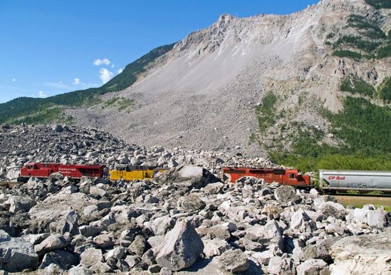
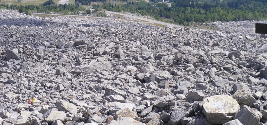
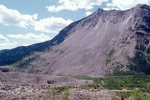
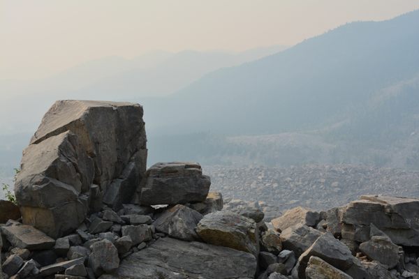
In the middle of the night on April 29th, 1903, a 3,280 foot wide, 1,400 foot high and 500 foot deep slab of rock seperated from Turtle Mountain and crashed down onto the town of Frank. It was the greatest landslide in North American history, and moved some 30 million cubic meters of limestone 2,300 feet down onto the town. The whole thing took roughly a minute and forty seconds.
Luckily for the town, the massive landslide landed mostly on the outskirts of town. Unluckily, about 100 people lived on the outskirts of town directly in the way of the landslide. More than 70 people were killed. Those who survived only did so through luck and random accident.
Among the tales of survival are that of Marion Leitch, a 15 month old who was thrown from her house by the massive air blast wave the landslide created, onto a pile of hay which the landslide had pushed there from a half mile away. Others included three young sisters who all survived though their parents did not, and coal miners who were trapped underground by the landslide. Rather then tunnel through the hard rubble, the miners tunneled for 14 hours through 29 feet of coal and limestone to reach the surface.
While the landslide was a great surprise to the townspeople, it was apparently not such a surprise to the local native American tribe who stayed away from the mountain and called it "the mountain that walks." Though the mountain was unstable to begin with, coal mining had exacerbated the problem leading to the landslide.
Immediately after the landslide Frank became something of a sensation and tourist destination, though by the 1920s most people outside of Canada had forgotten about it. The slide area was made a Provincial Historical Site in 1977 and in 1985 a "Frank Slide Interpretive Centre" was built in the town of Frank.
Though the town of Frank has grown considerably since 1903, the south part of the original town is still kept permanently empty as that area is still under threat from another Turtle mountain collapse. The mountain itself is monitored by the Turtle Mountain Monitoring Project & Field Laboratory.
Related Tags
Know Before You Go
The site is located 3 hours southwest of Calgary near Blairmore, Alberta. Easily accessible from Highway 3.
Community Contributors
Published
January 18, 2010
Sources
- http://www.frankslide.com
- Mike Bovis, University of British Columbia, 2002; Info: http://gsc.nrcan.gc.ca/landslides/clp/interactive_maps_e.php
- http://en.wikipedia.org/wiki/Frank_Slide
- http://www3.sympatico.ca/goweezer/canada/frank3.htm
- http://www.collectionscanada.gc.ca/sos/002028-2300-e.html?PHPSESSID=gjc8q31s0iq0rurk1v815uqg66
- http://www.frankslide.com/
- http://www.ags.gov.ab.ca/geohazards/turtle_mountain/turtle_mountain.html
