About
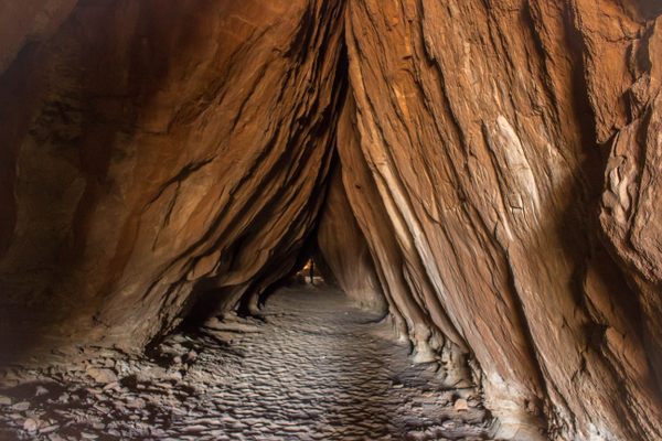
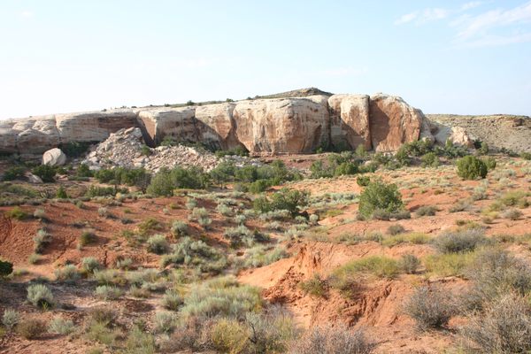
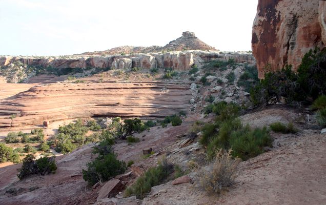
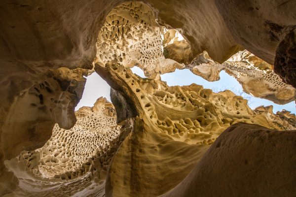
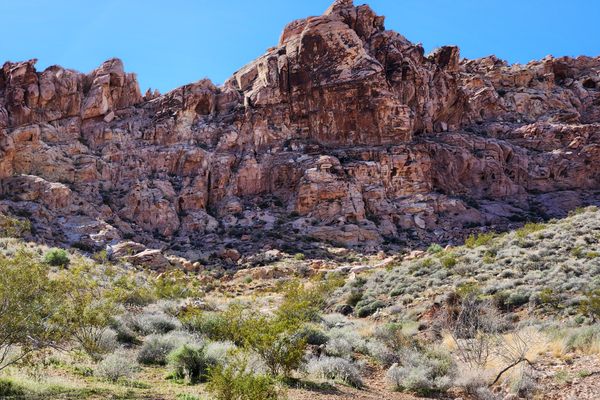
Tusher Tunnel is a crack that extends vertically through one of the sandstone units, the Slickrock Member of the Entrada Sandstone, that caps a ridge outside of Moab, Utah. Despite the name, it isn't strictly a "tunnel" because it's open at the top. Nevertheless, the crack is wider at the bottom, such that it effectively provides a tunnel through the sandstone ridge because the flared part is tall enough to stand up in.
The feature formed as water coming down through the crack was forced laterally on encountering an underlying impermeable layer, so that the lateral flow eroded the basal part of the crack into the flared cross-section. The tunnel is about 83 feet (25 m) long and is a popular trail destination, particularly for commercial ATV tours.
Related Tags
Know Before You Go
Take Mill Canyon Road west from its intersection with US-191 at 38.727118 N, 109.722634 W, about 4.4 miles north of the intersection with Utah State Route 313. Proceed 0.6 miles to BLM (Bureau of Land Management) Road 343 and turn right (junction at 38.725525 N, 109.732192 W). Then go 2.0 miles to an intersection at 38.719465 N, 109.762490 W. Turn left here and immediately bear right on the Tusher Tunnel Road, which heads off diagonally. Don't keep going straight, which is the Sevenmile Rim Safari Route. Stay on the Tusher Tunnel Road, which will bend right at an intersection at 38.713121 N, 109.771865 W in 0.7 miles. Continue another 0.5 mile, where there is a turnoff to the left (south) to the trailhead in about 1/4 mile. This intersection is at 38.713590 N, 109.780598 W.
Alternatively, you can stay on BLM 343 to its intersection with BLM 341, the Barlett Wash road (38.727753 N, 109.775072 W). Turn left here and proceed 0.2 miles to an unmarked dirt road coming in at a shallow angle on the left at 38.725974 N, 109.77148 W. Turn left here and go 0.9 miles to the west intersection (at 38.714317 N, 109.781209 W) with the Tusher Tunnel Road. Turn left here and go about 100 yards to the intersection with the trailhead road.
Which route is easier will depend on local conditions—mostly the vagaries of the last few storms! In any case, although ordinary passenger cars can probably go on Mill Canyon Road till the intersection with BLM 343, proceeding all the way to the trailhead will most likely require high clearance and 4-wheel drive. Parties without such capability can park and hike when the road conditions get too dicey.
Published
February 8, 2022
