About
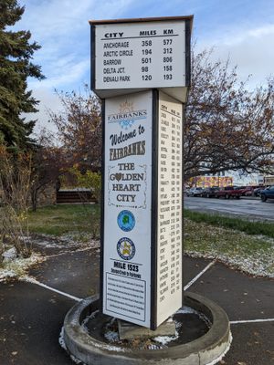
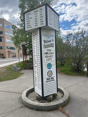
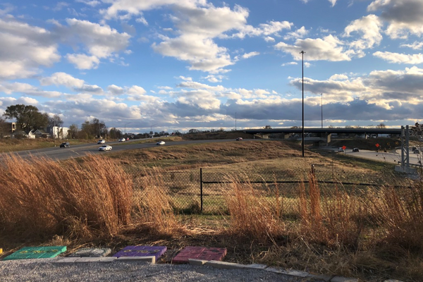
Near the Cushman Street Bridge in Fairbanks, Alaska, a small mile marker denotes the unofficial end of the Alaska Highway. The official end of the highway is in Delta Junction, some 95 miles southeast of Fairbanks. Nonetheless, milepost 1523 is the last marker along the World War II-era highway.
The Alaska Highway begins at Dawson Creek in British Columbia, Canada. From there, the 1,400-mile-long highway snakes northwest through Canada to Alaska. Despite its name, the majority of the roadway is actually in Canada.
Construction on what became known as the Alaska Highway began in March 1942, around 90 days after the bombing of Pearl Harbor. While the plan for a road to make Alaska more accessible to the continental United States had been in the works since 1929, it was the US's entry into World War II that finally initiated construction. Alaska was seen as a key place to defend the continental USA from the threat of a Japanese mainland invasion.
In June, Japanese forces bombed Dutch Harbor in Alaska’s Aleutian Islands. The attack added more urgency to the need for an unbreakable connection between the mainland USA and the many American military bases and operations in Alaska, which was then a US territory.
Through a superhuman effort of engineering and brute force, some 11,000 soldiers from the US Corps of Engineers and many more thousands of American and Canadian civilian contractors managed to complete a “pioneer” version of the road by November 1942. In the rush to complete the project, several dozen men died building the highway.
Despite a widely-distributed photograph of a Black soldier and white soldier shaking hands when their two ends of the highway met atop a summit in late October, the 3,500 Black soldiers suffered the very worst conditions while building the highway.
The Nazi regime had predicted it would take years for the road to be built, but the highway opened for US military use in just eight months. But by the time the highway was completed, the US had already regained control of the Aleutians from the Japanese, and fears of a Japanese invasion had diminished.
The highway eventually opened to the public in 1948. Today, there are only a few monuments and memorials along the highway, which was originally several hundred miles longer than it is today. Continual straightening, rerouting, and reconstruction have reduced its length to just under 1,400 miles.
While the milepost at Fairbanks is somewhat of a misnomer, it stands as a testament to the many individuals that carved a road out of the dense Alaskan wilderness.
Related Tags
Know Before You Go
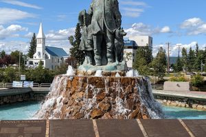
Near the milepost is the only public monument to the Lend-Lease Scheme, a vital wartime aerial effort between the US and Russia based in Fairbanks.
Published
February 10, 2023
Sources
- https://www.pbs.org/wgbh/americanexperience/features/alaska-ferry/#:~:text=In%20all%2C%20an%20estimated%2030,ferry%20disaster%20at%20Charlie%20Lake.
- https://www.blackpast.org/african-american-history/construction-alaska-highway-1942-role-race-far-north/
- https://dot.alaska.gov/nreg/akhwy75/akhwy75.shtml
- https://pocketsights.com/tours/place/Milepost-Circle-35577:4141


