About
Sixty years before Lewis and Clark, there were the Vérendryes.
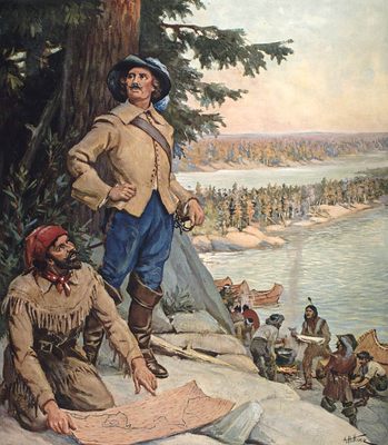
Born in 1685, Pierre Gaultier de Varennes et de La Vérendrye started exploring the Americas fairly late in his life. From 1731 to 1737, he set up trading posts around what would be the Canadian-American border. In 1738, he and his son Francois went to North Dakota, building forts along the way, furthering France's reach.
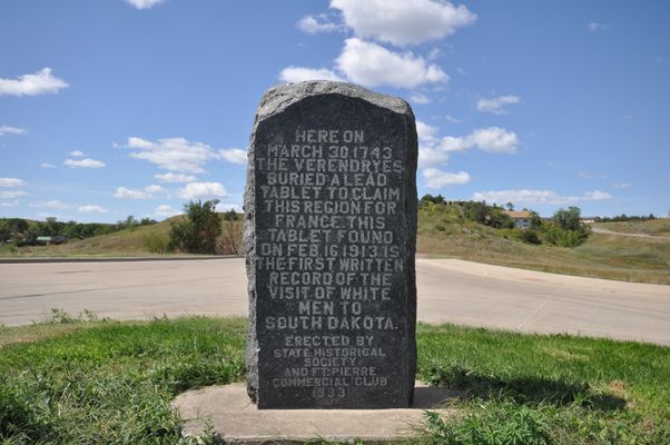
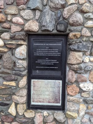
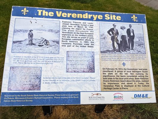
In 1742, two of his sons, Louis-Joseph and Francois, started making their way to the Missouri River. It's possible they were the first Europeans to see the Rocky Mountains. In 1743, in Arikara territory, they put down a lead plate that declared French sovereignty over the surrounding area. At the time, the mission seemed like a failure because they didn't find the Northwest Passage.
In 1913, children were playing when they saw something black poke out of the ground. They tugged it out and almost got it melted down in a print shop when a historian was called. He saved the plate and got it to the South Dakota State Historical Society, where it still lies today.
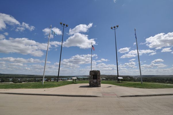
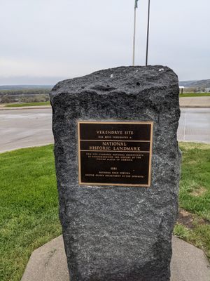
A monument was built in 1933 over the site where the plate was found. It was added to the National Register of Historic Places in 1974 and declared a National Historic Landmark in 1991. It's a reminder of the pioneering Frenchmen that the world forgot.
Related Tags
Know Before You Go
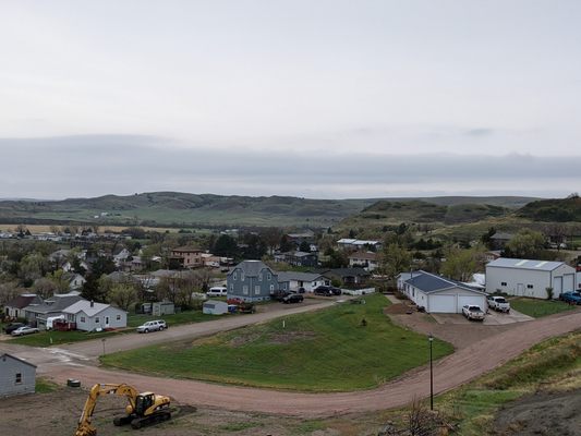
The monument is located at the top of a hill in the town of Fort Pierre. From Second Avenue, turn right on Verendrye Drive and it is off to the left. The original plate that was buried here is now on display at the South Dakota Cultural Heritage Center in Pierre.
Published
December 11, 2018
