About
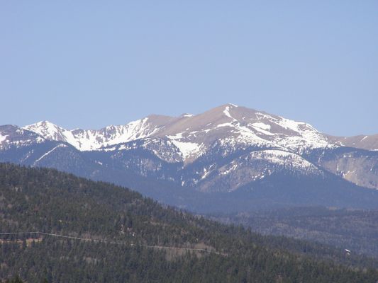
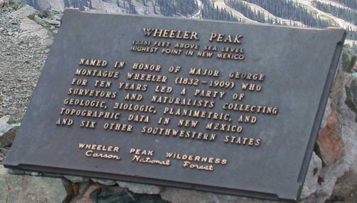
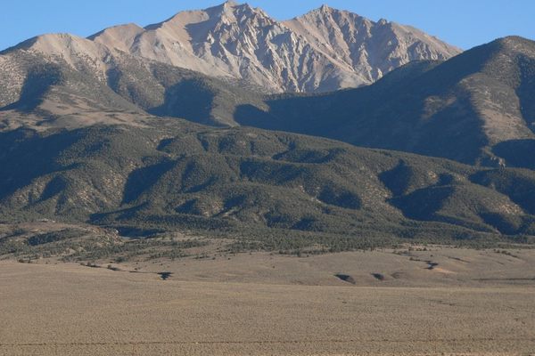
At least six mountains in the southwestern United States are named after George Montague Wheeler, who led expeditions to map the vast area. New Mexico's Wheeler Peak is the highest point in the state at 13,167 feet above sea level.
Already leading expeditions in the area after the Civil War, Wheeler would survey the area for seven more years at the behest of Congress to explore the geology and exploit the natural resources of the region. The Wheeler survey began in 1872 to make a topographical map of the southwestern United States. The Survey's photographs are now in the Library of Congress. The Survey and three others mapping the Sierra Nevada, Nebraska, and the Rocky Mountains would form the United States Geological Survey.
There are two standard routes to the summit of New Mexico's Wheeler Peak: the gentle but 7.5 mile long Bull-of-the-Woods Trail, and the short but steep 3.5 mile Williams Lake Trail. Either trail can be accessed from the Taos Ski Valley resort. Follow either of these trails to a wide view of the country that Wheeler and his party explored almost 150 years ago.
Related Tags
Know Before You Go
The Bull-of-the-Woods trailhead is at the Taos Ski Valley RV parking lot. Hike 7.5 miles, passing over the summit of Mount Walter, to the summit. The Williams Lake trailhead is at the Phoenix Grill. Hike 3.5 miles to the summit.
Community Contributors
Added By
Published
July 28, 2014
