About
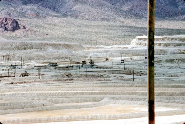
From 1952 to 1978, Anaconda Copper Company operated the open-pit Yerington Copper Mine. During that time, the mine produced approximately 165 million tons of copper. Anaconda got out of the copper-mining business, it was rumored, in part to avoid tightening environmental regulations, although falling copper prices were certainly a factor. Later, there was some small-scale mining involving reprocessing stockpiled ore and spoil with newer technology, but all that activity is also now defunct.
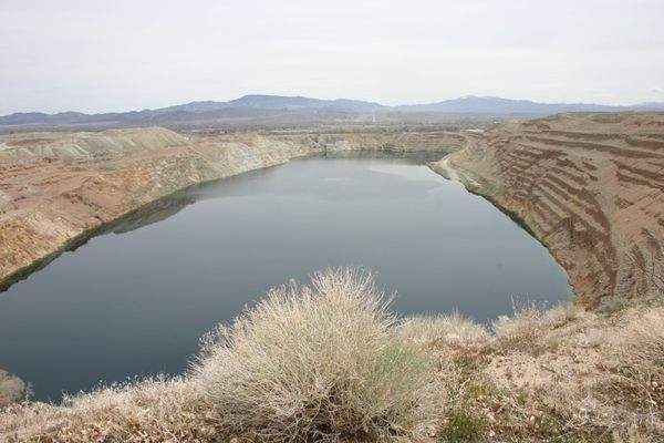
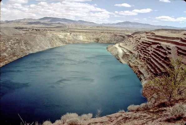
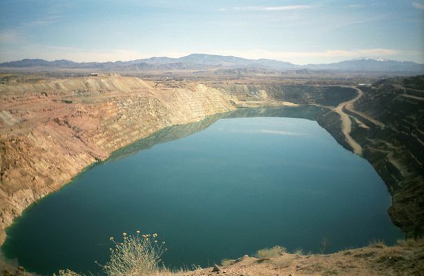
Once the mine stopped operating and pumping ceased, the open pit began filling with water as a result of groundwater seepage. Now the former mine has turned into a roughly rectangular lake that measures about a mile long and 1,600 feet wide. As of 2020, the water was about 500 feet deep and still filling at the rate of some 10 acre-feet (about 3.3 million gallons) per year. The increase will cease when the level becomes even with the water table.
Unsurprisingly, the U.S. Environmental Protection Agency has designated the area a Superfund site. At present, often-acrimonious discussions continue with regards to what remediation efforts should be undertaken and who will pay for them.
Related Tags
Know Before You Go
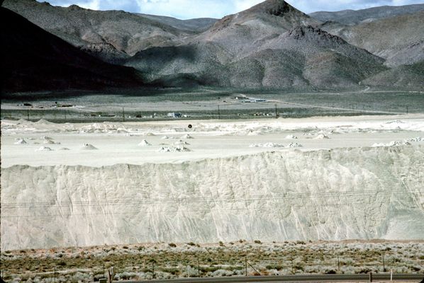
The whole site, including the surrounding spoil and tailings heaps, the old smelting facilities, and the pit itself, are fenced off and closed to public entry. However, a public viewpoint for the pit remains on the west side by the town of Weed Heights, originally Anaconda's company town.
If coming from the north on US 95A, turn right (west) onto Burch Drive. This turnoff is about 0.4 mile north of McGowan Lane, where US 95A makes a right-angle turn to the left. (Nevada SR 339 continues straight.) Proceeed 1.8 miles to the T-junction with Austin St.; turn left here. Go about 100 yards; the viewpoint will be obvious on your left. There is plenty of parking and even some interpretive signs (see photos).
Alternatively, if coming from the south turn west onto Weed Heights Drive. This intersection is on SR 339 about 1.9 miles south of its intersection with US-95A. After another 1.9 miles, Weed Heights Drive intersects Austin Dr. about 120 feet south of the turnoff into the overlook.
Community Contributors
Added By
Published
April 14, 2022

