About
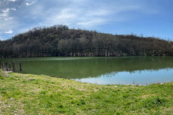
Just west of Coulee City, Washington, highway US-2 crosses a dike holding back a sizable reservoir, Banks Lake, in a wide canyon, the Grand Coulee. (In Washington, "coulee" is a localism for a flat-bottomed canyon with steep sides).
Banks Lake resembles several storage reservoirs in the arid lands of the American West. It even has the usual recreational infrastructure such as marinas, boat-launch ramps, and bait shops. However, it is unusual, indeed unique, in a fundamental way: Grand Coulee is an abandoned Ice Age channel that carries no modern river.
Banks Lake is thus doubly artificial: not only does the dike hold back the water to make a lake, but the water itself was pumped up some 280 feet (85 meters) from the Columbia River using power from Grand Coulee Dam. (Grand Coulee Dam is not in the Grand Coulee. It's on the Columbia River below the upper end of the coulee).
Why was all this effort expended? Banks Lake is the storage reservoir for the Columbia Basin (Irrigation) Project to the south. It can also be used as a power-storage reservoir. If water is run back through the pumps, the motors driving them to act as generators.
Related Tags
Know Before You Go
As mentioned, US Highway 2 crosses the dike at the south end of the coulee. Washington State Route 155 joins US-2 just east of Coulee City and runs north along the east side of Banks Lake, joining WA SR 174 at the town of Grand Coulee. Amenities (lodging, food, etc.) can be found at Coulee City and in the developments around Grand Coulee (the town).
In addition, about two-thirds of the way toward the town of Grand Coulee you pass Steamboat Rock, a prominent butte within the Grand Coulee that is now a near-island. It's the site of a Washington State park, with a developed campground, a network of hiking trails, and a boat launching ramp. Grand Coulee Dam, although hardly obscure, also makes a worthwhile side-trip while in the area.
Community Contributors
Added By
Published
March 16, 2022


