About
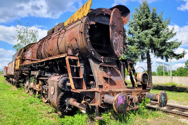
From the late 19th century until well into the 20th a dedicated rail line was central to large timber operations. The main line was used to haul logs back to the mill and take supplies out to the logging site. In the early years, temporary spur lines were laid out to the areas of active logging. Even after those temporary lines were replaced by trucks, the railroad remained the main artery of transportation.
In many cases, the railroad was also used to shift temporary housing to establish camps centered on the current area of logging. Typically these were composed of cabins on skids that could be dragged into place, and then moved again when timber operations shifted. Furthermore, the denizens of the camps often included families with children as well as single men.
This was the case at the Clover Valley Lumber Company Railroad, one of the longest-lasting timber railroads in the U.S., which shut down only in 1957. The Clover Valley Lumber Company was based in Loyalton, California, where it had a mill. In the early 20th century, logging was carried out near Loyalton but as this timber was exhausted, the company looked farther afield.
After World War I, the railroad was extended north across Sierra Valley into the Plumas National Forest, passing near the village of Beckwourth (formerly called Beckwith). Timber was actively harvested in this area for decades. Multiple camps were set up, the active camp generally being moved farther north every few years.
Finally, after the operation became economically unviable in the 1950s, the line was abandoned and the rails and camp cabins salvaged.
Related Tags
Know Before You Go
The best-preserved remnants of the Clover Valley Lumber Company Railroad are in Plumas National Forest, north of the village of Beckwourth on California State Route 70. Take County Road 111/USFS Road 177 (the Beckwourth-Genessee road), which is paved, north from from its intersection with SR-70 (at about 39.81827 N, 120.37547 W) in Beckwourth. It is 6.7 miles to the turnoff to Crocker Campground, where the old right-of-way is prominent south of the campground.
After another 2.5 miles, you come to a junction, where the Beckwourth-Genessee road continues straight (and loses its pavement). Turn right here, onto USFS 70, which is still paved although narrow with no centerline stripe. The old railroad right-of-way is obvious just to the west of this highway.
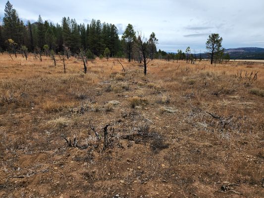
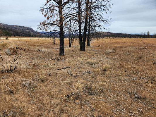
In another 4.6 miles there is an intersection with graded USFS road 28N01. Turn left here. You will cross the old railroad right-of-way in 0.3 miles, after which the road generally parallels the old right-of-way, which is now out in the valley. In another 3.6 miles, you reach a junction to the right leading to Siegfried Canyon. There are prominent railroad remains here.
These are just a few examples and those interested can find many more. The Clover Valley Railroad was not a single main line but had many different branches over the years. To find other occurrences, consult the USGS 7.5' quadrangle maps for the area, which show the Clover Valley Lumber Company Railroad as an "abandoned railroad line." The most useful quadrangles, from south to north, are Portola, Crocker Mountain, Squaw Valley Peak, and then Babcock Peak to the west. The site of the last timber camp, #14, is even shown on the Babcock Peak quadrangle, though it's reported that few traces are left.
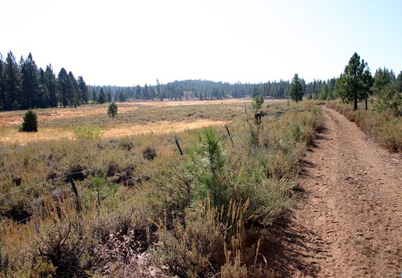
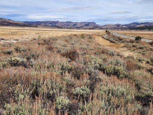
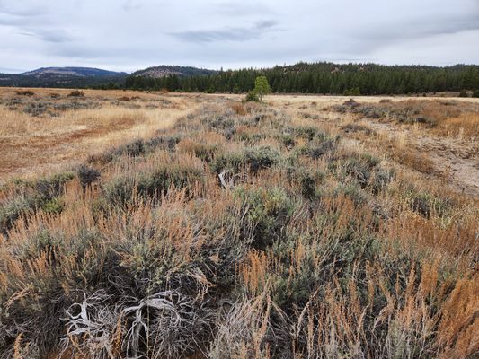
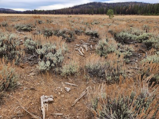
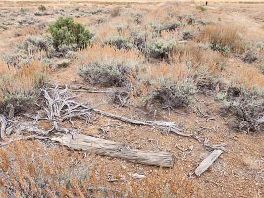
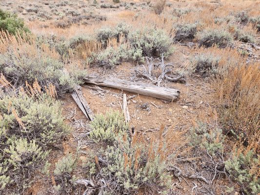
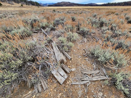
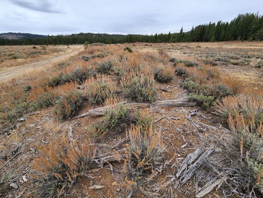
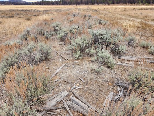
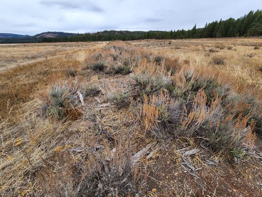
Typically the railroad right-of-way shows up as an embankment, commonly heavily vegetated, on which there are splintered remnants of ties, and even sometimes railroad spikes and rail tie-downs.
Community Contributors
Added By
Published
February 21, 2024
