About
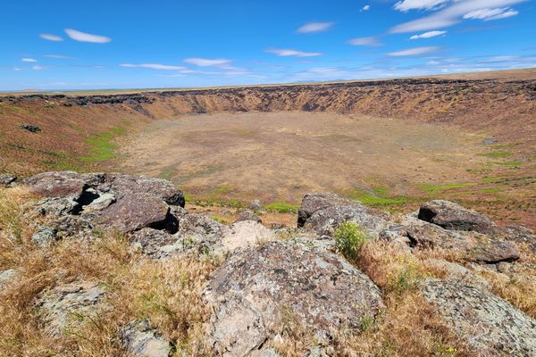
The U.S. Geological Survey considers there to be one active volcano in Colorado. Located in the northwest of the state, it last erupted between 3,800 and 5,500 years ago, creating Dotsero Crater.
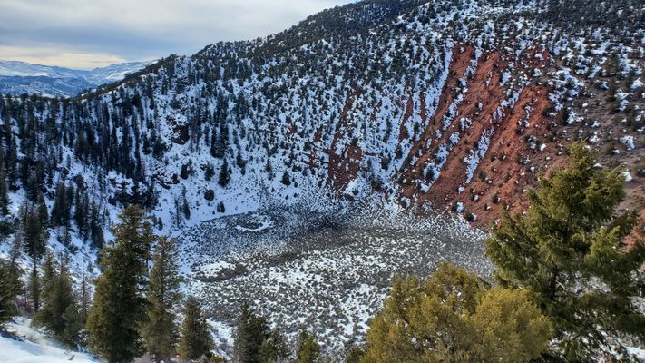
The crater formed when an underground water reservoir came in contact with intruding magma, resulting in an explosion that destroyed the country rock and showered tephra across the nearby valley. Such an explosion then resulted in the arrival of magma to the surface, resulting in a volcano which is still geologically active to this day.
The crater itself measures about 2,460 feet across. When first formed, the crater may have been as deep as 1,300 feet, but slow natural erosion and backfill have limited that to a depth of 250 feet, still an impressive sight from the eastern rim.
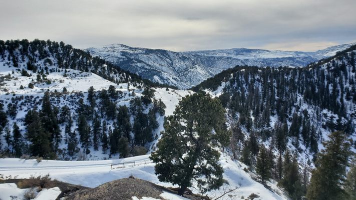
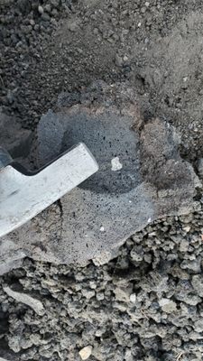
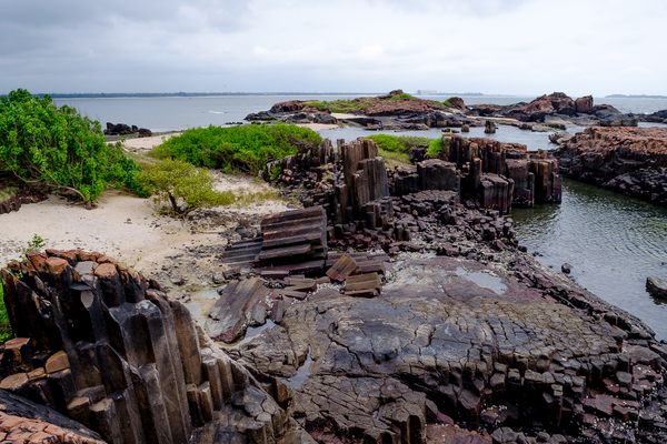
Though not likely to explode in our lifetime, the USGS puts this volcano at a moderate risk level, meaning if it did erupt, it would disrupt local airplane traffic due to the ash. Stopping by isn’t likely to kill you, however; this crater and its surroundings have some great views and several gorgeous igneous rock formations, hard to find in other areas of the state.
Related Tags
Know Before You Go
Parking is most easily found in the town of Dotsero, anywhere along the road. From there, it's about a 40 minute hike up 8460 Rd to the crater. This road should be drivable in the summer with a good off-road vehicle, but may be very adverse in winter, possibly requiring crampons or other snowy hiking equipment.
Community Contributors
Added By
Published
May 2, 2023
