About
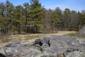
At 635 feet above sea level, Great Blue Hill is the highest hill on the Atlantic Ocean south of Maine. It is the origin of the Massachusett Indian tribe's name, roughly meaning "of the great hill" in various Algonquian translations. It came to be called Great Blue Hill after the granite on its eastern slopes appeared blue from ships on the ocean.
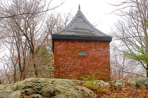
The hill is part of the Blue Hills Reservation, a park 10 miles southwest of downtown Boston. The 3.4-mile Great Blue Trail winds up the hill past the Eliot Memorial Bridge and Observation Tower—which offers a wide view of the Boston skyline—to the summit, the highest point in Norfolk County. At the summit you'll find Blue Hill Observatory, which has been studying climate weather since 1885.
The hill also caused a little bit of panic in 1980, thanks to an ill-advised April Fools joke at a Boston television station. On April 1, 1980, WNAC-TV ran a report that this hill had erupted, belching forth lava and ash. The station ran footage of the 1980 eruption of Mount St. Helens, along with some ominous-sounding words from President Carter. While a sign at the end of the report said April Fool, the local police were swamped with calls from panicked citizens asking about how to evacuate. The producer was then fired.
Related Tags
Community Contributors
Added By
Published
February 3, 2017


