About
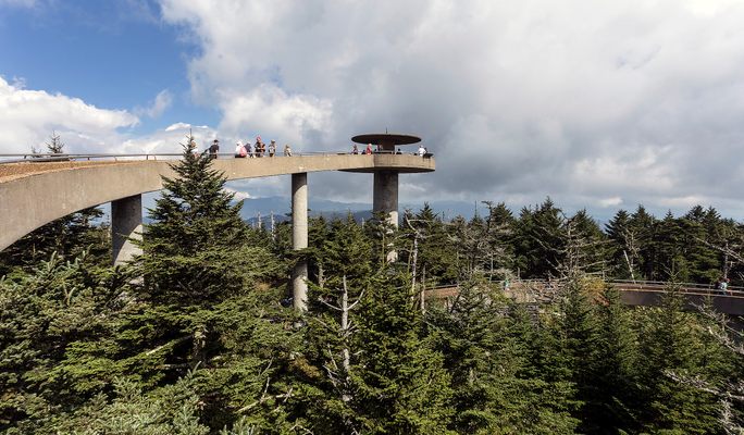
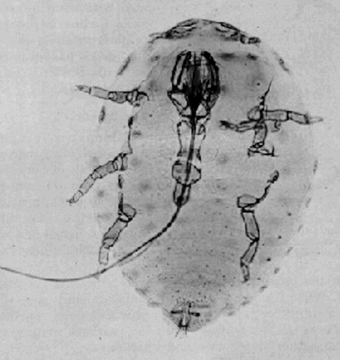
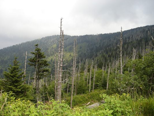
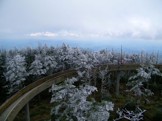
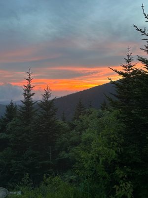
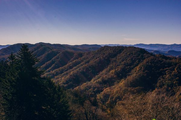
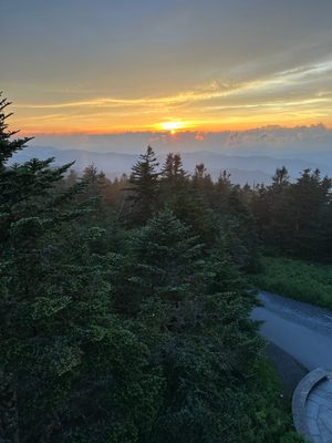
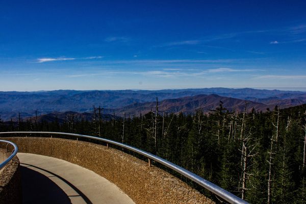
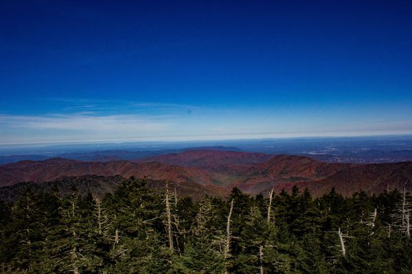
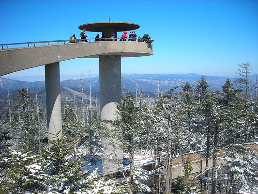
At 6,644 feet, Kuwohi towers over the Great Smoky Mountains, straddling the Tennessee-North Carolina border. The peak is renowned for its sweeping 360-degree views, accessible from a 50-foot-tall concrete observation tower built in 1959. On a clear day, you can see up to 100 miles in every direction, with rolling, misty hills of dense forest extending into both states. However, those forests have been transformed by the hemlock woolly adelgid, an invasive insect that nearly eradicated the region’s once-thriving Fraser fir trees in a 20th-century epidemic. The ghostly remnants of these trees now stand as stark reminders of the fragility of this beautiful landscape.
The name of the mountain means “mulberry place” in the Cherokee language. According to legend, the mountain was home to White Bear, the chief of all bears, and his council house. There was said to be a sacred lake in the area called Ataga'hi, where bears could go to heal their injuries. While most Cherokee were forced out of their lands by the US government in 1938, some stayed behind and became U.S. citizens. This Eastern Band, as they are called now, would later buy back some of their land and still call the Appalachians home to this day.
In 1789, North Carolina gave up their claim to the territory which would later be known as Tennessee. They delineated much of the border along the crest of the Smoky Mountains, including Kuwohi. Settlers moving into the area dubbed it “Smoky Dome.” It was later renamed "Clingman’s Dome" in honor of explorer Thomas Clingman. Clingman famously (and incorrectly) argued the case that Smoky Dome was the highest in the region, not Black Dome (today known as Mount Mitchell). Clingman would later go on to serve as a general in the Confederate Army.
In 2022, members of the Eastern Band of Cherokee Indians began an official movement to restore the original name of the mountain. The movement was supported by the Buncombe County Board of Commissioners and the National Park Service. On September 18, 2024, the U.S. Board on Geographic Names approved the change back to Kuwohi. One of the Cherokee women who proposed the name restoration, Lavita Hill, has said she hopes the change will inspire younger generations to learn more about their language and heritage, and to remind everyone that this is part of the Cherokee homeland.
Related Tags
Know Before You Go
Do note that Kuwohi is often fogged out due to the high elevation. They are called the Smokies for a reason. From Newfound Gap in Smoky Mountains National Park at the Tennessee - North Carolina border, drive 7 miles down Clingmans Dome Road, park, and hike 1 mile up the paved trail to the tower. The road is closed in winter.
Community Contributors
Added By
Published
May 23, 2013
Updated
October 23, 2024
