About
Update as of November 2023: The road is closed for renovations until 2024.
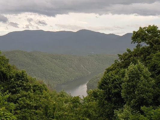
The Fontana Dam, rising high above the Little Tennessee River in western North Carolina, is the tallest dam in the eastern United States. It was a long and winding road to getting the dam built, and what was lost during the journey can be seen in the nearby “Road to Nowhere.”
Fontana Dam was built in 1941, on land given over to the Tennessee Valley Authority by the Aluminum Company of America (ALCOA). The United States' entry into World War II meant a huge spike in the demand for aluminum for aircraft, ships, and munitions, so a deal was struck for the TVA to build the dam with ALCOA as the primary consumer. With a readymade customer in the U.S. War Department, the aluminum company stood to benefit from all that hydroelectric power coming in.
The people that did not benefit were the flooded-out communities along the banks of the rising water. Where there had previously been small towns, villages, and homesteads along the north side of the river, there was now Fontana Lake, and the people who lived and worked there were either bought out or moved off.
To assuage those being displaced, part of the dam deal was to build a road from Bryson City to Deals Gap along a route north of the river. It was intended not only to allow people to make the journey but to provide ongoing access to their ancestral lands and cemeteries. The road was to be cut through the newly created Great Smoky Mountains National Park.
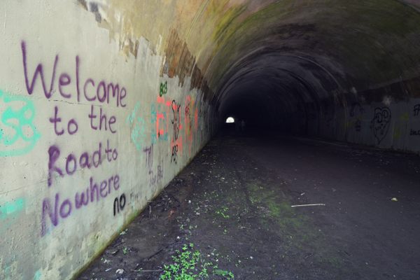
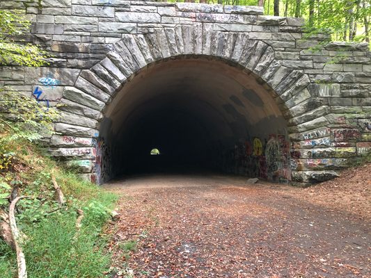
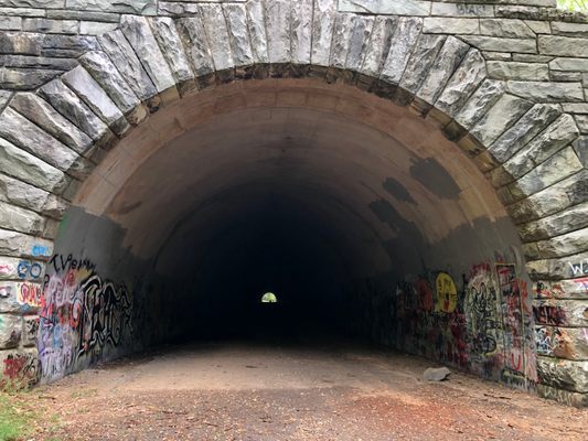
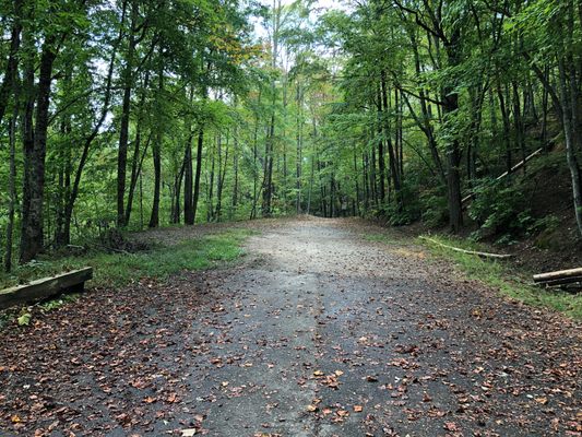
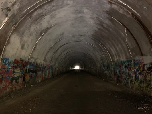
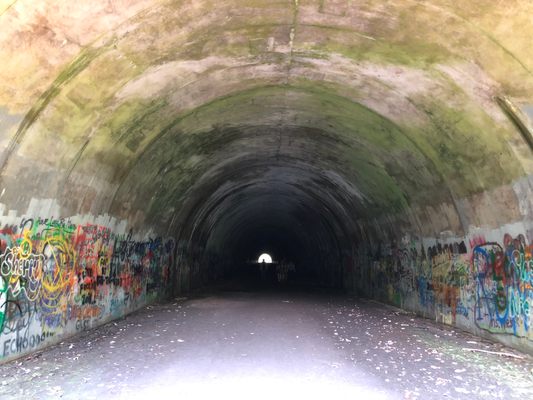
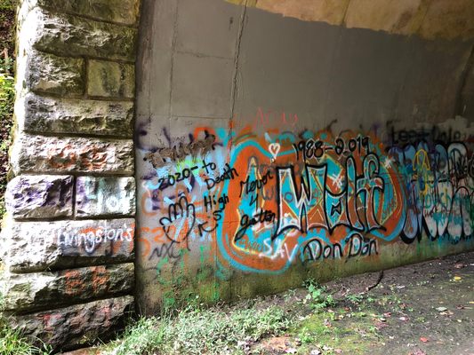
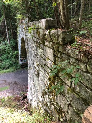
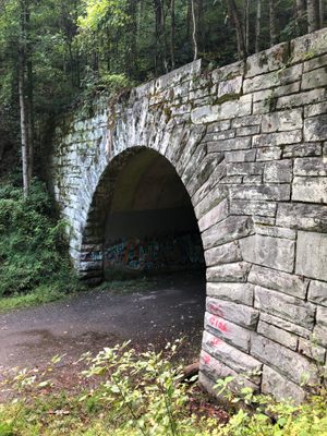
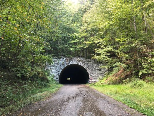
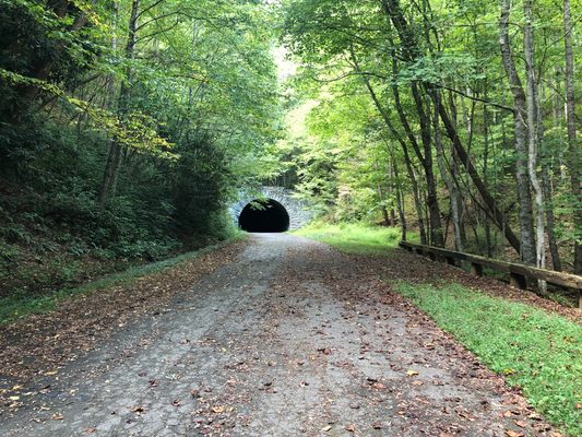
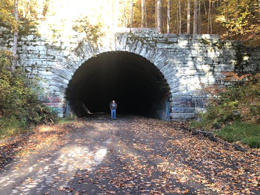
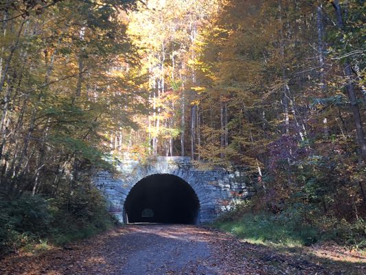
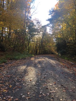
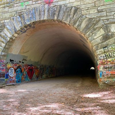
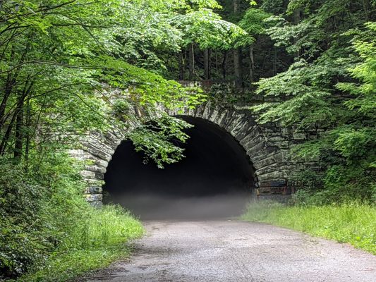
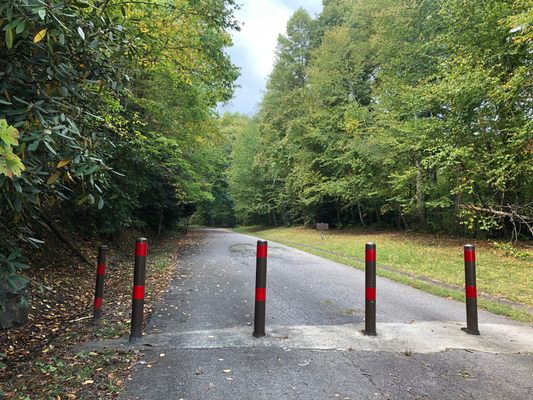
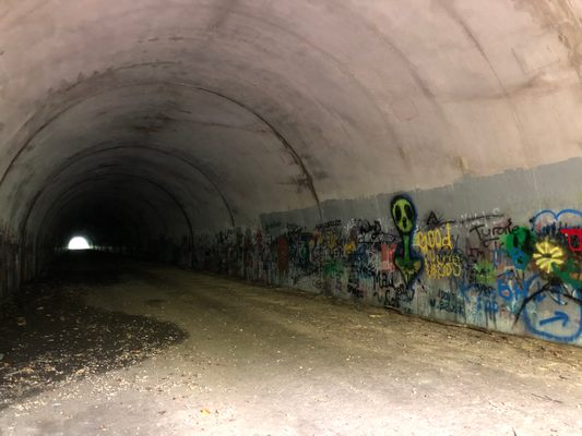
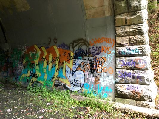
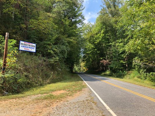
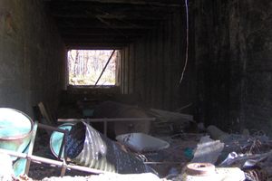
The people were moved, the water rose, and by the 1970s—30 years after the original agreement was made—only a small portion of the road was built. This small section, still there today, is about seven miles long and ends abruptly at a quarter-mile tunnel in the park, in the middle of nowhere.
The road was never finished due to environmental concerns: someone noticed that snowflakes melted unusually quickly on the newly exposed rock, as well as a strong smell of sulfur. The rock had the potential to turn runoff acidic, threatening wildlife in nearby streams. The only solution was to stop construction.
The road sat unfinished for decades, and finally, the U.S. Department of Interior agreed to pay a consolation prize of $52 million to Swain County in lieu of building the road. As of 2016 only $12 million had been paid, and the county filed a lawsuit for the remainder of the promised money. In 2018, the last payment was made in the settlement; the funds are held by the state of North Carolina and Swain County receives interest on the settlement money.
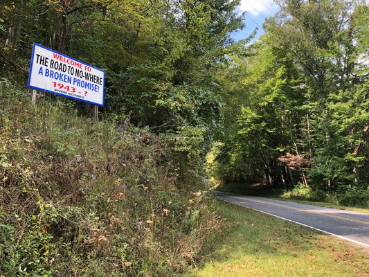
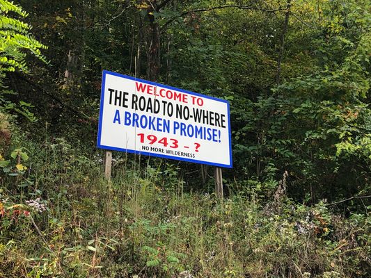
As for the road itself, it will remain as it is now: going nowhere. It’s no wonder one landowner has maintained a now-iconic sign:
“Welcome to the Road to Nowhere—a broken promise! 1943 - ? →”
Related Tags
Know Before You Go
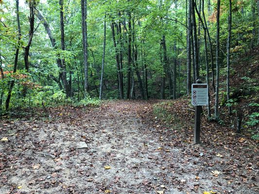
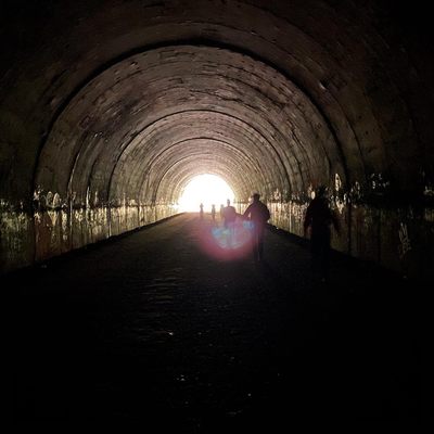
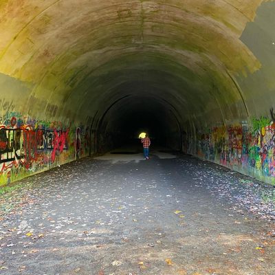
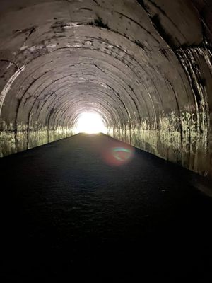
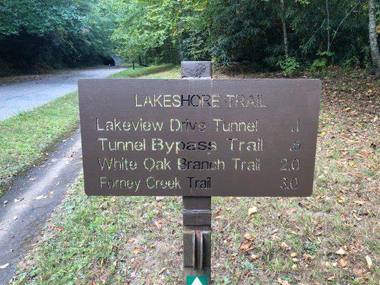
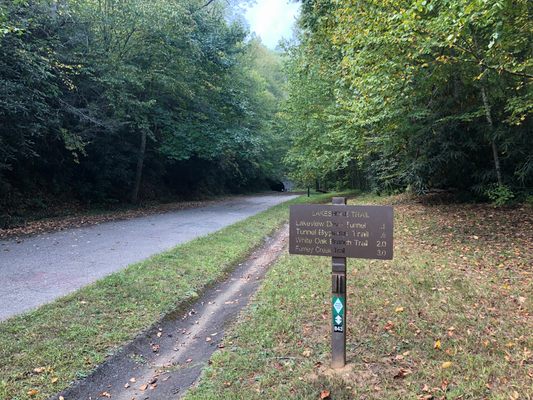
From Bryson City, follow Everett Street/Fontana Road north out of town, and stay on Fontana Road until you come to the entrance to Great Smokey Mountains National Park. Once in the park, the road becomes Lakeview Drive East. Follow the winding road for about 6 miles until you cross a bridge over Nolands Creek, and there is a parking area next to a barricade. From there it’s a short walk to the tunnel, which is about a quarter-mile long—longer than it looks from the outside. It's dark in there, so bring a flashlight. “Nowhere” is on the other side, along with some beautiful trails and views. The abandoned site of Proctor is about a 10-mile hike from here; follow National Park Service trail maps for all trails and connections inside the park.
Community Contributors
Added By
Published
June 29, 2016
Sources
- http://ncpedia.org/road-nowhere
- https://en.wikipedia.org/wiki/Lakeview_Drive
- http://www.nationalparkstraveler.com/2011/12/trails-ive-hiked-lake-shore-loop-great-smoky-mountains-national-park9194
- https://www.brysoncityoutdoors.com/2015/03/13/the-road-to-nowhere/
- https://en.wikipedia.org/wiki/Hazel_Creek_(Great_Smoky_Mountains)


