About
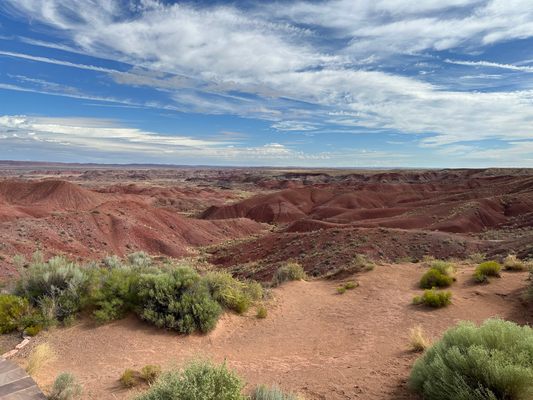
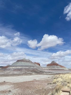
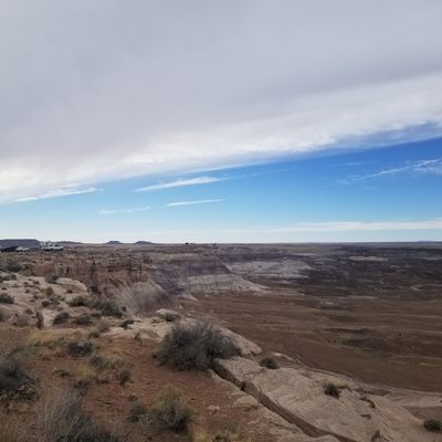
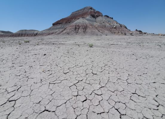
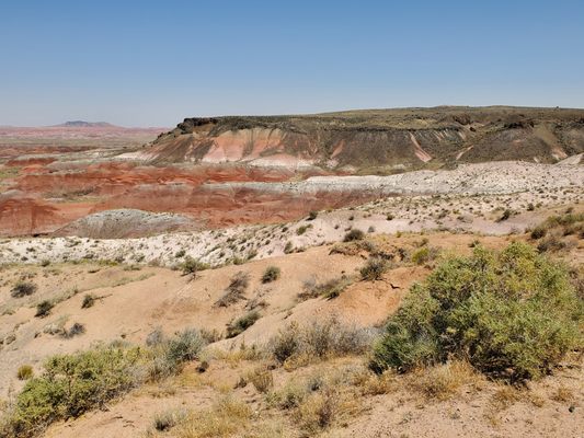
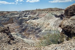
Straddling the border between Navajo County and Apache County in the far northeastern corner of Arizona, the Petrified Forest National Park is about 146 square miles in size. The northern part of this site extends into the Painted Desert; the entire thing was declared a National Park in 1962, more than five decades after it was first named a National Monument in 1906.
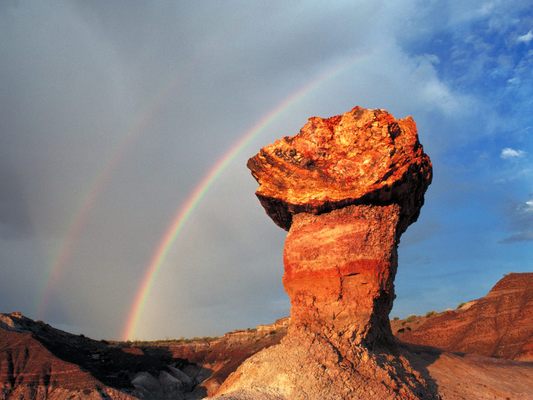
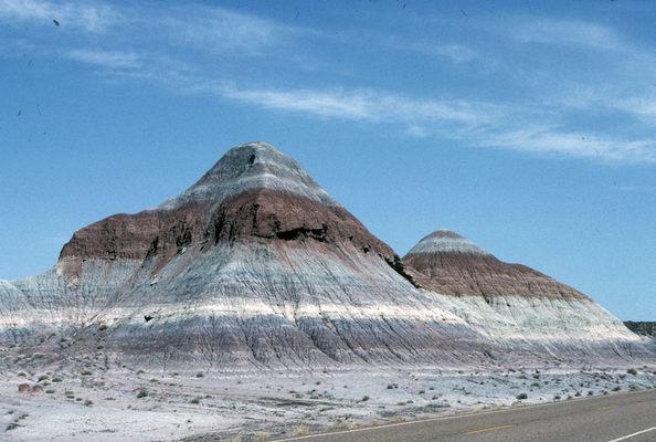
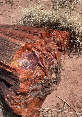
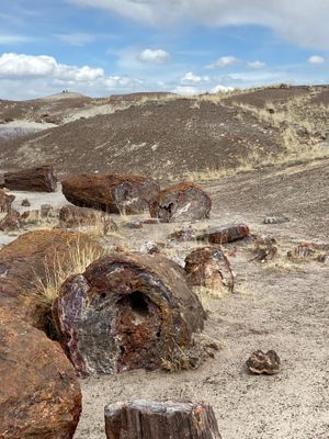
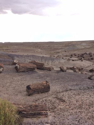
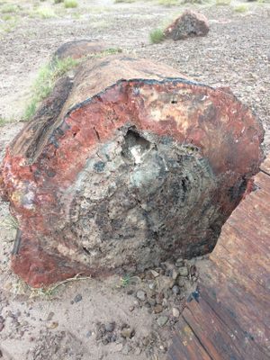
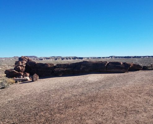
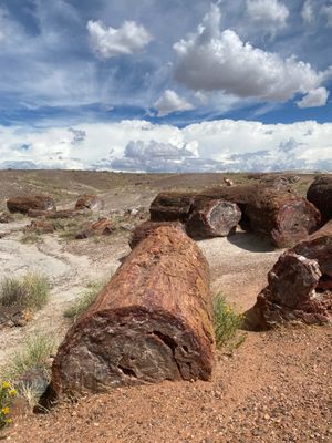
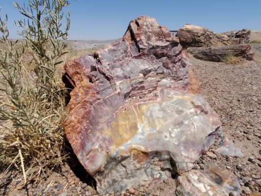
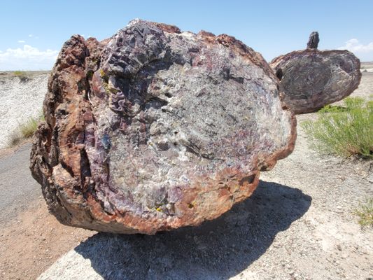
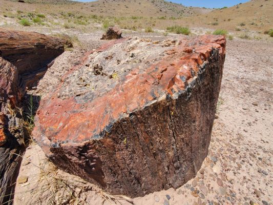
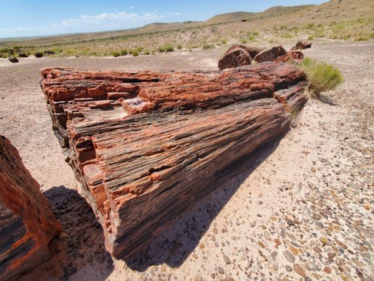
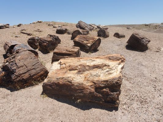
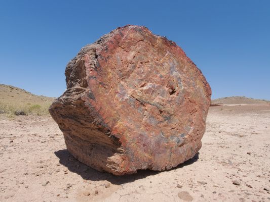
Known for its fossils, especially those of fallen trees that first grew during the Late Triassic period of the Mesozoic Era more than 225 million years ago, the Petrified Forest is in a region that was once near the equator on the southwestern edge of the supercontinent Pangaea. Back then, its climate was humid and sub-tropical. The sediments that contain the fossilized logs are park of the colorful and widespread Chinle Formation, from which the Painted Desert first got its name.
There are no overnight spots or campgrounds available in the park, but nearby communities offer motels and other accommodations that visitors use. Overnight parking is not allowed, either, unless you have a wilderness hiking permit and are backpacking through the park.
Sightseeing options are offered for private motorcycles, automobiles, and hikers. The park road, turn-outs, and parking lots are big enough to accommodate large recreational vehicles such as tour buses and traditional RVs.
Related Tags
Know Before You Go
For experienced backpackers, get a backcountry hiking and camping permit from the National Park Service at the ranger station, which allows parking at the trailhead and overnight tent camping at least a mile or two into the wilderness area. However, these are limited and may not be available at all times of the year. Visitors who wish to see the night sky can find opportunities to visit the park after dark by checking the website for a schedule of ranger-led astronomy programs.
If you are traveling along Interstate 40 and wish to drive through the park in a single day, the shortest route depends on your direction of travel. Eastbound, get onto the 180 from the Flagstaff area. Then take exit 285 (which will look like an intersection) north into the park, and the road through the park will end at the 40. Traveling westbound, take exit 311 from the 40, and the road will loop north briefly before turning south. Continue west on the 180 until it returns to the 40.
Community Contributors
Added By
Edited By
Jane Weinhardt Goldberg, RBAR, WhiskeyBristles, meganoflaherty1...
Published
January 13, 2011

