About
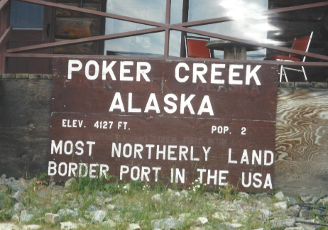
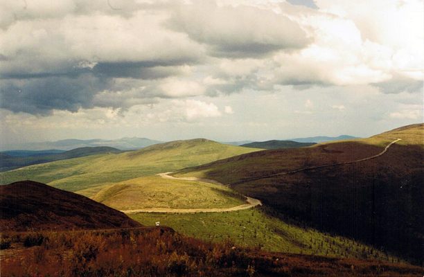
The Top of the World Highway snakes through breathtaking North American scenery. Rolling hills flank a path sparsely studded with clusters of scraggly trees. On this boreal route sits Poker Creek, the United States’ northernmost terrestrial border crossing.
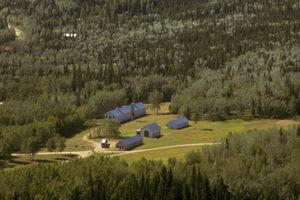
At an elevation of 4,127 feet, Poker Creek is the second highest border crossing along the US-Canada border. (The highest crossing is at Chief Mountain near Waterton-Glacier International Peace Park at 5,649 feet.) It’s the U.S. counterpart to Canada’s adjacent command post at Little Gold Creek, Yukon Territory. Though the two stations share a facility, they’re actually separated by a time zone.
The population of Poker Creek fluctuates wildly, changing by as much as 50 percent from year to year. Variously reported as two or three people, demographics change with the needs of the U.S. Customs Service. Census numbers plummet congruently with the temperatures in winter, as the border closes between September and May.
After passing through Poker Creek and into the U.S., travelers are free to range over Alaska’s great wildlands toward the town of Chicken. Ticking along Route 5, Tok beckons only 80 miles south from there. The more adventurous may choose the six-hour round-trip detour north on dirt roads to the historic town of Eagle, perched on the banks of the Yukon on the site of the now-abandoned Fort Egbert.
Related Tags
Know Before You Go
The border crossing is closed during the winter.
Published
July 17, 2018

