Trips Places Foods Stories Newsletters

Take your next trip with Atlas Obscura!

Our small-group adventures are inspired by our Atlas of the world's most fascinating places, the stories behind them, and the people who bring them to life.

Visit Adventures
Trips Highlight
Macchu Picchu
Peru • 10 days, 9 nights
Peru: Machu Picchu & the Last Incan Bridges
from
Central Asia yurt night stars
Uzbekistan • 15 days, 14 nights
Central Asia Road Trip: Backroads & Bazaars
from
View all trips
Top Destinations
Latest Places
Most Popular Places Random Place Lists Itineraries
Add a Place
Download the App
Top Destinations
View All Destinations »

Countries

  • Australia
  • Canada
  • China
  • France
  • Germany
  • India
  • Italy
  • Japan

Cities

  • Amsterdam
  • Barcelona
  • Beijing
  • Berlin
  • Boston
  • Budapest
  • Chicago
  • London
  • Los Angeles
  • Mexico City
  • Montreal
  • Moscow
  • New Orleans
  • New York City
  • Paris
  • Philadelphia
  • Rome
  • San Francisco
  • Seattle
  • Stockholm
  • Tokyo
  • Toronto
  • Vienna
  • Washington, D.C.
Latest Places
View All Places »
Though the dam crest is long gone, the tower still stands.
Den Hvide Jomfru (The White Maiden)
The front of the mosque.
Şakirin Mosque
Ornate decorations are part of some of the music boxes.
Terranova Music Box Museum
Take some of Michigan’s produce home with you.
American Spoon
Latest Places to Eat & Drink
View All Places to Eat »
Take some of Michigan’s produce home with you.
American Spoon
The local catch is delicious fried as well.
Terry's of Charlevoix
Carlson’s Fishery is a Great Lakes institution.
Carlson’s Fishery
Books are available inside for borrowing or purchase.
Cathedral Café
Exterior of the historic Dyffryn Arms pub.
Dyffryn Arms
Recent Stories
All Stories Video Podcast
Most Recent Stories
View All Stories »
Cely’s map is not only accurate, but captures the unique characteristics of Congaree’s trees and waterways.
How One Biologist Drew a Hyper-Accurate, Ranger-Approved Map of Congaree National Park
about 17 hours ago
Though they’re protected inside the park, wolves can be killed when they cross its borders.
Wolves Have a Bad Reputation. One Yellowstone Naturalist Is Trying to Fix It.
about 17 hours ago
Passersby stop to admire the punny offerings of Brooklyn’s only dinosaur bodega.
We Visited the Dino Bodega in (Jurassic) Park Slope
3 days ago
Native Americans have a longstanding, rich, and vibrant culture in Wyoming.
Wyoming’s Sacred Landscapes: A Journey Through Native American History
3 days ago

No search results found for
“”

Make sure words are spelled correctly.

Try searching for a travel destination.

Places near me Random place

Popular Destinations

  • Paris
  • London
  • New York
  • Berlin
  • Rome
  • Los Angeles
Trips Places Foods Stories Newsletters
Sign In Join
Places near me Random place
All Luxembourg Raschpëtzer Qanat
AO Edited

Raschpëtzer Qanat

A Roman water tunnel still flows 2,000 years on.

Walferdange, Luxembourg

Added By
duaner
Email
Been Here
Want to go
Added to list
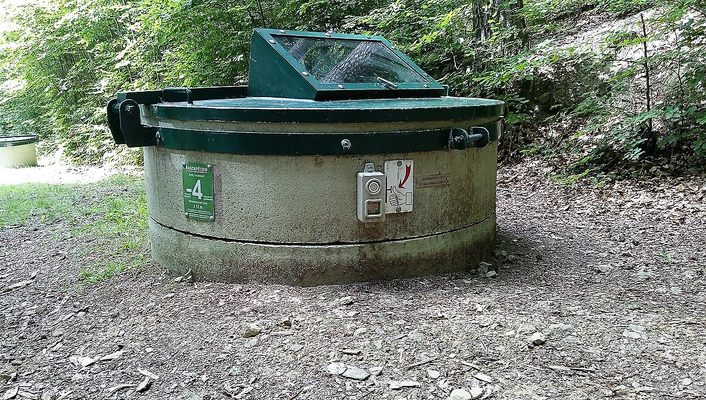
View inside the P-4.   R. Gelaesen
Pits P7, P8 and P9.   R. Gelaesen
View inside the P5 (the deepest: 35m).   R. Gelaesen
Visible part of P-4 with the window showing the bifucation at the bottom.   GilPe / CC BY-SA 4.0
Bottom of the visiting gallery showing the cross-section of the qanat after the fault. The metal structure symbolises the location of the P5 and the gallery digging into the stone.   R. Gelaesen
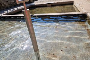
Bottom of the visiting gallery showing the water from the qanat disappearing into a fault in the rock.   R. Gelaesen
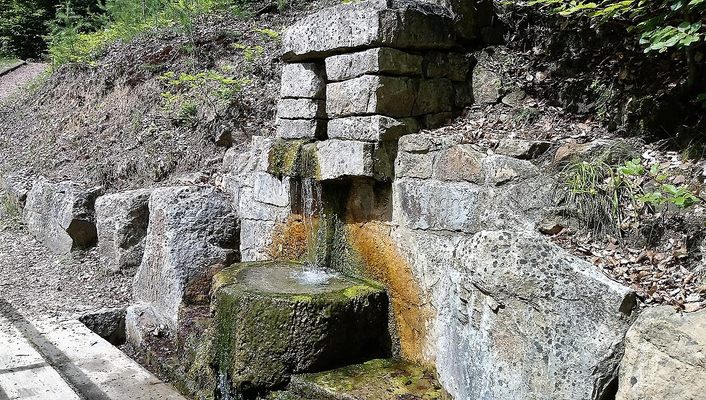
Resurgence of the bifurcation canal (rebuilt in 2000) showing a cross-section of the qanat.   GilPe / CC BY-SA 4.0
Been Here
Want to go
Added to list

About

Just north of Luxembourg City, where the river Alzette meanders its way out of the capital, lies Walferdange. The town is best known for the Raschpëtzer Qanat: a Roman water tunnel, or qanat, that still functions 2,000 years after its construction.

Locals have known about a series of holes in the forest northeast of Walferdange for ages. A legend dating back at least the beginning of the 19th century mentions four wichtelchers-lächer, or goblin holes, in the forest. Another folk tale claims that if you fell into one of the holes, you would come out near the Steinsel mill, a mill which no longer exists that was located downstream from Walferdange on the Alzette river.

The first excavations of the qanat began in 1913 before being interrupted by World War I. Between 1965 and 1970, the excavations were taken up again by members of the Groupe Spéléologique Luxembourg (G.S.L.). But due to a lack of resources and technical difficulties, it wasn’t until October 1986 that the bottom of well N°5 (P5) was reached some 114 feet (35 meters) down. On October 3rd, 1986, archaeologists uncovered a horizontal gallery and confirmed that the well was indeed a Roman qanat.

Today, around 1,000 feet (310 meters) of galleries have been explored. The qanat’s total length is estimated to be around half a mile long (650 to 720 meters). There are 13 known shafts, though some estimate there may be as many as 18. The qanat still produces about 47,500 gallons (180 cubic meters) of water daily, around 2 liters per second. This is probably slightly less than its original Roman output since the area wasn’t covered with vegetation then.

The qanat follows a chaotic course and was likely dug by two groups trying to reach each other. At the bottom of P8, a piece of wood with traces of rope wear—possibly from the construction of the qanat—has been dated to around 140, confirming the qanat was built during the Roman period between the 1st and 2nd centuries. A well-preserved shovel made of beech wood was also found in well P9.

Well P-4 (a negative number because several wells were discovered downstream of P1, which was thought to be the first well in the original numbering system) has a low dam or weir that controls the flow of water into a drainage canal. However, just before the P-5 well, the water disappears into the rock. Excavations show that this occurred when Romans operated the qanat and that their attempts at a solution were unsuccessful.

The biggest mystery remains why and for whom the qanat was built. A nearby archaeological site surrounded by a square wall was discovered along the Rue des Vergers, next to an electricity substation, but the site was never excavated due to lack of resources.

Given its size and the effort required to supply the qanat’s water, it could well have been a Roman military camp. The other ten Roman qanats in Luxembourg all supplied villas. The exceptional length and depth of the Walferdange qanat, however, make it stand out.

The other known Roman villas on the same slope were all connected to a spring. Likely a small natural spring, the Dauwebur, also supplied the camp. It provided only 5,000 gallons (20 cubic meters) of water per day, not enough to meet daily needs, so the qanat was likely added to provide more water.

The qanat is underground. However, many features are visible on the surface. Visitors can see the 10 excavated shafts, which have all been covered with metal lids. Two are windowed: P5 to see its 114 feet (35 meter) depth and P-4 to see the overflow bifurcation. The water outlet from the bifurcation was rebuilt in 2000. It now shows a cross-section of the pipeline. Finally, there is a gallery at well P-5. Here you can see where the water disappears underground. The walls of the access corridor are lined with explanatory panels. Few other Roman qanat sites have as many ruins and allow partial access to the water conduit.

Related Tags

History Infrastructure Ruins Wells Tunnels Water

Know Before You Go

The site is located in the middle of the forest. It is accessible from the Raschpëtzer car park on Rue Prince Henri (CR126). You can also walk along Rue Jean Mercatoris or Rue du Soleil to reach the site. The site and the visitors gallery are free.

The tour can be rounded off with a visit to the Sonnebierg Roman Villa nearby (rue Jean Schaack).

Community Contributors

Added By

duaner

Published

April 22, 2025

Edit this listing

Make an Edit
Add Photos
Sources
  • http://www.sitwalfer.lu/Raschpetzer.html
Raschpëtzer Qanat
Walferdange, 7230
Luxembourg
49.663905, 6.156115
Visit Website

Nearby Places

Doudeg Fra

Walferdange, Luxembourg

miles away

Schetzel Grotto

Steinsel, Luxembourg

miles away

Les Laboirs

Luxembourg, Luxembourg

miles away

Explore the Destination Guide

Photo of Luxembourg

Luxembourg

Europe

Places 21

Nearby Places

Doudeg Fra

Walferdange, Luxembourg

miles away

Schetzel Grotto

Steinsel, Luxembourg

miles away

Les Laboirs

Luxembourg, Luxembourg

miles away

Explore the Destination Guide

Photo of Luxembourg

Luxembourg

Europe

Places 21

Related Places

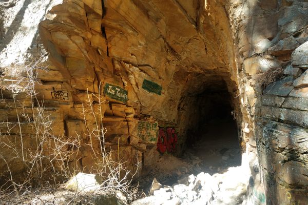
  • Inside the tunnel.

    Payson, Arizona

    Abandoned Mineral Belt Railroad Tunnel

    A partial tunnel blasted into a steep ridge is all that remains of a failed railway across Arizona.

  • Mandu, India

    Ujala Baoli

    This magical and eccentric stepwell is a hidden treasure within the ancient fort city of Mandu.

  • Neemrana baori.

    Neemrana, India

    Neemrana Baori

    This abandoned stepwell is one of the largest, deepest, and certainly one of the creepiest in India.

  • Washington, D.C.

    Washington Aqueduct Emergency Pumping Station

    These abandoned waterworks are crumbling into the Potomac River.

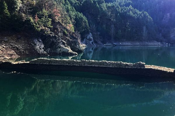
  • The arch is visible below the surface

    Lleida, Spain

    Pont de Montiberri

    A river hides a charming medieval bridge.

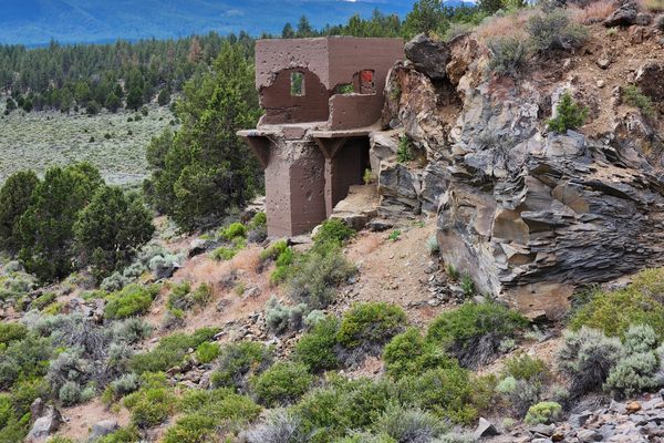
  • The never-used headgate structure at the west end of the dam.

    Bend, Oregon

    Tumalo Dam

    The ruins of a failed dam that was built over land later described as a "sponge."

  • The aqueduct or what remains of it.

    San Juan, Philippines

    Arko San Juan

    The only remaining section of an aqueduct that used to supply water to Manila during the Spanish occupation.

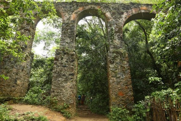
  • Ilha Grande, Brazil

    Ruins of the Ilha Grande Aqueduct

    The ruins of a 19th-century aqueduct run through this Brazilian island's deep forest.

Aerial image of Vietnam, displaying the picturesque rice terraces, characterized by their layered, verdant fields.
Atlas Obscura Membership

Become an Atlas Obscura Member


Join our community of curious explorers.

Become a Member

Get Our Email Newsletter

Follow Us

Facebook YouTube TikTok Instagram Pinterest RSS Feed

Get the app

Download the App
Download on the Apple App Store Get it on Google Play
  • All Places
  • Latest Places
  • Most Popular
  • Places to Eat
  • Random
  • Nearby
  • Add a Place
  • Stories
  • Food & Drink
  • Itineraries
  • Lists
  • Video
  • Podcast
  • Newsletters
  • All Trips
  • Family Trip
  • Food & Drink
  • History & Culture
  • Wildlife & Nature
  • FAQ
  • Membership
  • Feedback & Ideas
  • Community Guidelines
  • Product Blog
  • Unique Gifts
  • Work With Us
  • About
  • FAQ
  • Advertise With Us
  • Advertising Guidelines
  • Privacy Policy
  • Cookie Policy
  • Terms of Use
Atlas Obscura

© 2025 Atlas Obscura. All Rights Reserved.