About
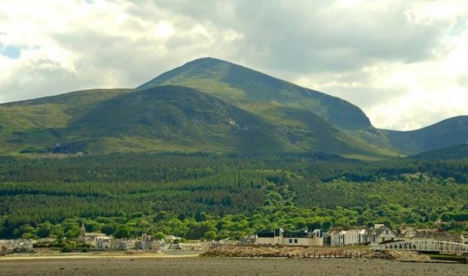
Two large prehistoric cairns and part of a 22-mile long wall sit atop Slieve Donard, the highest point in Northern Ireland at 2,789 feet above sea level.
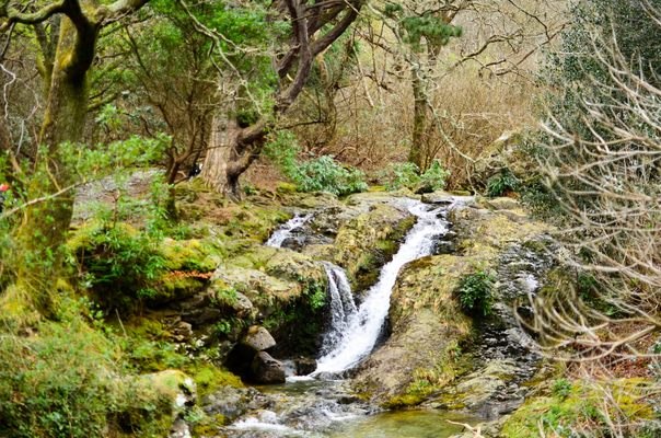
In the Mournes near the city of Newcastle in County Down, there are two main trails to the top of Slieve Donard. The standard route is the Glen River Path, which starts at the Donard Park car park in downtown Newcastle near where the Glen River empties into the Irish Sea. The other is the Bloody Bridge River Path which follows the Bloody Bridge River past the tiny hamlet of Crannoge. Climbers should be prepared for quickly changing weather, thick snow and strong winds in winter. A hiker, Carl Stephenson, was stuck by lightning on the summit in 2006, and a plaque was placed there in his memory.
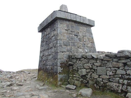
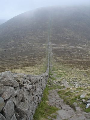
On either route, climbers will encounter the Mourne Wall and will end up following it to the top of the mountain. This granite wall is 22 miles long and passes over 15 mountains in the Mournes. It was built in the early 20th century to mark and enclose the Mourne watershed area. On the summit of Donard there is a stone tower that marks and apex of the wall.
In addition to the wall tower, there are also two prehistoric cairns, known respectively as the Greater and the Lesser. The Greater Cairn is thought to be a large passage tomb dating to the Neolithic Age, while the Lesser Cairn dates back to the very early Bronze Age. Myth holds that the Greater Cairn was both a tomb of mythical figures and an entrance to the Otherworld of Celtic lore. Even though that is just a myth, the haunting surrounds on the peak make it seem fairly plausible.
Related Tags
Know Before You Go
For the Glen River Path, in Newcastle, start at the Donard Park car park. Hike 2.9 miles to the summit.
Community Contributors
Added By
Published
June 16, 2015
