Trips Places Foods Stories Newsletters

Take your next trip with Atlas Obscura!

Our small-group adventures are inspired by our Atlas of the world's most fascinating places, the stories behind them, and the people who bring them to life.

Visit Adventures
Trips Highlight
Slovenia mushroom foraging
Slovenia • 6 days, 5 nights
Forest to Table in Alpine Slovenia
from
A view of Brașov’s Old Town.
Romania • 12 days, 11 nights
Legends of Romania: Castles, Ruins & Culinary Delights
from
View all trips
Top Destinations
Latest Places
Most Popular Places Random Place Lists Itineraries
Add a Place
Download the App
Top Destinations
View All Destinations »

Countries

  • Australia
  • Canada
  • China
  • France
  • Germany
  • India
  • Italy
  • Japan

Cities

  • Amsterdam
  • Barcelona
  • Beijing
  • Berlin
  • Boston
  • Budapest
  • Chicago
  • London
  • Los Angeles
  • Mexico City
  • Montreal
  • Moscow
  • New Orleans
  • New York City
  • Paris
  • Philadelphia
  • Rome
  • San Francisco
  • Seattle
  • Stockholm
  • Tokyo
  • Toronto
  • Vienna
  • Washington, D.C.
Latest Places
View All Places »
Statue of the Buddha in the main temple
Gadaladeniya Viharaya
McClellan Falls
McClellan Falls
Kraken Habitat
Skye Textile Mill
Latest Places to Eat & Drink
View All Places to Eat »
Caru' cu Bere
The sign declares this the number-one gumbo shop in town.
Gumbo Hut Shioya
The pavlova comes crowned with jewel-like fruit.
Central Park Boathouse
The Village Tavern of Long Grove - exterior.
The Village Tavern
Hunter House Hamburgers
Recent Stories
All Stories Video Podcast
Most Recent Stories
View All Stories »
Inside the Rothko Chapel
These Monuments Showcase the Beauty of Brutalism
about 18 hours ago
Aerial view of Pulau Tiga
The Original ‘Survivor’ Island Changed Television Forever
1 day ago
Obscura Day Summer 2025: Roaming among Assateague's feral island ponies
1 day ago
The main reading room of the Athenaeum.
Obscura Day Summer 2025: Literary Landmarks Across Providence
1 day ago

No search results found for
“”

Make sure words are spelled correctly.

Try searching for a travel destination.

Places near me Random place

Popular Destinations

  • Paris
  • London
  • New York
  • Berlin
  • Rome
  • Los Angeles
Trips Places Foods Stories Newsletters
Sign In Join
Places near me Random place
All the United States Nevada Winnemucca Tobin Range (Pearce) Scarps
AO Edited

Tobin Range (Pearce) Scarps

The strongest earthquake in Nevada's recorded history left these spectacular breaks along the west front of a range in central Nevada.

Winnemucca, Nevada

Added By
slgwv
Email
Been Here
Want to go
Added to list
The scarp south of Golconda Canyon.   slgwv / Atlas Obscura User
Fault scarp along the west base of the Tobin Range, near Golconda Canyon.   slgwv / Atlas Obscura User
The scarp by the unnamed canyon ~1.4 miles south of the Slot Canyon.   slgwv / Atlas Obscura User
The scarp by the canyon ~1.2 miles south of Golconda Canyon. It’s about 20 ft tall here.   slgwv / Atlas Obscura User
The scarp by the canyon ~1.2 miles south of Golconda Canyon.   slgwv / Atlas Obscura User
The scarp ~1.2 miles south of Golconda Canyon.   slgwv / Atlas Obscura User
The scarp about a mile south of Golconda Canyon.   slgwv / Atlas Obscura User
The scarp south of Golconda Canyon, closer view.   slgwv / Atlas Obscura User
Scarp north of the Slot Canyon.   slgwv / Atlas Obscura User
The scarp about 0.3 miles south of the Slot Canyon. Walking stick is 44 inches tall.   slgwv / Atlas Obscura User
Close-up of scarp near the Slot Canyon.   slgwv / Atlas Obscura User
The scarp and the Slot Canyon, closer view.   slgwv / Atlas Obscura User
The scarp by Golconda Canyon.   slgwv / Atlas Obscura User
Road into Golconda Canyon. This should be passable to passenger cars up to the scarp in dry weather.   slgwv / Atlas Obscura User
The scarp looking north toward Golconda Canyon (in the distance).   slgwv / Atlas Obscura User
The scarp looking back toward the north.   slgwv / Atlas Obscura User
The Slot Canyon and the scarp to its north.   slgwv / Atlas Obscura User
Been Here
Want to go
Added to list

About


At 10:54 p.m. on October 2, 1915, Pleasant Valley, Nevada, was rocked by an enormous earthquake. Its Mercalli intensity (a guide based on damage from shaking, graded in Roman numerals from I to X) was extreme (X). The Richter scale had not yet been devised, but the quake is estimated to have a magnitude of 7.3. It is the strongest earthquake ever recorded in Nevada and lies in the Central Nevada Seismic Belt.

Remarkably, there were no fatalities, as only about 60 people lived in the immediate vicinity of the epicenter. Damage to structures such as barns and houses ranged from extensive to catastrophic, however. Winnemucca, Nevada, about 40 miles north and the nearest town of any size, had widespread but relatively minor damage such as toppled chimneys. An extended series of both foreshocks and aftershocks bracketing the main shock added to the toll of damage—not to mention the stress level of the local population.

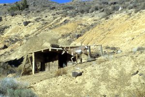
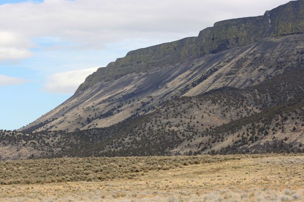
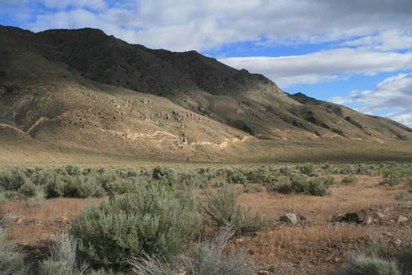
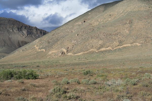
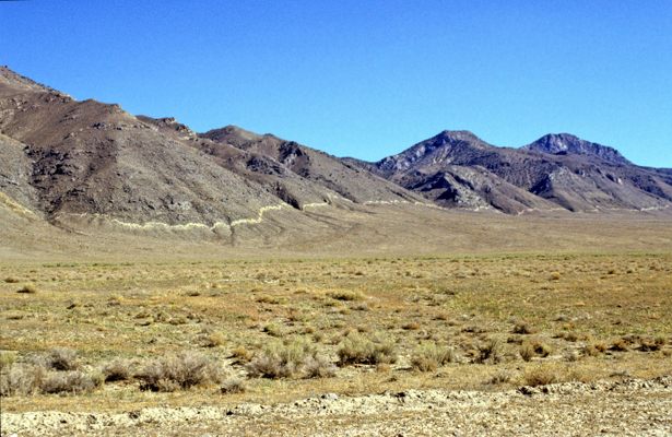
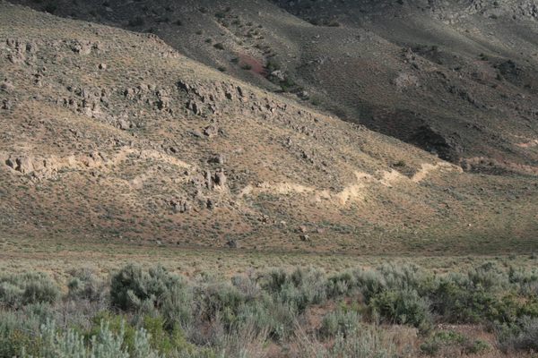
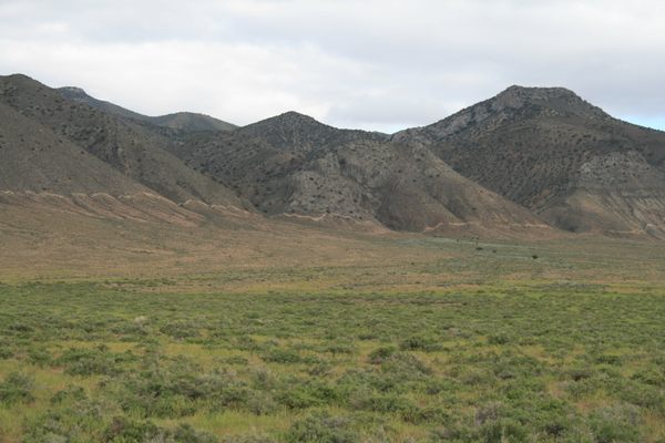
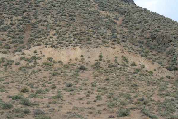
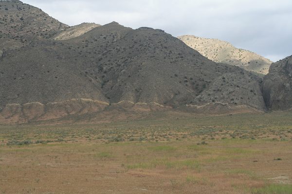
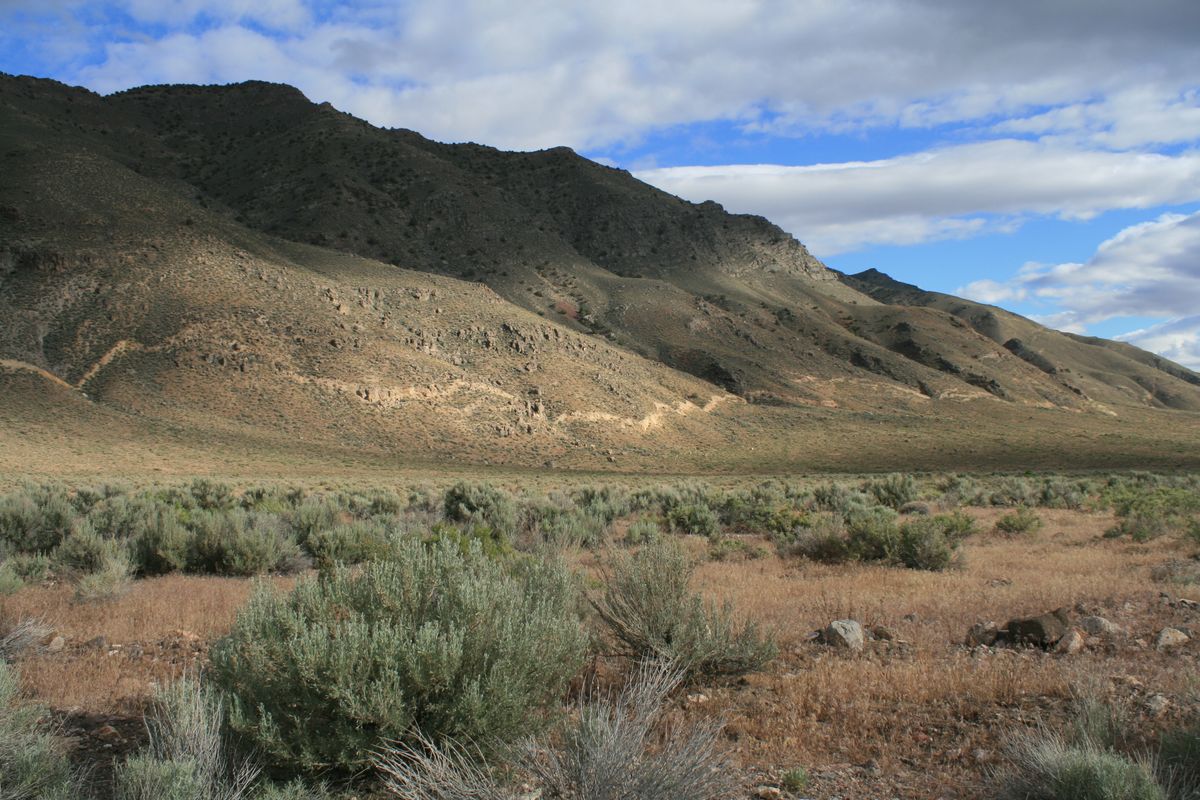
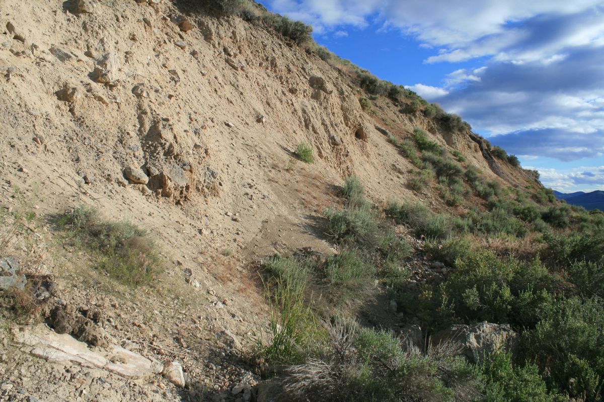
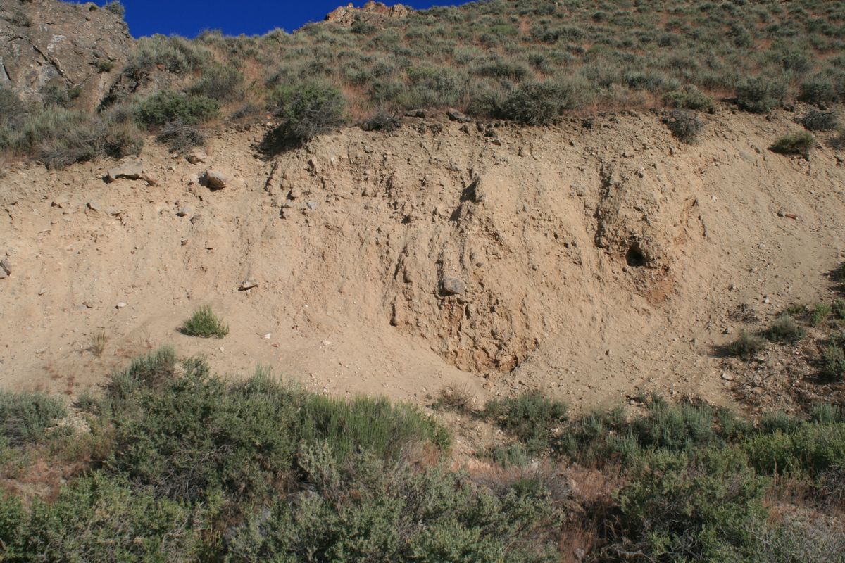
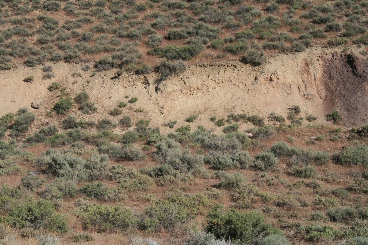
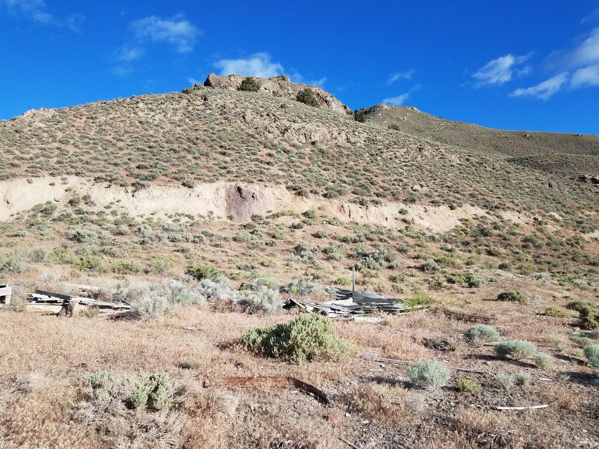
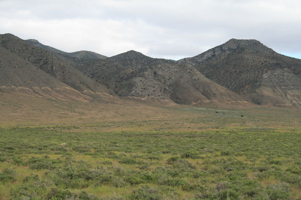
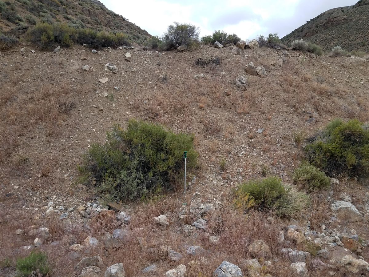
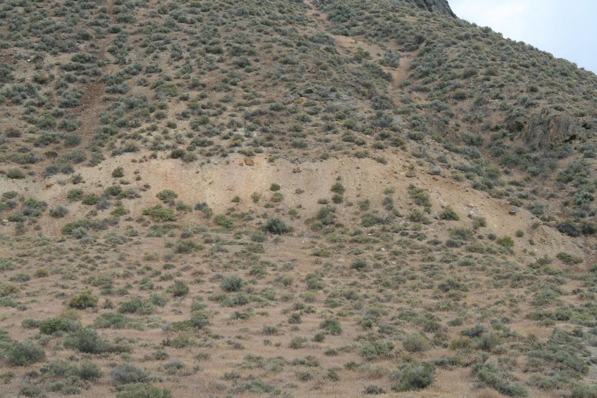
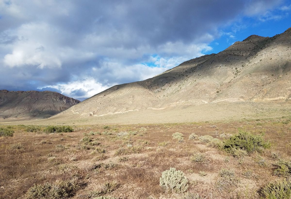
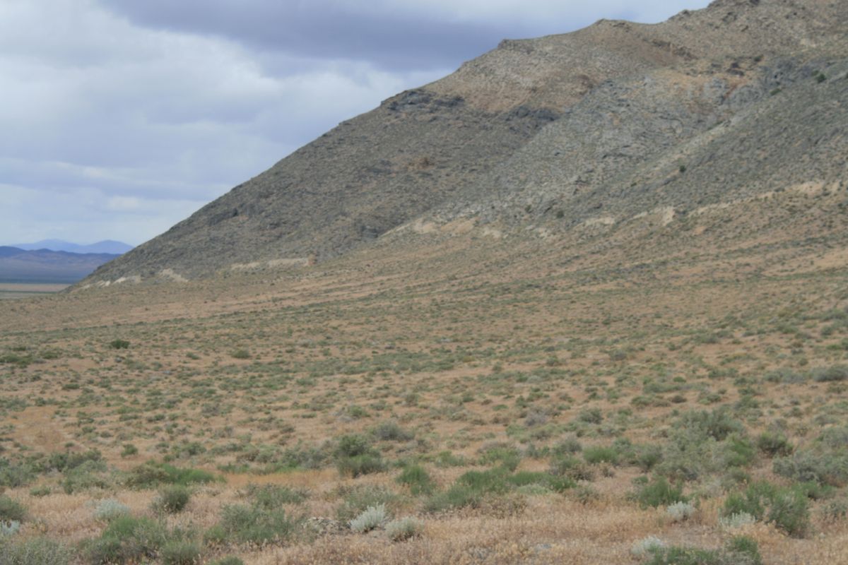
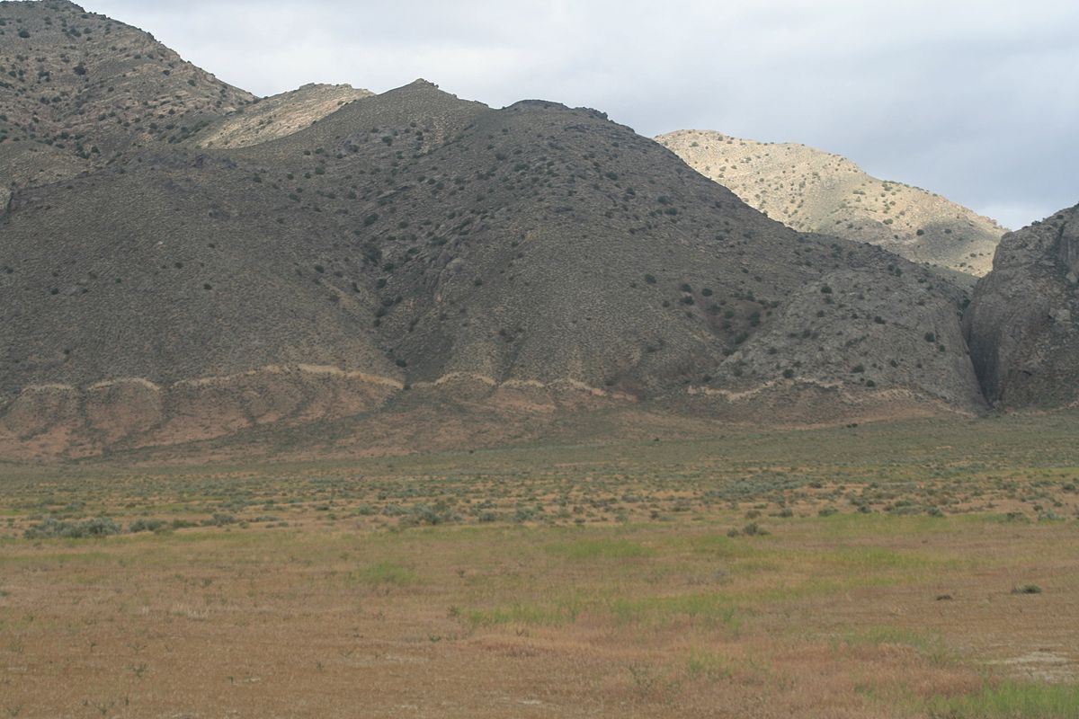
The quake left a prominent series of scarps (breaks) in the land surface, of which the most spectacular can be found along the western base of the Tobin Range, beginning about 40 miles south of Winnemucca and extending another 20 miles so so. The old USGS publications call these the "Pearce" scarps after a former ranch in the area.

Related Tags

Landscapes Geology Earthquakes

Know Before You Go

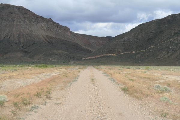
The scarps cannot be reached on a paved road. However, they can be seen from a graded road that should be passable to ordinary passenger cars in dry weather. The easiest access is probably from Winnemucca. Be sure to top off with fuel as there are no service stations anywhere near the scarps. In the west end of downtown Winnemucca turn south on Hanson Street and proceed 0.5 miles, crossing the railroad bridge. Then turn right on Grass Valley Road (State Route 294), intersection at 40.963663 N, 117.734187 W. (To the left this road is marked as "Haskell St."). Now proceed 38.9 miles from this point to the turnoff to Siard Rd. This may be marked as a ranch turnoff, but in any case is at 40.431121 N, 117.606599 W. Grass Valley Road starts out paved, but gradually loses the pavement cover, finally becoming just graded.

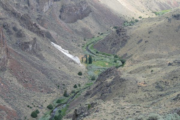
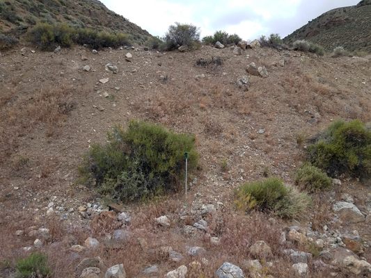
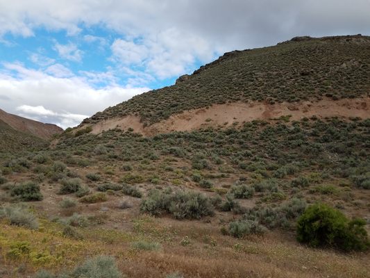
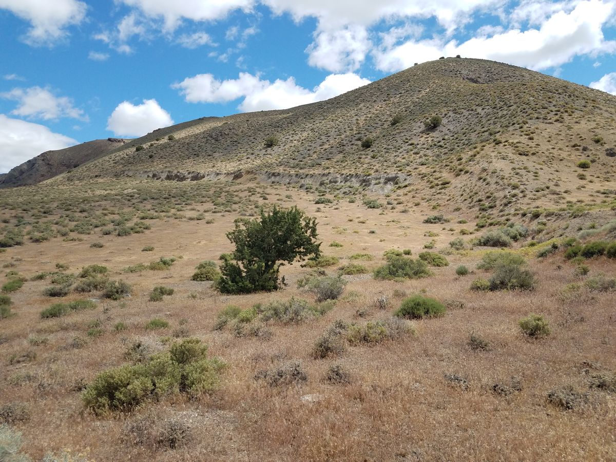
The scarps will be visible as light-colored bluffs near the break in slope at the base of the range. They are not always continuous and are typically wavy as viewed from the road, because of the variations in slope topography.

From the Siard Road turnoff it is another 7.4 miles to the turnoff to the Golconda Canyon Road. This is the only publicly accessible place where the scarp can be reached with a passenger car.

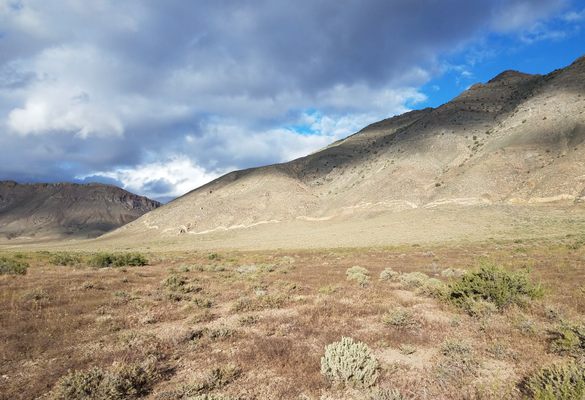
Some 3.3 miles beyond the Golconda Canyon turnoff Grass Valley Road crosses to the west side of the valley. After this point views of the scarp are more distant and closer access is blocked by private land.

However, the scarp can be publicly accessed by several 4wd tracks before this point. One comes in 0.2 miles south of the Golconda Canyon turnoff. It goes to a scarp in an unnamed canyon about 1.2 miles south of Golconda Canyon along the range front.

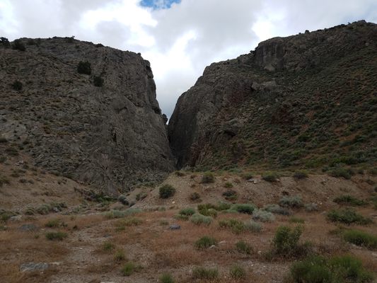
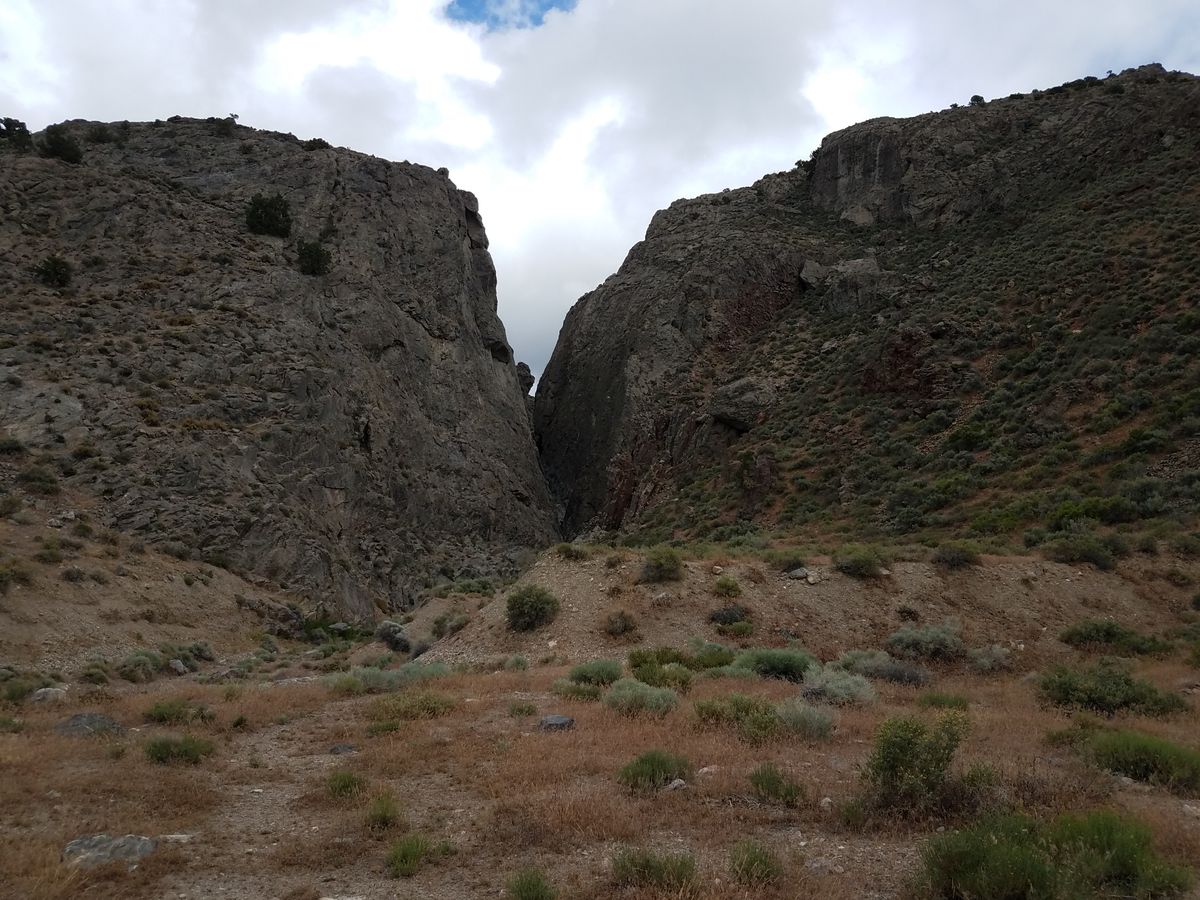
Another 4wd access is about 2.9 miles from the Golconda Canyon turnoff, where a 4wd trail climbs up a low ridge out of the drainage in the valley bottom. After about a mile this track branches. The left branch goes to a spectacular but unnamed slot canyon mouth at 40.285516 N, 117.633709 W, below Little Miller Basin, as well as to another unnamed canyon about 0.35 mile south of the slot canyon. The right branch goes to another unnamed canyon about 1.4 miles south of the slot canyon along the range front. These branches even show up, in part, on Google Maps.

To emphasize: these are tracks not passable by passenger cars, and even 2wd high-clearance vehicles are likely to encounter difficulties. However, they would work fine as hiking trails if a capable vehicle is not available.


Community Contributors

Added By

slgwv

Published

July 15, 2022

Edit this listing

Make an Edit
Add Photos
Sources
  • Wallace, Robert E.  Fault scarps formed during the earthquakes of October 2, 1915, in Pleasant Valley, Nevada, and some tectonic implications, U.S. Geological Survey Professional Paper, 1274-A, 1984.
  • Wallace, Robert E.   Patterns and timing of Late Quaternary faulting in the Great Basin Province and relation to some regional tectonic features, J. Geophysical Research B, 89, 5763-5769, 1984.
Tobin Range (Pearce) Scarps
Grass Valley Rd
Winnemucca, Nevada, 89445
United States
40.326655, -117.636108
Visit Website
Get Directions

Nearby Places

Nevada Quicksilver Mine

Lovelock, Nevada

miles away

Thunder Mountain Monument

Imlay, Nevada

miles away

Lovelock Airmail Arrow

Woolsey, Nevada

miles away

Explore the Destination Guide

Photo of Winnemucca

Winnemucca

Nevada

Places 5

Nearby Places

Nevada Quicksilver Mine

Lovelock, Nevada

miles away

Thunder Mountain Monument

Imlay, Nevada

miles away

Lovelock Airmail Arrow

Woolsey, Nevada

miles away

Explore the Destination Guide

Photo of Winnemucca

Winnemucca

Nevada

Places 5

Related Places

  • Window arch in the City of Rocks.

    Almo, Idaho

    City of Rocks

    This U.S. natural reserve is an ancient spiritual place and rock climber’s paradise.

  • View of Frank Triguero homestead site from the canyon rim.

    Bruneau, Idaho

    Bruneau Canyon

    The "Grand Canyon of Southwestern Idaho" makes a spectacular gash across the flat Snake River plain.

  • Rambla de Barrachina

    Villaspesa, Spain

    Rambla de Barrachina

    The geomorphology of the Turia Valley could easily be mistaken for Utah or Arizona.

  • Mexican Hat

    Mexican Hat, Utah

    Mexican Hat

    This balancing rock is one of Utah's most unusual geological formations.

  • The lookout cabin.

    Summer Lake, Oregon

    Fremont Point

    Stay in an old lookout cabin atop Oregon's spectacular Winter Ridge.

  • Abert Rim from US-395 near Valley Falls.

    Valley Falls, Oregon

    Abert Rim

    This spectacular fault escarpment, a popular hang-glider launch point, extends some 30 miles long and towers about 2,500 feet over the valley floors to the west.

  • Great Salt Plains of Oklahoma

    Jet, Oklahoma

    Great Salt Plains

    This unique landscape is the only place in the world to dig for hourglass-selenite crystals.

  • Plaques along the trail at Earthquake Park share information about the event and its lasting effects on the region.

    Anchorage, Alaska

    Earthquake Park

    The now-serene site of the largest earthquake ever recorded in North America.

Aerial image of Vietnam, displaying the picturesque rice terraces, characterized by their layered, verdant fields.
Atlas Obscura Membership

Become an Atlas Obscura Member


Join our community of curious explorers.

Become a Member

Get Our Email Newsletter

Follow Us

Facebook YouTube TikTok Instagram Pinterest RSS Feed

Get the app

Download the App
Download on the Apple App Store Get it on Google Play
  • All Places
  • Latest Places
  • Most Popular
  • Places to Eat
  • Random
  • Nearby
  • Add a Place
  • Stories
  • Food & Drink
  • Itineraries
  • Lists
  • Video
  • Podcast
  • Newsletters
  • All Trips
  • Family Trip
  • Food & Drink
  • History & Culture
  • Wildlife & Nature
  • FAQ
  • Membership
  • Feedback & Ideas
  • Community Guidelines
  • Product Blog
  • Unique Gifts
  • Work With Us
  • About
  • FAQ
  • Advertise With Us
  • Advertising Guidelines
  • Privacy Policy
  • Cookie Policy
  • Terms of Use
Atlas Obscura

© 2025 Atlas Obscura. All Rights Reserved.