About
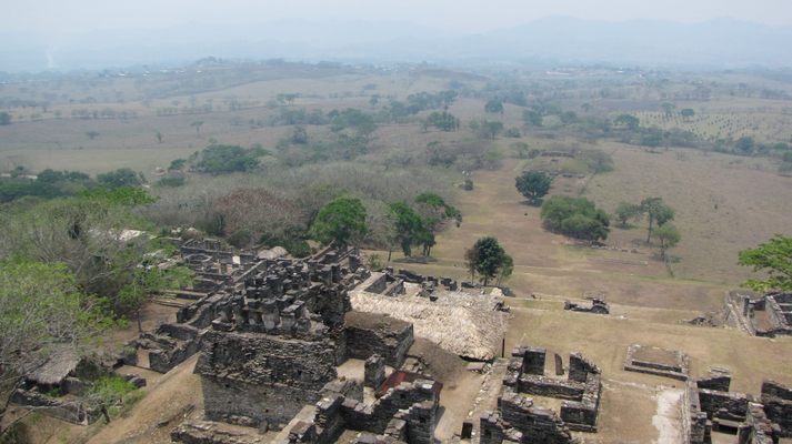
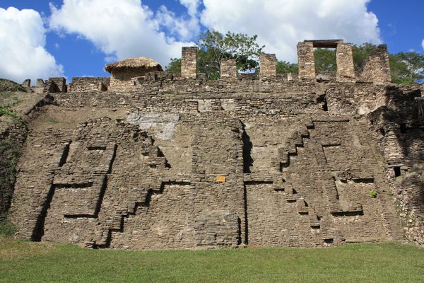
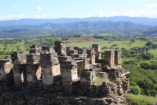
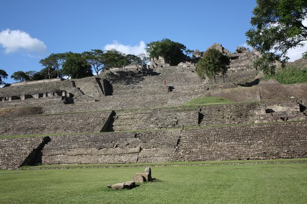
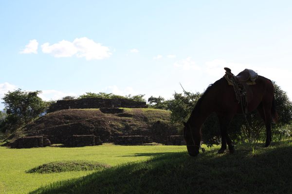
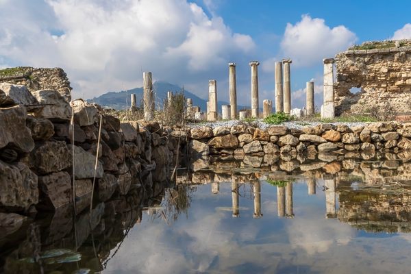
Although the site was discovered as early as the late 19th century, it wasn’t until the 1970s that Toniná was substantially excavated and identified by archeologists. Today, the terraced acropolis sits 71 meters atop a steep hillside overlooking the Great Plaza, two traditional Mesoamerican ball courts and the expansive Ocosingo Valley below. The majority of the site still lays covered with substantial portions of the ruins remaining to be excavated.
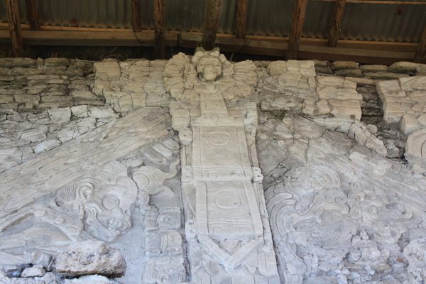
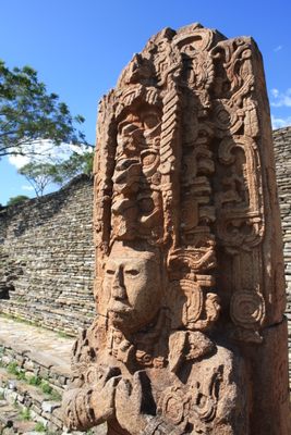
Situated in the pine forests of the Chiapan highlands in southern Mexico, and located on the outskirts of the contemporary Zapatista enclave of Ocosingo, the ruins of the step pyramid of Toniná is representative of the Late Classic period of Mayan history. Toniná’s tradition of aggression and conquest over their foes is exemplified in the plethora of distinctive regionally styled, in-the-round sandstone stelae that depict the capture, decapitation and torture of their rivals. Toniná’s most distinctive feature is its possession of the very last Long Count date on a Maya monument, defining the end of Classic civilization in AD 909.
Known historically as a bellicose kingdom, Toniná is best understood through its interactions with their incessant adversary Palenque, the better-known Mayan city-state, located about 65 km to the north. Throughout the course of their longstanding feud, the two kingdoms would struggle for influence and commercial dominance in the western Mayan region. Ultimately, during Toniná's golden age in the early 8th century, the kingdom would prevail over their chief rival Palenque, sacking the city-state and bringing about their demise.
The number of people that visit the ruins on a given day pales in comparison to the droves of tourists who constantly flock to nearby Palenque.
Related Tags
Know Before You Go
Located off of Mexico Hwy 199, 13 km east of Ocosingo. Entrance is MXN $60 and the archaeological site opens daily (except holidays) from 8 a.m. to 5 p.m.
Yucatan Family Adventure: Meteors, Pyramids & Maya Legends
Explore Maya temples and learn about the asteroid that wiped out the dinosaurs.
Book NowPublished
July 16, 2009

