About
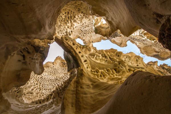
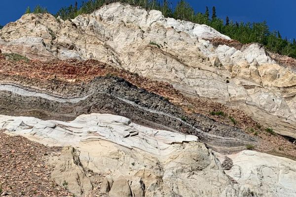
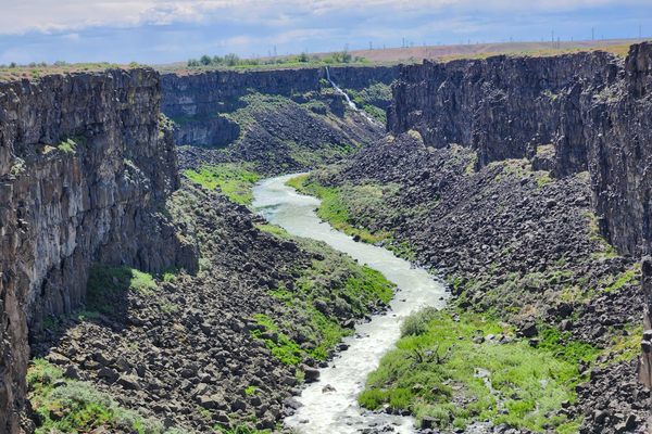
An unusual slot canyon in tilted limestone beds at a narrows on Pahranagat Wash, a normally dry tributary to the Colorado River system. It's blocked at the upstream end by Arrow Canyon Dam, a flood-control structure built in the 1930s by the Civilian Conservation Corps.
Bypassing the dam requires either a technical climb or a lengthy detour, so it's most straightforward to do an out-and-back from the downstream end. Sources vary, but it's roughly three miles from the official trailhead (marked by signs and cable barriers across the canyon) to the dam. Because the canyon is cutting through various rock layers, its character—particularly its width—changes quite a bit depending on the rock unit.
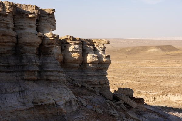
The spectacular "lower narrows" is cut into a massive limestone that in places supports cliffs about 200 feet tall, while the canyon here can be barely 20 feet wide. A prominent side canyon comes in from the left past the narrows; a side trip up it exits into the open desert in a few hundred yards or so. Back in the main canyon, as you continue upstream into the "upper narrows" the soil underfoot becomes much finer, basically dry mud, and it supports a much more luxuriant vegetation cover.
Even though Arrow Canyon Dam should block flash floods coming directly down Pahranagat Wash, it is still prudent to stay out if there are thunderstorms anywhere in the area. There are several large side canyons, like the one mentioned above, coming in below the dam that have clearly carried floods in the recent past.
Related Tags
Know Before You Go
Access is off Nevada State Route 168. Access to the east (downstream) side is via a graded road that turns south about 1/4 mile west of the (paved) Warm Springs Road. This road bypasses private land before coming to a municipal well about 0.6 miles in. Please do not turn into any private driveways. Ordinary passenger cars can park by the well. High-clearance vehicles can follow the continuation of the road, where it finally drops into the main wash, and go all the way to the official trailhead, about another 1.5 miles. The trailhead is marked by cable barriers preventing further vehicle access.
On the west (upstream) side, take the Deadman Wash road south. The junction is about 4.9 miles west of Warm Springs Road. Follow the road about 1.9 miles to the Pahranagat Wash drainage and turn left. The wash will drop toward Arrow Canyon, visible as the gap ahead, and in less than a mile there will be a barrier and a sign preventing further vehicle access. It's then an easy walk down to the top of Arrow Canyon dam, but once again continuing requires a rappel or a big detour.
Update as of October 2022: Parking is no longer allowed by the municipal well. The BLM has constructed an unpaved parking lot about 200 yards along the track that continues to the trailhead. With care, ordinary passenger cars should be able to access this lot. However, high clearance and 4wd are now mandatory for going all the way to the trailhead due to extensive washouts.
Community Contributors
Added By
Published
July 2, 2021


