About
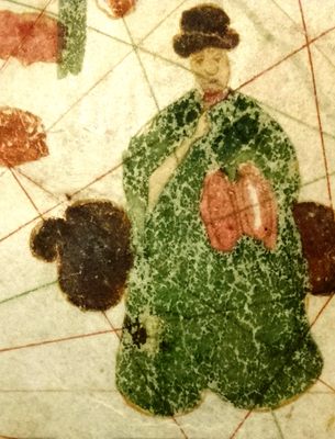
Although Columbus was a mapmaker in his pre-expedition days, he left behind no known maps of his explorations. Luckily for us, Juan de la Cosa, who sailed with Columbus on three journeys, did - leaving us with the oldest known map showing America.
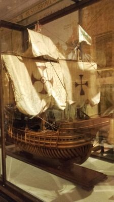
De la Cosa was the captain of the Santa Maria, and later, after she was shipwrecked, the master of the Marigalante, and finally sailed on La Nina. He also "explored" (and with the brutal conquistadors conquered the indigenous inhabitants) the lands of Colombia and Panama with Vasco Nunez de Balboa. He returned to Spain with his famous map, but died in the New World after being fatally shot by indigenous peoples (who his group had previously attacked) with poisoned arrows in Turbaco, Colombia in 1509.
Drawn in or around the year 1500, this early style of map is known as a "mappa mundi" or "world map." Maps like this were highly valuable pieces of maritime information, each new map adding to the store of knowledge that kept ships from wrecking on uncharted hazards. They were also closely guarded state secrets, as they held the keys for one nations superiority over another in maritime trade and colonialism.
De la Cosa's map incorporates older information as well as the recent voyages of Vasco de Gama to India in 1498. Drawn on ox-hide, it measures 72" x 37 1/2".
The map was unknown before 1832 when it was discovered in a Paris shop by the French scientist and map enthusiast Charles Walckenaer. It is thought that the map had been taken from the Secret Archives at the Vatican in 1810 by Napoleon, and found its way into a bookshop after his fall. After Walckenaer's death in 1853, the map was bought by the queen of Spain, and brought back to Madrid.
In 1839 Walckenaer went on to become the conservator of maps for the Department of Maps at the Royal Library in Paris.
Related Tags
Community Contributors
Added By
Published
June 29, 2010


