


About
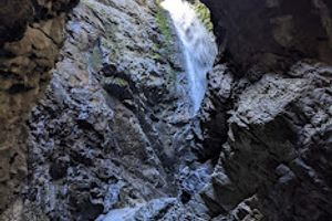
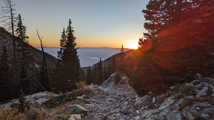
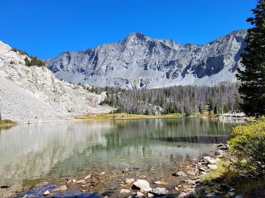
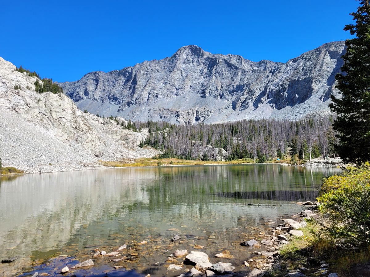
Beautiful Lake Como, Colorado, is the primary rest point for hikers aiming to climb three of the state's iconic fourteeners—Blanca Peak, Ellingwood Point, and treacherous Little Bear Peak. While Blanca, the fourth-highest mountain in the Rockies, offers commanding views of southern Colorado, this trio of peaks is less popular than most other fourteeners. A key factor in this relative obscurity is the grueling approach, which can be up to ten miles (one way) to the Blanca summit. Of course, you can get it down to three—if you’re willing to put your car through hell.
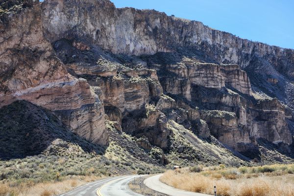
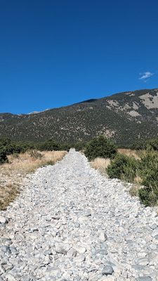
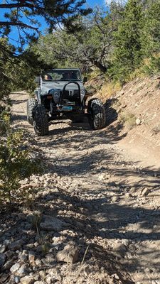
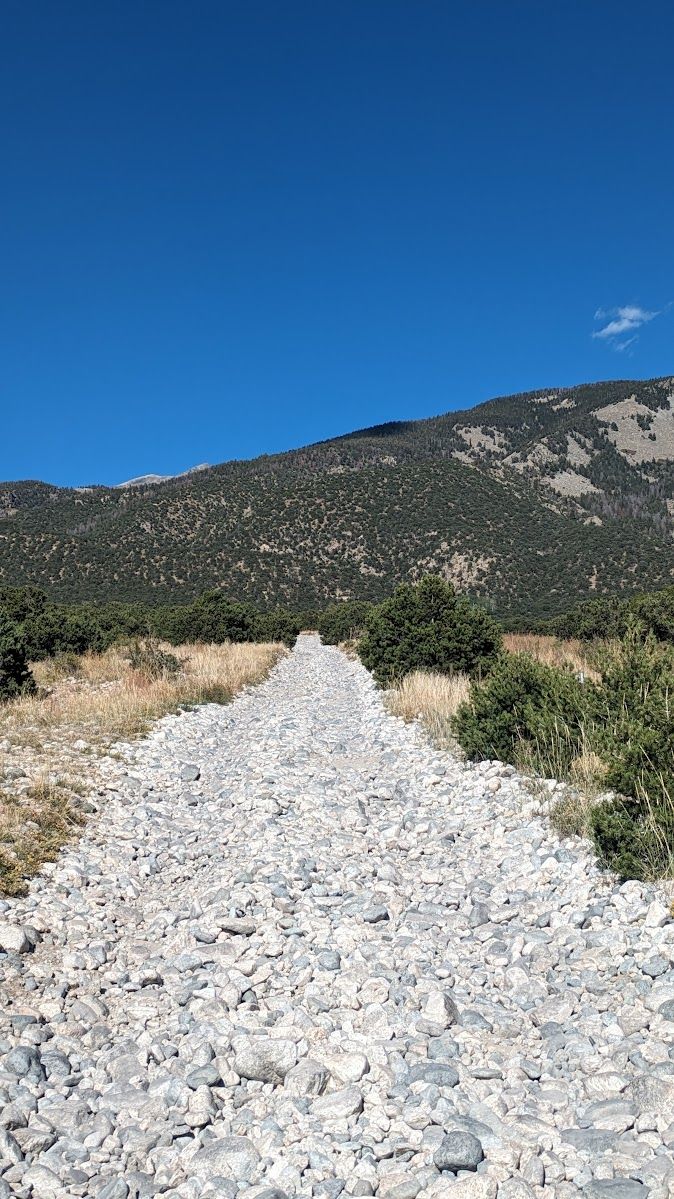
While there is ostensibly a road to the lake, it becomes almost unusable to most vehicles before two miles. Those with high clearance and great suspension can shuffle on a bit longer, tottering over a bed of dry river stones. About five miles in, they will encounter the first of the “jaws,” jagged rock formations that demand careful navigation to avoid damaging even the toughest vehicles. There are four sets of jaws on the road, along with numerous other obstacles. Most climbers opt to begin their hikes long before this point.
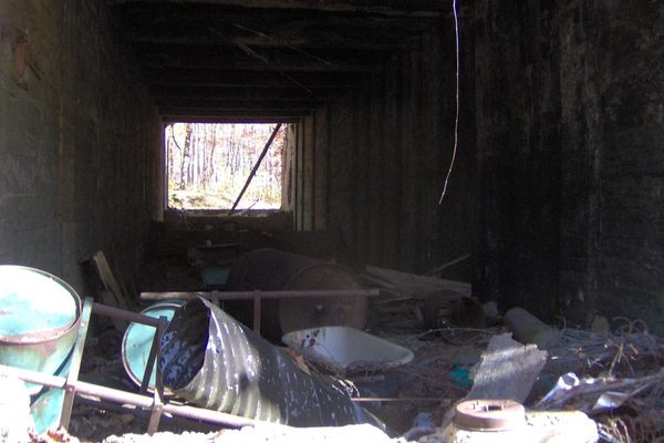
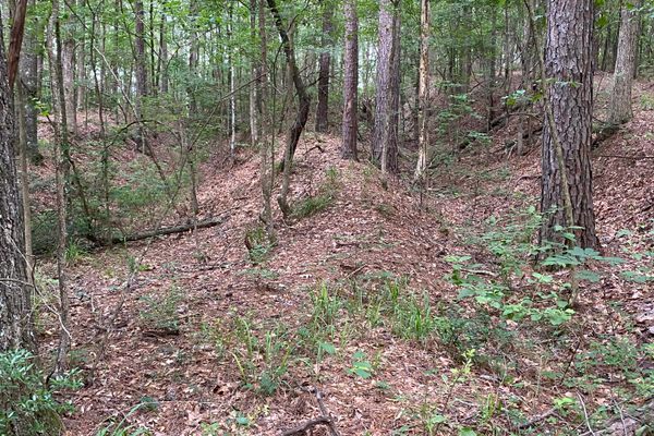
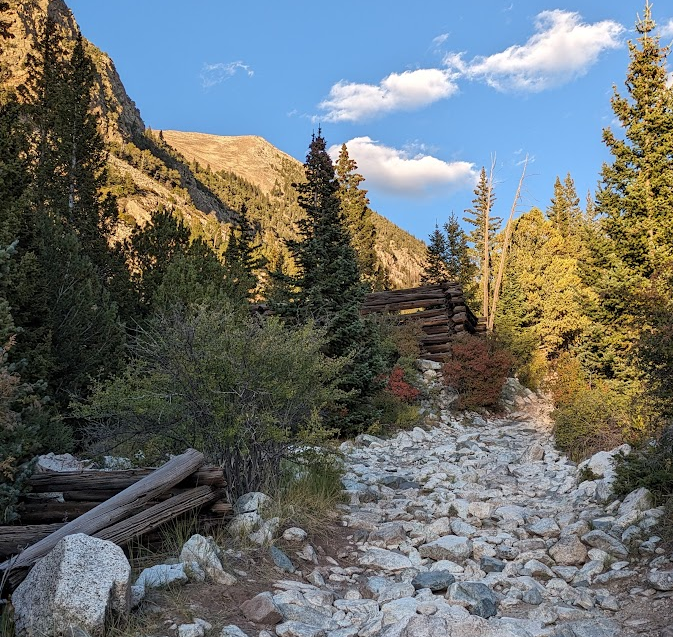
About halfway up the route to Lake Como, there are a handful of dilapidated log cabins. Long since rid of their roofs, floors, windows, and doors, the walls are all that remain. This is the former site of a mining village named Commodore Camp. Though its lifetime was only a few years, it once hosted a boarding house, a post office, and a store. Fire pits inside a few of the cabins indicate that it is still sometimes used as a campsite, though the miners are long gone.
While it is widely known in outdoor circles as one of the most treacherous roads in the United States, it is unlikely to ever be substantially improved. Its difficulty has made Lake Como a destination for off-roading enthusiasts as much as it is for mountain climbers. Local offroading clubs maintain the road just enough to keep it somewhat navigable. Peakbaggers don’t seem to mind much, appreciating the fact that the Blanca massif is spared the crowds of more accessible mountains like Bierstadt and Quandary. Whatever your reason for visiting the mountain, you will know you’re on the road less traveled by—and you will know the reason why.
Related Tags
Know Before You Go
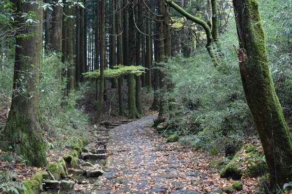
From Alamosa, drive 12 miles east on US Highway 160 and turn left on CO-150. The entrance to Lake Como Road is marked by a large dirt parking area with a few signs, marked on Google Maps as BLM Sacred White Shell Mountain Campground. Unless you are an incredibly talented off-road driver, the best way to experience the climb to Lake Como is on your feet. There is lots of parking along the first 1.5 miles of the road. From there, it is around five to six miles to the lake. Much of this hike is exposed to the sun, so bring sunscreen and plenty of water. Make sure you do plenty of research on this route, no matter what your end goal might be.
Community Contributors
Added By
Published
October 9, 2024
Sources
- https://denvergazette.com/outtherecolorado/adventures/a-trip-up-lake-como-road-the-roughest-road-in-colorado/article_4102f35e-3d91-54e4-851c-29684e1add88.html
- https://www.coloradocentralmagazine.com/colorados-hardest-to-reach-ghost-town-commodore-camp/
- https://www.dangerousroads.org/north-america/usa/6867-blanca-peak.html