Trips Places Foods Stories Newsletters

Take your next trip with Atlas Obscura!

Our small-group adventures are inspired by our Atlas of the world's most fascinating places, the stories behind them, and the people who bring them to life.

Visit Adventures
Trips Highlight
Taktsang Lhakhang, also known as the “Tiger’s Nest”.
Bhutan • 11 days, 10 nights
Festivals & Temples of Bhutan
from
Macchu Picchu
Peru • 10 days, 9 nights
Peru: Machu Picchu & the Last Incan Bridges
from
View all trips
Top Destinations
Latest Places
Most Popular Places Random Place Lists Itineraries
Add a Place
Download the App
Top Destinations
View All Destinations »

Countries

  • Australia
  • Canada
  • China
  • France
  • Germany
  • India
  • Italy
  • Japan

Cities

  • Amsterdam
  • Barcelona
  • Beijing
  • Berlin
  • Boston
  • Budapest
  • Chicago
  • London
  • Los Angeles
  • Mexico City
  • Montreal
  • Moscow
  • New Orleans
  • New York City
  • Paris
  • Philadelphia
  • Rome
  • San Francisco
  • Seattle
  • Stockholm
  • Tokyo
  • Toronto
  • Vienna
  • Washington, D.C.
Latest Places
View All Places »
Mosaic in Beachfront Park.
Tsunami Walking Tour
Madam Yoko’s gravesite.
Madam Yoko’s Grave
Garden path.
Garden of the Presidential Mansion
Anabaptist Cages
Latest Places to Eat & Drink
View All Places to Eat »
The sign declares this the number-one gumbo shop in town.
Gumbo Hut Shioya
The pavlova comes crowned with jewel-like fruit.
Central Park Boathouse
The Village Tavern of Long Grove - exterior.
The Village Tavern
Hunter House Hamburgers
L’Escamoteur
Recent Stories
All Stories Video Podcast
Most Recent Stories
View All Stories »
The Golden Gate Bridge as seen from the Marin Headlands at sunrise.
Listener Stories of Leaving Home: From San Francisco to Japan
about 17 hours ago
Aerial view of Bell Labs Holmdel
How the Bell Labs Holmdel Complex Inspired ‘Severance’
1 day ago
Omni Parker House Hotel
The Omni Parker House: Inside the History of Boston’s Most Iconic Hotel
3 days ago
The cute capybara.
Animal Takeover: Brace Yourself for Adorable Hordes
4 days ago

No search results found for
“”

Make sure words are spelled correctly.

Try searching for a travel destination.

Places near me Random place

Popular Destinations

  • Paris
  • London
  • New York
  • Berlin
  • Rome
  • Los Angeles
Trips Places Foods Stories Newsletters
Sign In Join
Places near me Random place
All the United States Nevada Austin Nevada State Route 722
AO Edited

Nevada State Route 722

US-50 in Nevada is known as "the Loneliest Road in America," but this earlier iteration of the route is even lonelier.

Austin, Nevada

Added By
slgwv
Email
Been Here
Want to go
Added to list
Looking toward Eastgate on old US-50 (NV-722), from near its west junction.   slgwv / Atlas Obscura User
Just off old US-50 (NV-722) east of Carroll Summit.   slgwv / Atlas Obscura User
Old US-50 (NV-722) east of Eastgate.   slgwv / Atlas Obscura User
Eastgate on old US-50 (NV-722). An old stage stop, then a gas station, and now just a ranch.   slgwv / Atlas Obscura User
Old US-50 (NV-722), looking back west from near Carroll Summit. The aftermath of the Cold Springs wildfire is again evident.   slgwv / Atlas Obscura User
hot springs, with cows   mamasafari / Atlas Obscura User
NV-722 (old US-50) in Smith Creek Valley, looking north.   slgwv / Atlas Obscura User
NV-722 (old US-50) up Carroll Summit–before the fire.   slgwv / Atlas Obscura User
Old building off old US-50 (NV-722). This appears to have been a roadside business.   slgwv / Atlas Obscura User
Old US-50 (NV-722) just west of Carroll Summit, showing the curves that led to the realignment! The aftermath of the August 2015 Cold Springs wildfire, caused by lightning, is also evident.   slgwv / Atlas Obscura User
Mustangs just off old US-50 (NV-722).   slgwv / Atlas Obscura User
Smith Creek playa (dry lake bed) just off old US-50 (NV-722). Note the blowcarts (land sailers) on the playa.(   slgwv / Atlas Obscura User
view of 722, from some hot springs   mamasafari / Atlas Obscura User
  birdynumnumz / Atlas Obscura User
hot springs   mamasafari / Atlas Obscura User
Old US-50 (NV-722) in the Reese River Valley looking toward Railroad Summit.   slgwv / Atlas Obscura User
On old US-50 (NV-722), just past Eastgate looking down the canyon.   slgwv / Atlas Obscura User
Old US-50 (NV-722) looking back east across Smith Creek Valley. The clump of trees at what looks like the end of the road (actually it’s a bend) is a ranch and old highway maintenance station. The broad peak on the skyline to the left of the centerline is Bunker Hill (11,473 ft/3497 m) in the Toiyabe Range.   slgwv / Atlas Obscura User
Pony Express side route (not)   mamasafari / Atlas Obscura User
Been Here
Want to go
Added to list

About

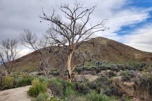
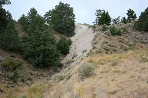
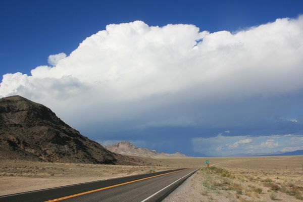
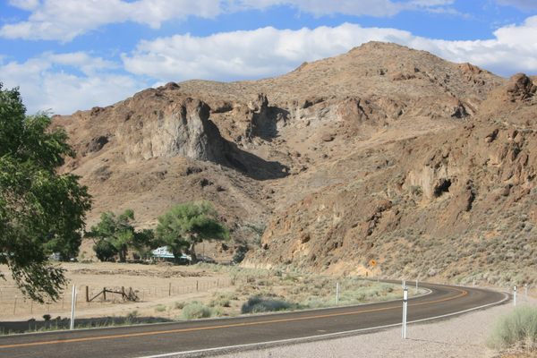
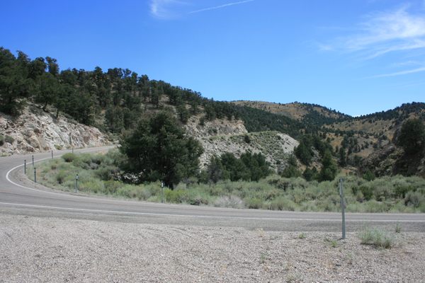
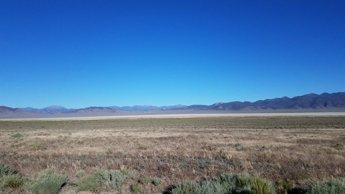
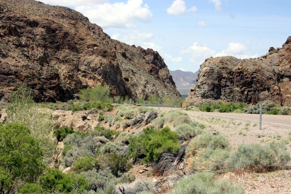
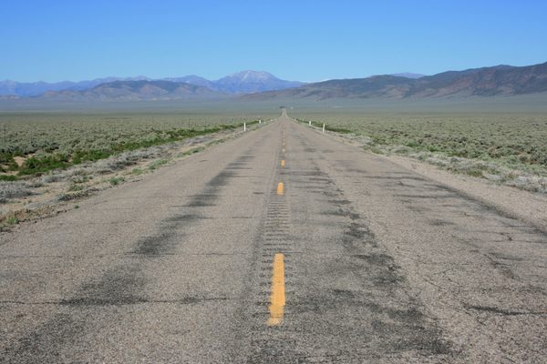
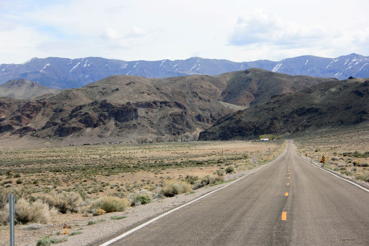
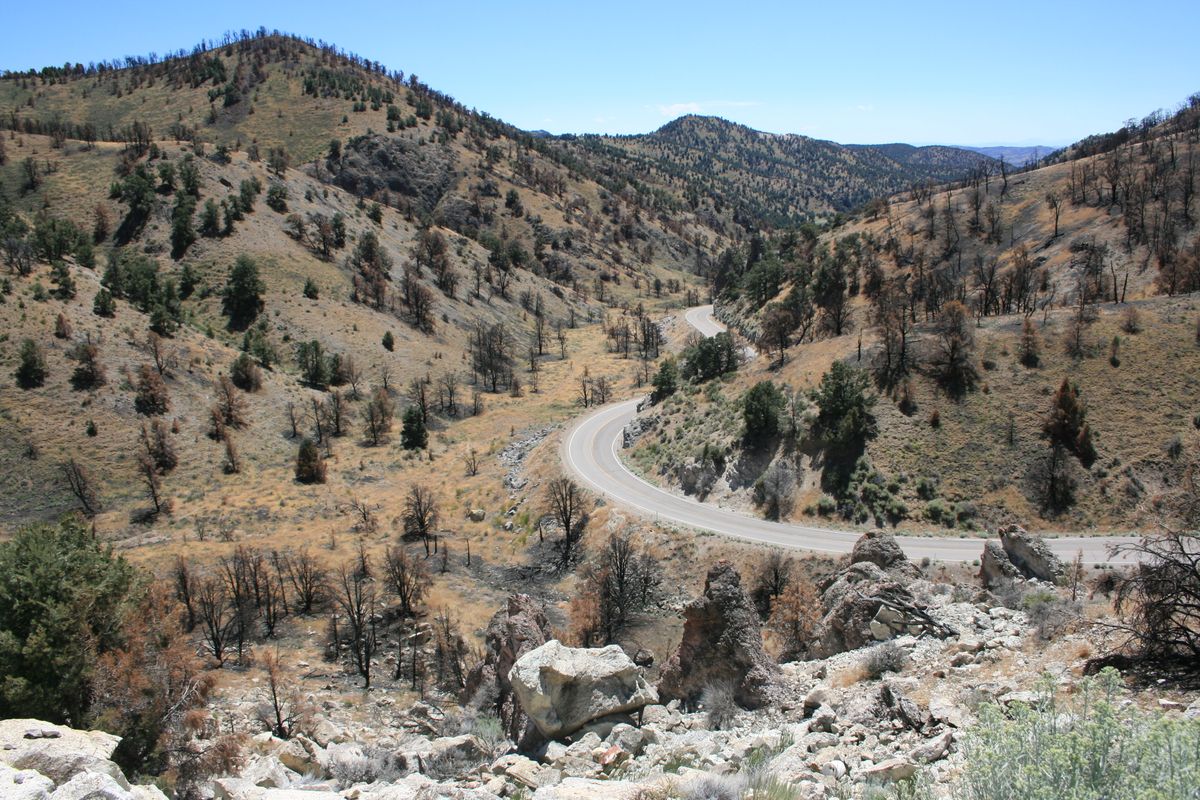
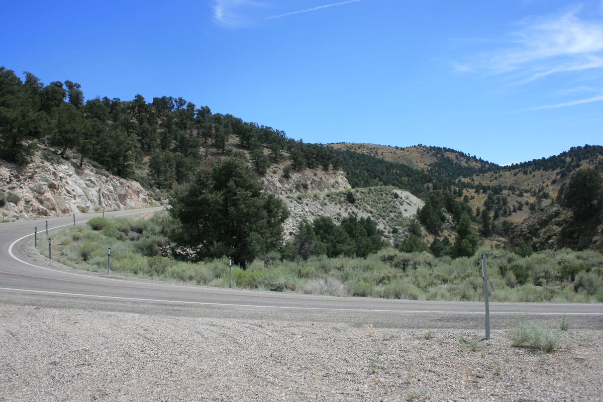
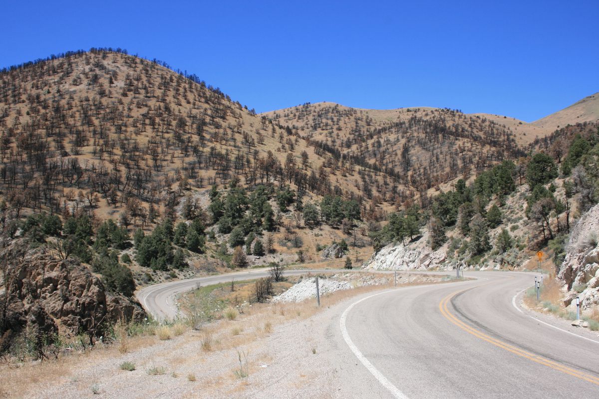
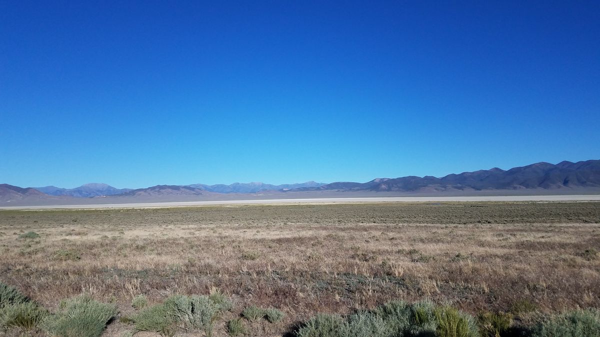
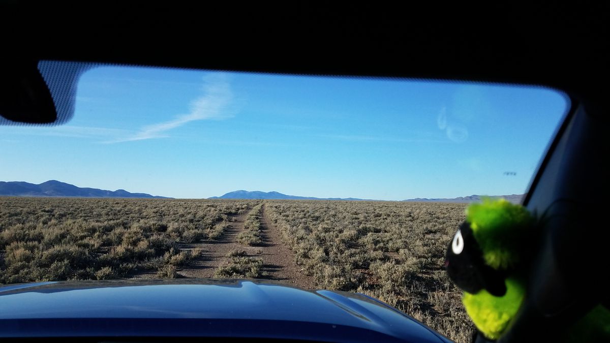
In Nevada, US-50 is well-known as the "Loneliest Road." What's less well-known is that part of the original route of US-50 was itself bypassed in the late 1960s. The original alignment west of Austin, Nevada, ran farther south, crossing the northern Shoshone Mountains at Railroad Summit, and then dropping south in Smith Creek Valley to cross the Desatoya Mountains at Carroll Summit. It rejoins the present alignment near the famous Shoe Tree.

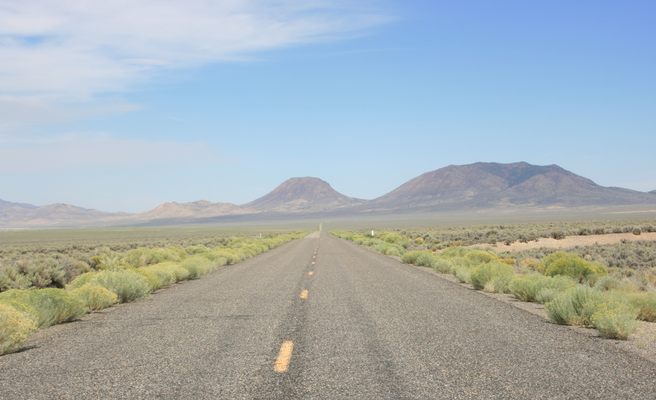
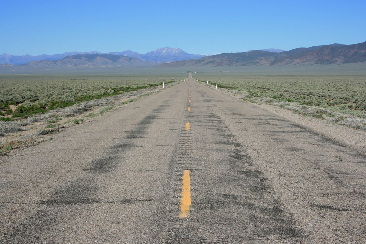
This route was a bit shorter than the current route, but the stretch over Carroll Summit was twisty and slow, and difficult for big rigs. So, after years of agitation, the highway was changed to the present alignment in the late 1960s. It's a bit longer but a lot straighter, and also doesn't involve as much altitude change.

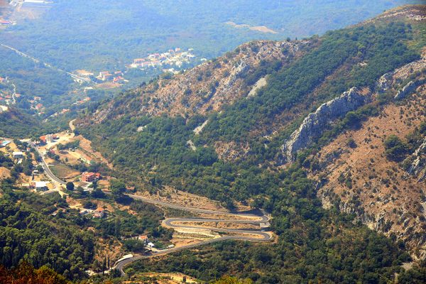
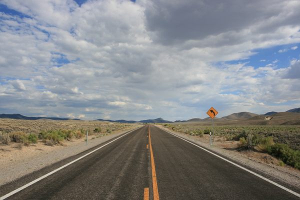
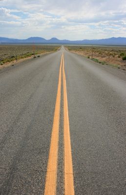
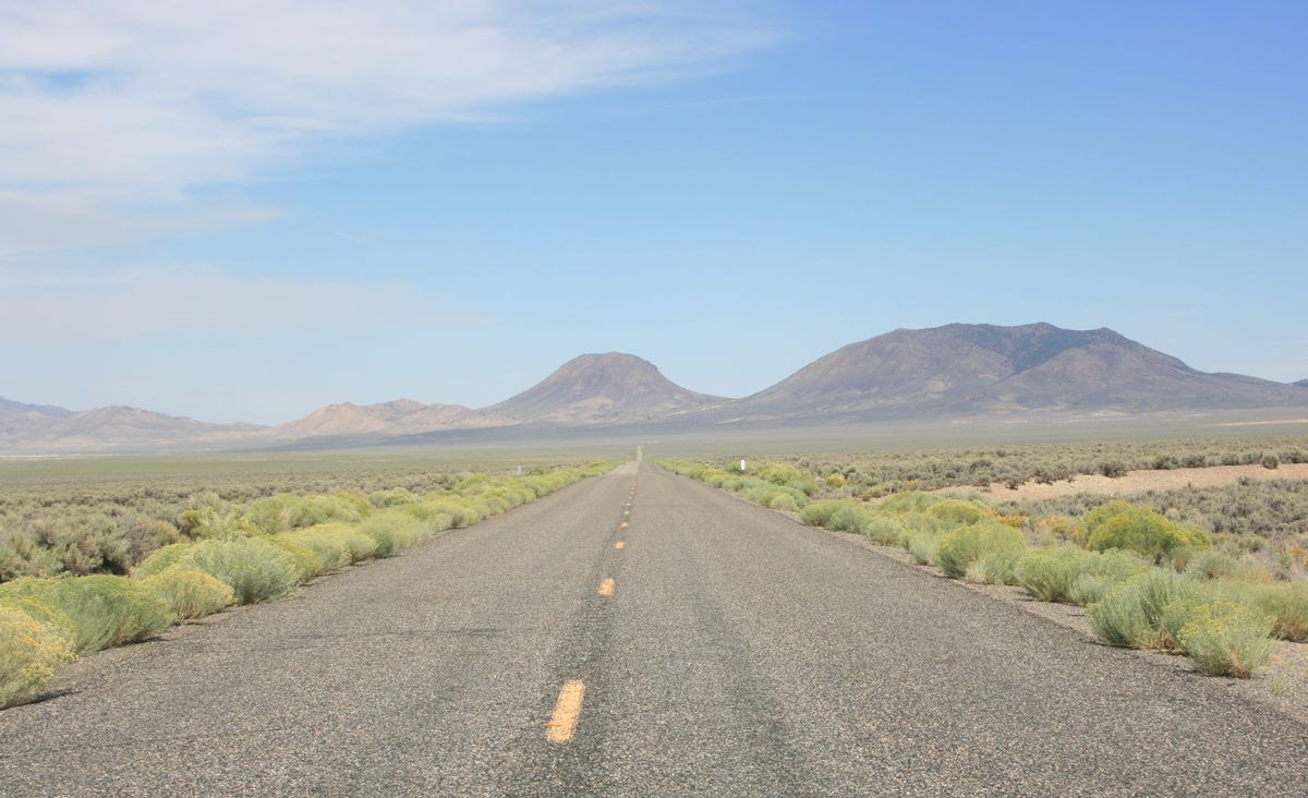
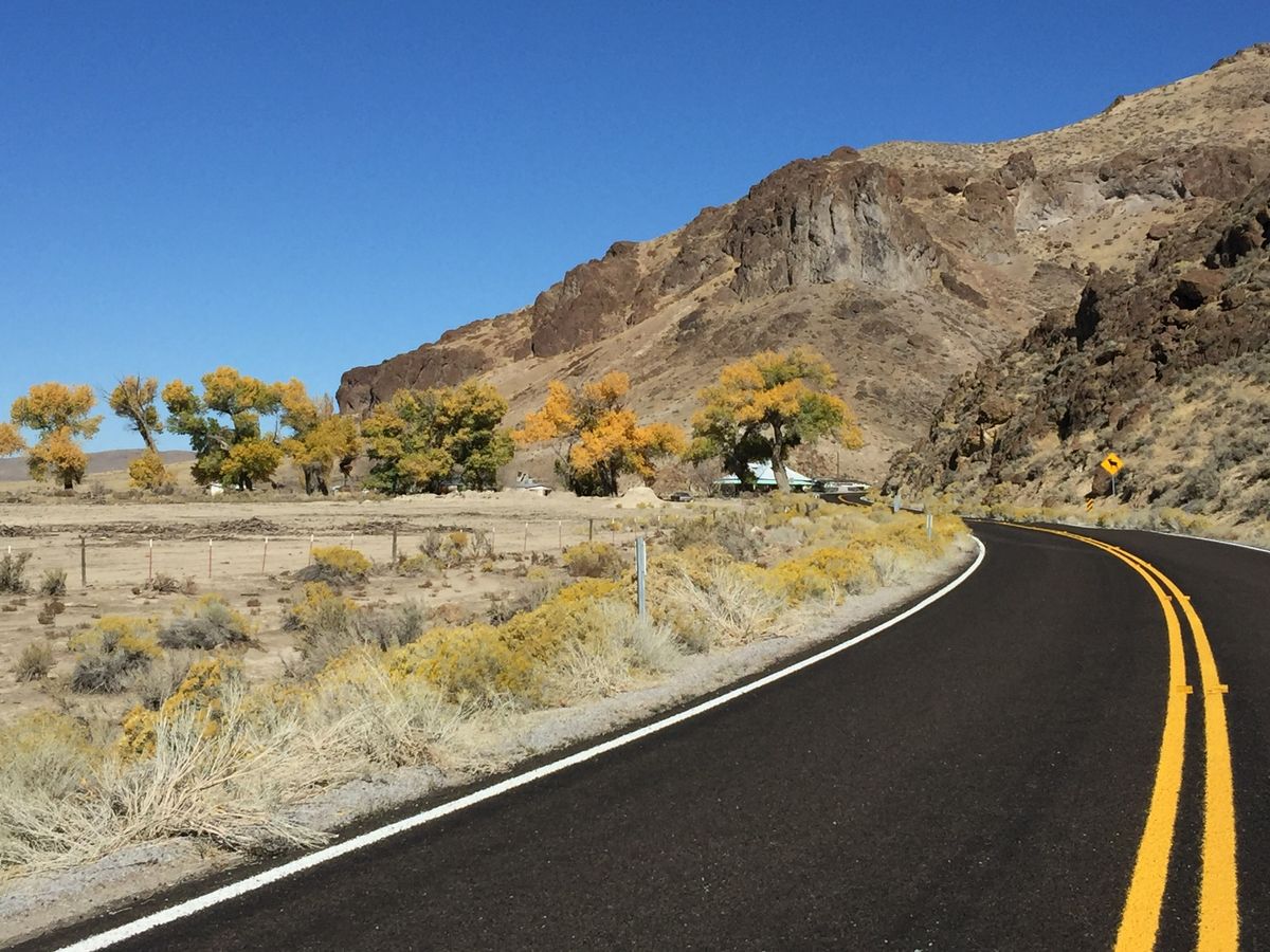
The old alignment is preserved as Nevada SR-722, however. It gets minimal maintenance, but it is paved, and because of the crossing of the Desatoya Mountains it's even more scenic. So, for an even lonelier road take old US 50.

Related Tags

Roads Highways Infrastructure

Know Before You Go

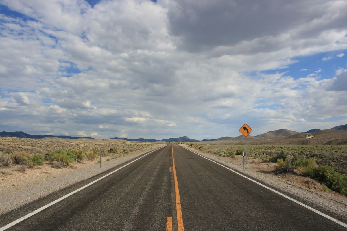
The junctions of Nevada SR-722 (old US 50) with the present highway are well-marked and should present no problem.

Community Contributors

Added By

slgwv

Edited By

mamasafari, birdynumnumz

  • mamasafari
  • birdynumnumz

Published

July 5, 2021

Edit this listing

Make an Edit
Add Photos
Sources
  • https://en.wikipedia.org/wiki/Nevada_State_Route_722
Nevada State Route 722
NV-722
Austin, Nevada, 89310
United States
39.260802, -117.692027
Get Directions

Nearby Places

The Shoe Tree of Middlegate

Fallon, Nevada

miles away

Middlegate Station

Fallon, Nevada

miles away

Fairview Peak-Dixie Valley Fault Scarps

Fallon, Nevada

miles away

Explore the Destination Guide

Photo of Austin

Austin

Nevada

Places 7

Nearby Places

The Shoe Tree of Middlegate

Fallon, Nevada

miles away

Middlegate Station

Fallon, Nevada

miles away

Fairview Peak-Dixie Valley Fault Scarps

Fallon, Nevada

miles away

Explore the Destination Guide

Photo of Austin

Austin

Nevada

Places 7

Related Places

  • Rotterdam, Netherlands

    Street Posts Museum

    An unexpected public exhibit showcases the diversity of Dutch street posts.

  • Musical Road Ahead

    Palmdale, California

    R. Lee Ermey Musical Road

    The road plays 30 seconds of the Marine’s Hymn when driving over the grooved pavement.

  • National Route 66 Museum

    Elk City, Oklahoma

    National Route 66 Museum

    An Oklahoma museum that celebrates the history of the "Mother Road."

  • Alaska Highway Mile 0 sign

    Dawson Creek, British Columbia

    Alaska-Canada Highway Mile 0

    The arch marks the beginning of the road for northbound travelers.

  • The sign before it was covered in stickers.

    Chicago, Illinois

    Beginning (and End) of Historic Route 66

    A journey begins with a single step, and for many, the road-trip of a lifetime started at this Chicago intersection.

  • US 6, looking east to a squall, just west of Warm Springs.

    Tonopah, Nevada

    U.S. 6 in Nevada

    A stretch of highway even lonelier than the so-called "Loneliest Road in America."

  • Miyakojima Mamoru-kun

    Miyakojima, Japan

    Mamoru-kun Patrolman

    Made to improve road safety, these policemen-like figurines in Miyakojima island have earned an enthusiastic fanbase.

  • “M” shaped road section between Kotor and Trojica

    Trojica, Montenegro

    "M" Road

    The hairpin turns in this mountain road take the shape of a letter—is it a coincidence or a symbol of love?

Aerial image of Vietnam, displaying the picturesque rice terraces, characterized by their layered, verdant fields.
Atlas Obscura Membership

Become an Atlas Obscura Member


Join our community of curious explorers.

Become a Member

Get Our Email Newsletter

Follow Us

Facebook YouTube TikTok Instagram Pinterest RSS Feed

Get the app

Download the App
Download on the Apple App Store Get it on Google Play
  • All Places
  • Latest Places
  • Most Popular
  • Places to Eat
  • Random
  • Nearby
  • Add a Place
  • Stories
  • Food & Drink
  • Itineraries
  • Lists
  • Video
  • Podcast
  • Newsletters
  • All Trips
  • Family Trip
  • Food & Drink
  • History & Culture
  • Wildlife & Nature
  • FAQ
  • Membership
  • Feedback & Ideas
  • Community Guidelines
  • Product Blog
  • Unique Gifts
  • Work With Us
  • About
  • FAQ
  • Advertise With Us
  • Advertising Guidelines
  • Privacy Policy
  • Cookie Policy
  • Terms of Use
Atlas Obscura

© 2025 Atlas Obscura. All Rights Reserved.